Plizio Visual Lab
Piton Mitan
Weather…
Water temperature…
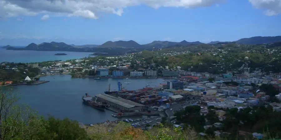
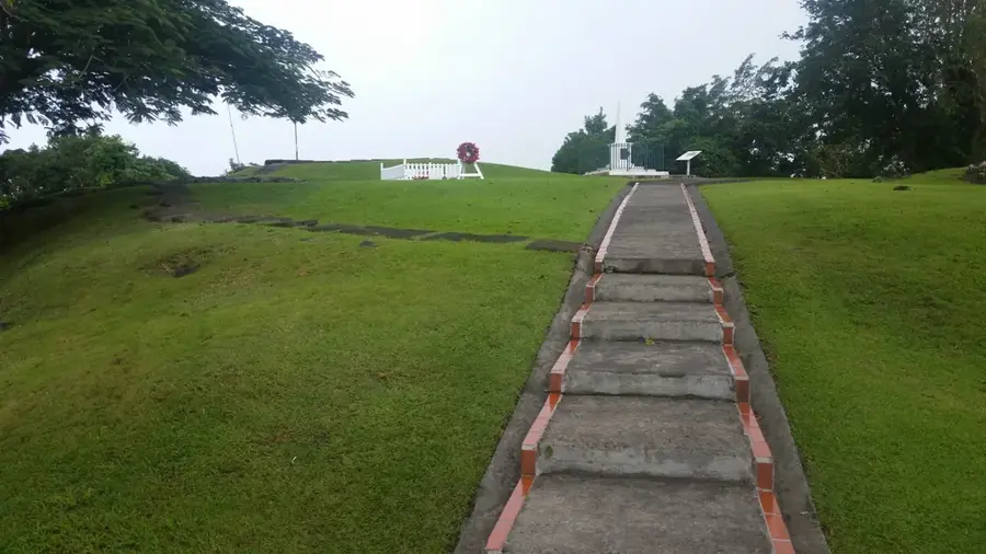
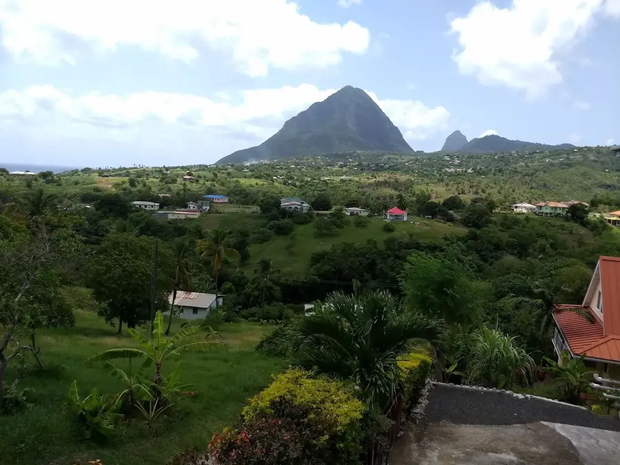
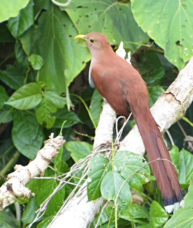
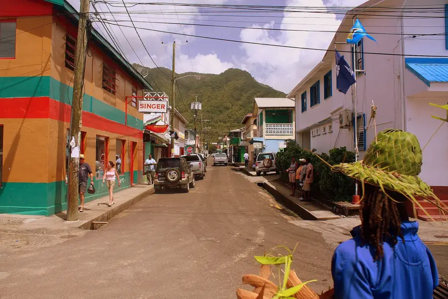
Piton Mitan is a prominent mountain peak located in the lush central highlands of Saint Lucia, serving as a vital sanctuary for the island's diverse flora and fauna. Enveloped in primary rainforest, the mountain is a highlight for nature enthusiasts and hikers seeking to explore the interior beyond the famous coastal Pitons. The trails ascending Piton Mitan wind through dense tropical canopy, where hikers can spot endemic birds such as the Saint Lucia parrot (Amazona versicolor) amidst towering ferns and ancient trees. At the summit, the mountain features sweeping panoramic views that bridge the gap between the Caribbean and Atlantic horizons, providing a unique vantage point of the island's rugged spine. Piton Mitan's central position is crucial for the island's ecology, as its forested slopes catch significant rainfall from the trade winds, feeding the river systems below. For those looking for an authentic rainforest experience, Piton Mitan represents the "green heart" of Saint Lucia, characterized by its misty summits and pristine wilderness.
- Location: St. Lucia
- Nearby: Marigot Bay (4 km)
Best time to visit & climate
The most pleasant time to visit is Jan–Mar.
| Jan | Feb | Mar | Apr | May | Jun | Jul | Aug | Sep | Oct | Nov | Dec | |
|---|---|---|---|---|---|---|---|---|---|---|---|---|
| Avg °C | 26 | 26 | 26 | 27 | 28 | 28 | 28 | 28 | 29 | 28 | 28 | 27 |
| Rain mm | 68 | 44 | 48 | 97 | 102 | 136 | 154 | 180 | 182 | 189 | 159 | 85 |
📋 Practical info
Geography
Facts
- Maximum elevation is approximately 360 meters.
- Central location along the island's volcanic backbone.
- Visible from the main highway crossing the island.
- Important habitat for tropical tree ferns.
- Serves as a landmark in the central highlands.
- Geologically composed of ancient volcanic rock.
Explore nearby
Notable places around
Route planner — Car & Motorhome
Where do you start? We build the route here, with stops and country notes along the way.
© OpenStreetMap contributors · OpenRouteService
Sights in the town Piton Mitan (1)
Sights nearby
Frequently asked questions
How high is Piton Mitan?
Do I need a guide to climb it?
How long does the hike to the summit take?
What clothing is recommended?
Is there drinking water on the trail?
Piton Mitan: where is it located?
Piton Mitan: when is the best time to visit?
Piton Mitan: why is it worth visiting?

Nearby cities