Plizio Visual Lab
Parângul Mic Peak
Weather…
Water temperature…
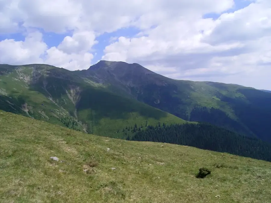
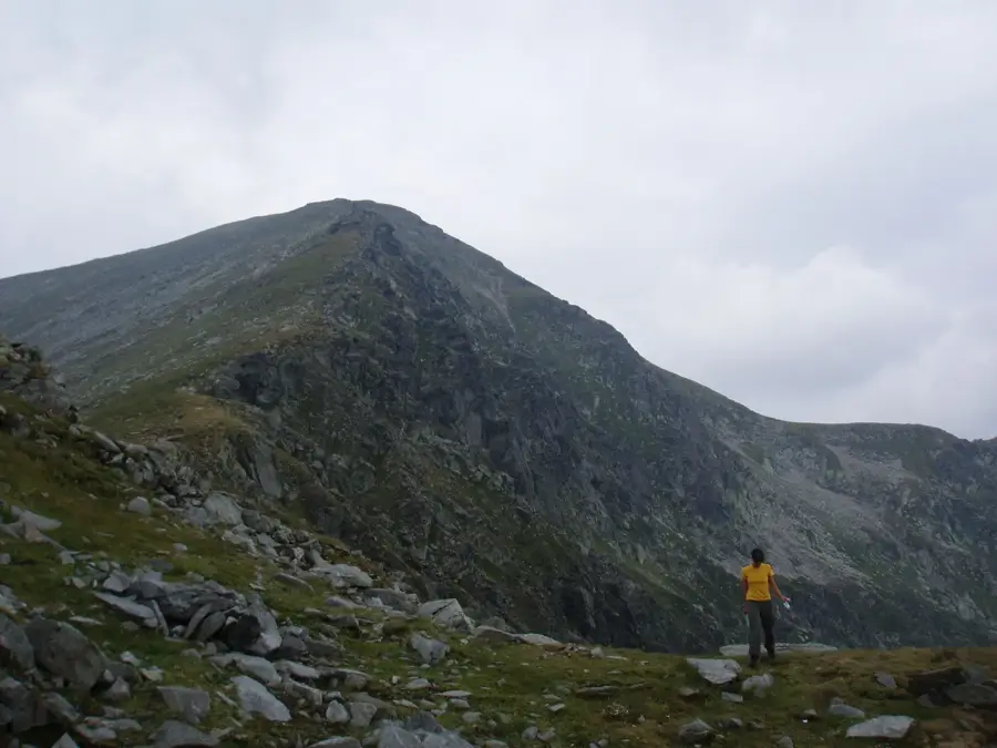
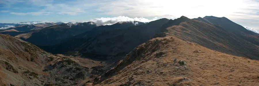
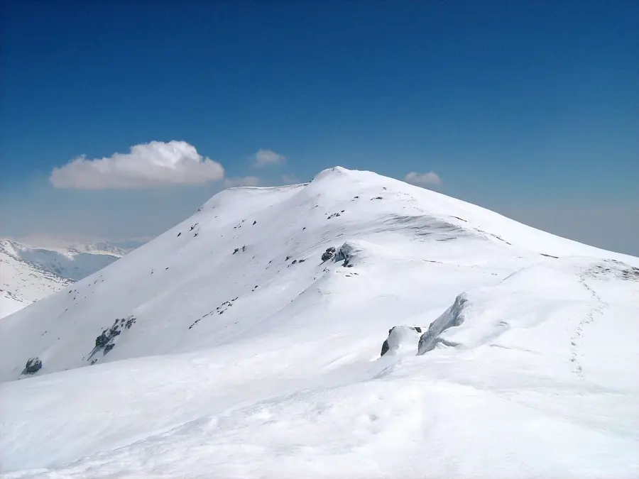
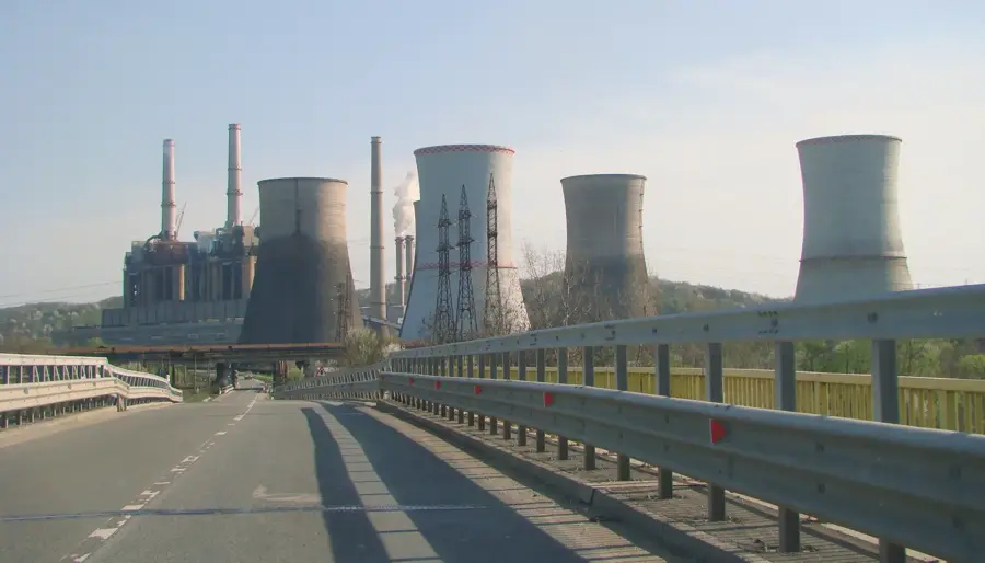
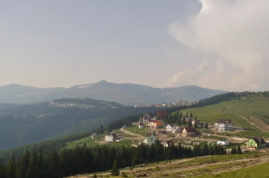
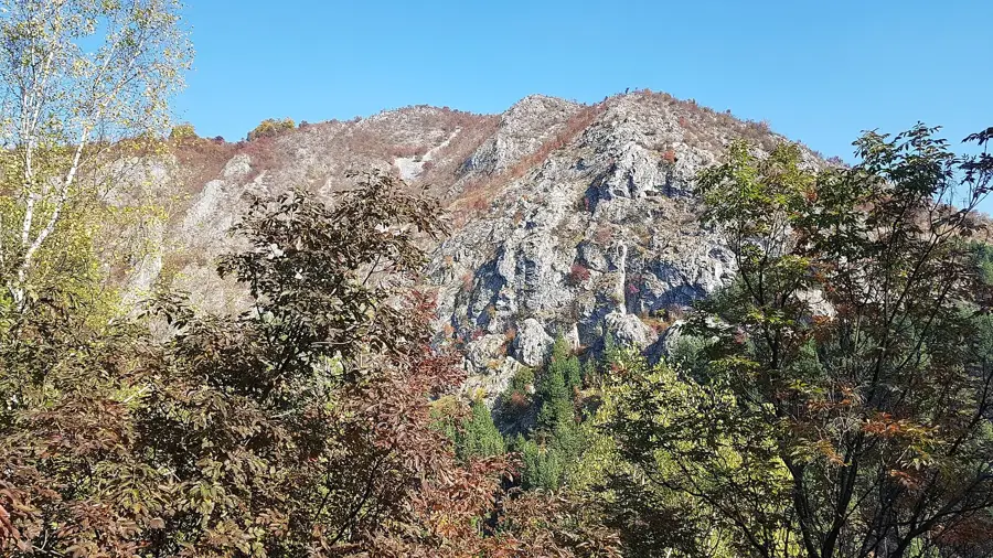
Parângul Mic is a prominent peak in the Parâng Mountains of the Southern Carpathians, reaching an altitude of 2,074 meters. It is situated at the western edge of the massif, directly above the industrial city of Petroșani and the Parâng tourist resort. The peak serves as a natural gateway for hikers embarking on the main ridge trail towards the highest summit, Parângul Mare. The terrain is characterized by rolling alpine meadows, interspersed with rocky outcrops and steep slopes facing the Jiu Valley. Geologically, it is composed of metamorphic rocks that have been shaped by millennia of weathering and erosion. Its accessibility is enhanced by the local chairlift system, making it a frequent destination for tourists and amateur hikers alike. From the summit, one can enjoy a panoramic view of the Petroșani Depression and the distant peaks of the Retezat Mountains. Historically, the peak was part of the ancient pastoral routes connecting Transylvania with the Oltenia region. In winter, the slopes surrounding the peak are popular for skiing and snowboarding due to reliable snow cover.
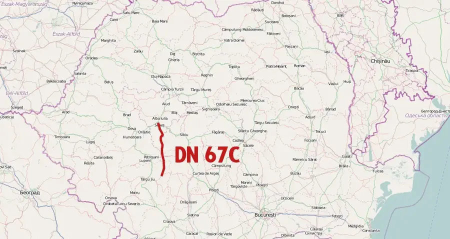
- Location: Gorj, Romania
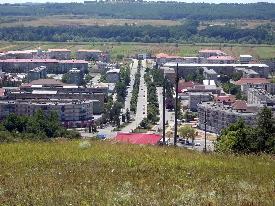
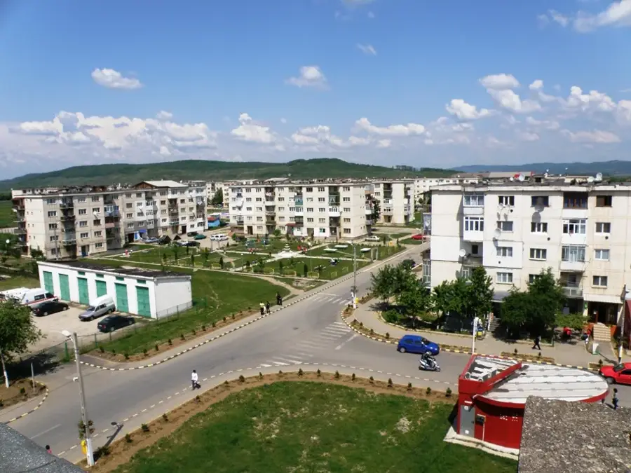
- Nearby: Petroșani (13 km)
Best time to visit & climate
The most pleasant time to visit is Jul–Sep.
| Jan | Feb | Mar | Apr | May | Jun | Jul | Aug | Sep | Oct | Nov | Dec | |
|---|---|---|---|---|---|---|---|---|---|---|---|---|
| Avg °C | -6 | -4 | 0 | 5 | 10 | 14 | 16 | 17 | 12 | 6 | 2 | -4 |
| Rain mm | 45 | 42 | 53 | 70 | 103 | 122 | 109 | 78 | 64 | 66 | 52 | 50 |
📋 Practical info
Geography
Facts
- Parângul Mic stands at an altitude of 2,074 meters (6,804 feet).
- It is located in the westernmost part of the Parâng mountain range.
- The peak is easily reached from the top station of the Petroșani chairlift.
- It provides a direct overview of the entire Jiu Valley mining basin.
- The geology consists mostly of crystalline schists and gneisses.
- The summit is marked by several large telecommunication antennas.
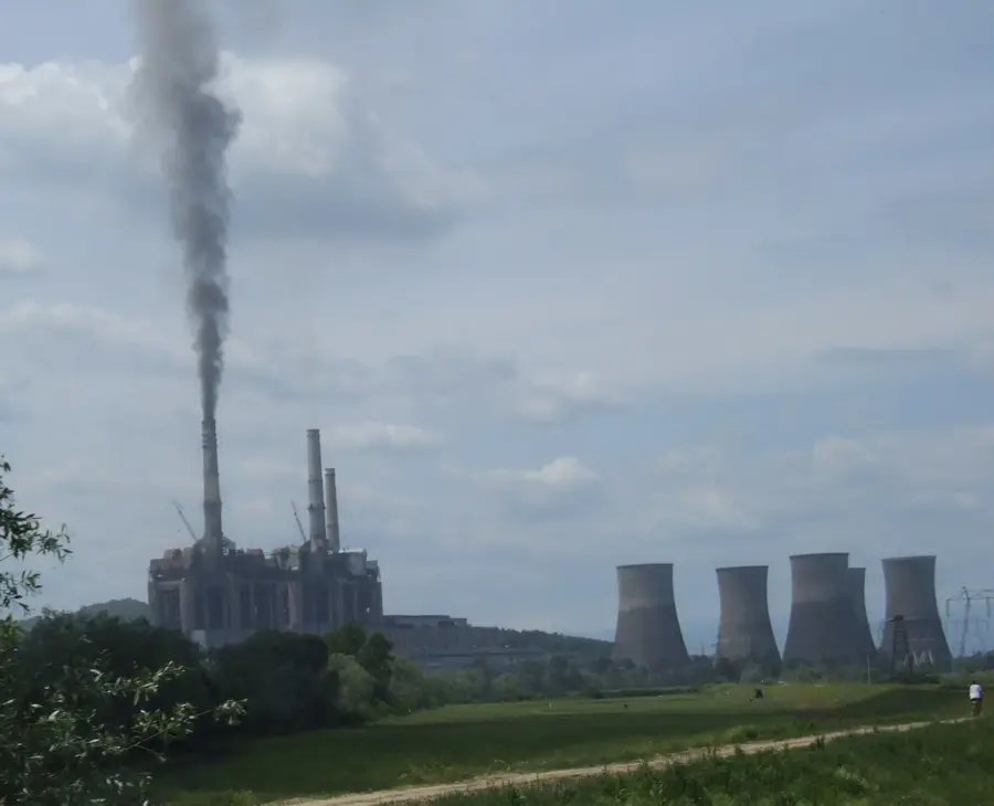
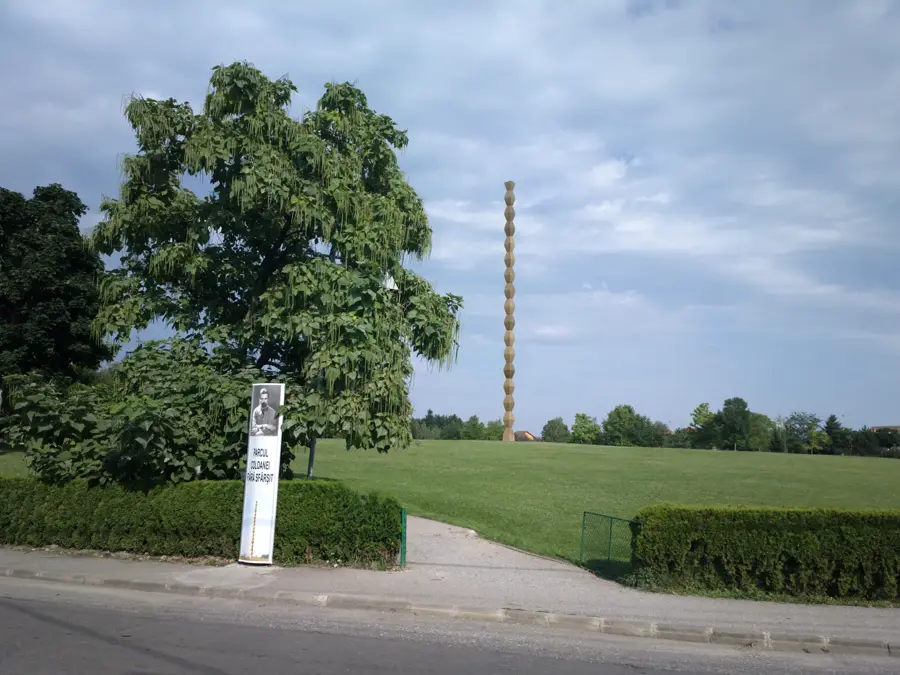
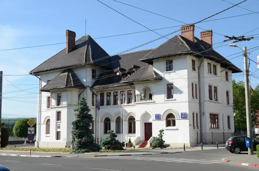
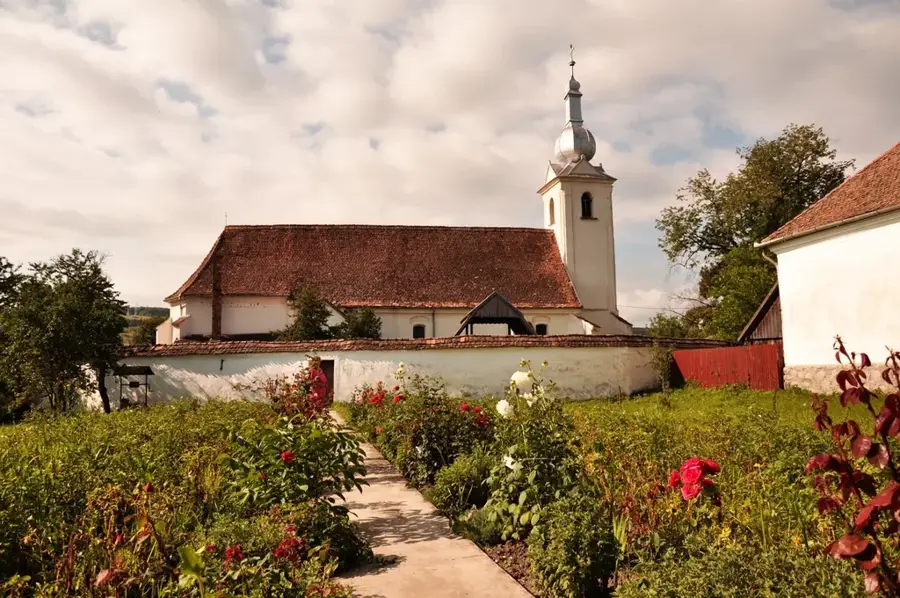
Explore nearby
Notable places around
Route planner — Car & Motorhome
Where do you start? We build the route here, with stops and country notes along the way.
© OpenStreetMap contributors · OpenRouteService
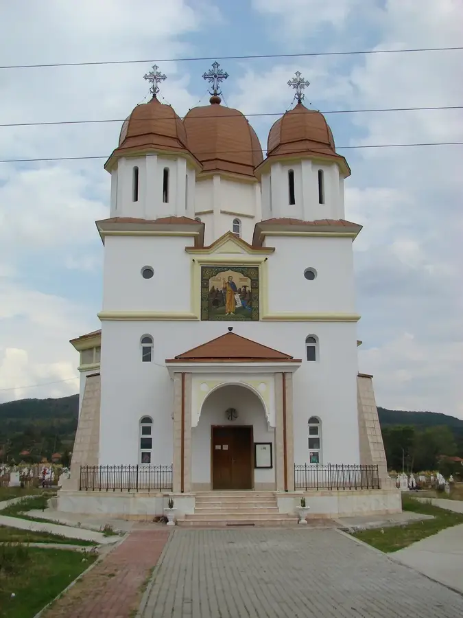
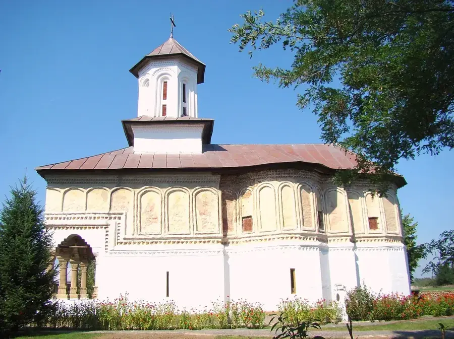
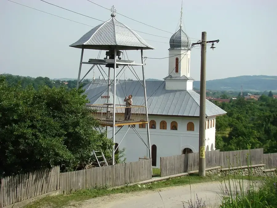
Sights nearby
Frequently asked questions
Where is the Parângul Mic peak located?
Can you reach the peak by chairlift?
How high is Parângul Mic?
How difficult is the hiking trail?
What can you see from the summit?
Parângul Mic Peak: where is it located?
Parângul Mic Peak: when is the best time to visit?
Parângul Mic Peak: why is it worth visiting?

Nearby cities

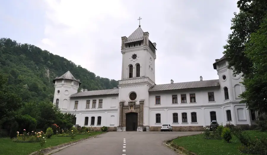
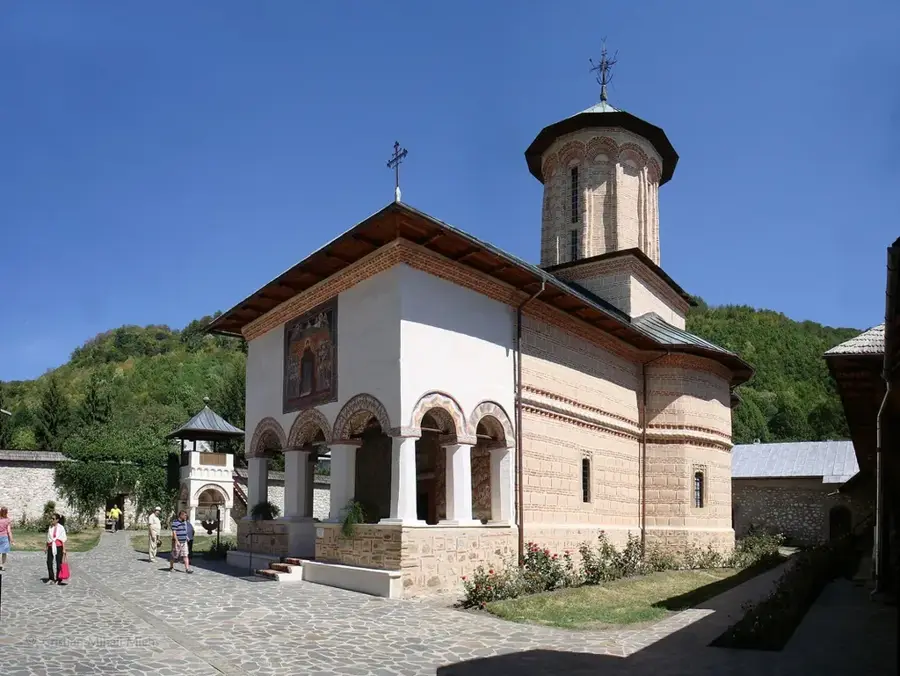
History & landmarks
Nature