Plizio Visual Lab

Măgurele

Plizio editorial teamData Sources
City
—°2525
Măgurele (Romania)
ℹ️

Practical info — Măgurele

🌤 Weather — 5 days

📍 Nearby

Sights nearby

💡 Tips

  • Măgurele is very close to Bucharest; taking a bus from the capital is usually faster than driving during rush hour.
  • While the ELI-NP laser facility isn't fully open for casual tourist tours, the exterior architecture of the research campus is impressive to see.
  • Parking is generally free and easy to find in the town center compared to Bucharest.
  • Check out the town center park for a quick rest if you are visiting the local institutes.

🍽 Food

🍽
Mici cu muștar

Traditional grilled meat rolls with mustard at a local grill near the main road.

🍽
Ciorbă de burtă

Tripe soup at a traditional tavern in the center.

🍽
Covrigi

Fresh pretzels from a bakery near the bus stops.

🛍 Shopping · 🧘 Quiet spots

🛍
Local Farmers Market

Fresh vegetables and local cheeses in the morning.

🛍
Town Center Bakeries

Traditional Romanian sweet breads like cozonac.

🧘
Parcul Central Măgurele

A small but well-kept park in the heart of the city with shaded benches.

🧘
Areas around the Physics Institutes

Often quiet and green, suitable for a calm walk.

Highlights of 2026

2

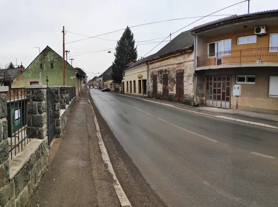
First edition of Urban Picnic Măgurele

The first edition of the Urban Picnic Măgurele event brought the local community together in a space dedicated to relaxation and creativity. The manifestation transformed a public space into a vibrant meeting point for residents and visitors.

Launch of the Măgurele Rugby Festival

Dumitrana Park hosted the first edition of the Măgurele Rugby Festival, marking the beginning of a new local sports tradition. The competition promoted sports and team spirit among children and young people in the city.

The commune of Măgurele is located in the central part of Prahova County, approximately 15 kilometers north of the city of Ploiești, and is crossed by the Teleajen River. The locality is situated in the terrace region of the Subcarpathians, benefiting from a hilly relief that has favored the development of fruit and wine growing over time. The commune consists of the villages of Măgurele, Coada Malului, and Iazu, and is crossed by the DN1A national road, which represents an important alternative for traffic between Bucharest and Transylvania. The history of the place is linked to the traditional rural communities of Prahova, with the first documentary mentions appearing in the 17th century. In addition to agricultural activities, the locality benefits from the presence of the Ploiești-Măneciu railway, which has facilitated economic links with the rest of the county. The temperate climate and scenic natural landscapes complete the profile of this settlement located on the border between the plain and the mountains.

Best time to visit & climate

The most pleasant time to visit is Jun, Aug, Sep.

JanFebMarAprMayJunJulAugSepOctNovDec
Avg °C-2161218222525191360
Rain mm443439436579674652564248

Geography

Population
9,375
Coordinates
44.33000, 26.03000

Facts

  • The commune is located on the DN1A national road, north of Ploiești.
  • It consists of three villages: Măgurele, Coada Malului, and Iazu.
  • It is crossed by the Teleajen River, offering a terrace relief.
  • The locality is served by the Ploiești-Măneciu railway line.
  • The first documentary mentions of the villages appear in the 17th century.
  • The population is approximately 4,300 inhabitants according to the 2021 census.

Explore nearby

Notable places around

Route planner — Car & Motorhome

Where do you start? We build the route here, with stops and country notes along the way.

Vehicle
Only stops with (optional):

© OpenStreetMap contributors · OpenRouteService

Sights in the town Măgurele (5)

ELI-NP Laser Facility🎭 culture

One of the world's most advanced laser research centers, a key part of the European nuclear physics infrastructure.

Fostul conac Oteteleșanu🏺 historical

A former manor house in Măgurele, associated with the history of Romanian science.

urzici🌿 nature

A local viewpoint in Măgurele offering a look over the surrounding area.

Biserica ,,Sfintii Imparati Constantin si Elena"⛪ religious

An Orthodox church in Măgurele dedicated to Saints Constantine and Helen.

Biserica „Sfânta Treime” - Gherman⛪ religious

Biserica „Sfânta Treime” - Gherman is a local place of worship in Măgurele.

Frequently asked questions

Why is Măgurele internationally famous?
It is home to ELI-NP, one of the world's most powerful laser facilities for nuclear physics research.
How close is it to Bucharest?
Măgurele is located immediately southwest of Bucharest, about 12 km from the city center.
What public transport goes there?
There are regular STB bus lines from Bucharest, such as 427 and 464.
Can you visit the research center?
Usually only by prior appointment or during special open-door days for schools and groups.
Are there any green spaces in Măgurele?
Yes, there is a nice local park located near the Physics Institute.
Măgurele: where is it located?
Măgurele is located in Bucharest, Romania.
Măgurele: what is there to see?
Highlights include ELI-NP Laser Facility, Fostul conac Oteteleșanu, urzici.
Măgurele: when is the best time to visit?
The most pleasant time to visit is Jun, Aug, Sep.
Măgurele: why is it worth visiting?
The commune of Măgurele is located in the central part of Prahova County, approximately 15 kilometers north of the city of Ploiești, and is crossed by the Teleajen River.
View on map → The Top 50 Attractions → OpenStreetMap →
Europe
Explore with Plizio Discover more places in Europe
More places in Romania →

Nearby cities

History & landmarks

More places