Plizio Visual Lab
Serra de Santana

The Serra de Santana is a prominent mountain relief located in the Portalegre district of eastern Portugal, near the Spanish border. It belongs to the orographic system of the Alentejo region, with elevations exceeding 600 meters. Geologically, the range is characterized by quartzite formations and metamorphic schists that create rugged ridges resistant to erosion. The vegetation is typically Mediterranean, featuring extensive cork oak forests and olive groves on the lower slopes. Historically, the range served as a natural defensive line and a boundary marker, with nearby fortified towns like Nisa highlighting its strategic importance. The climate is defined by hot, dry summers and cool, rainy winters, which shapes local land use primarily around cork production and livestock farming. Hiking trails through the range provide expansive views over the plains of Alto Alentejo and the Tejo River valley, making it a key site for regional geodiversity.
- Location: Portugal
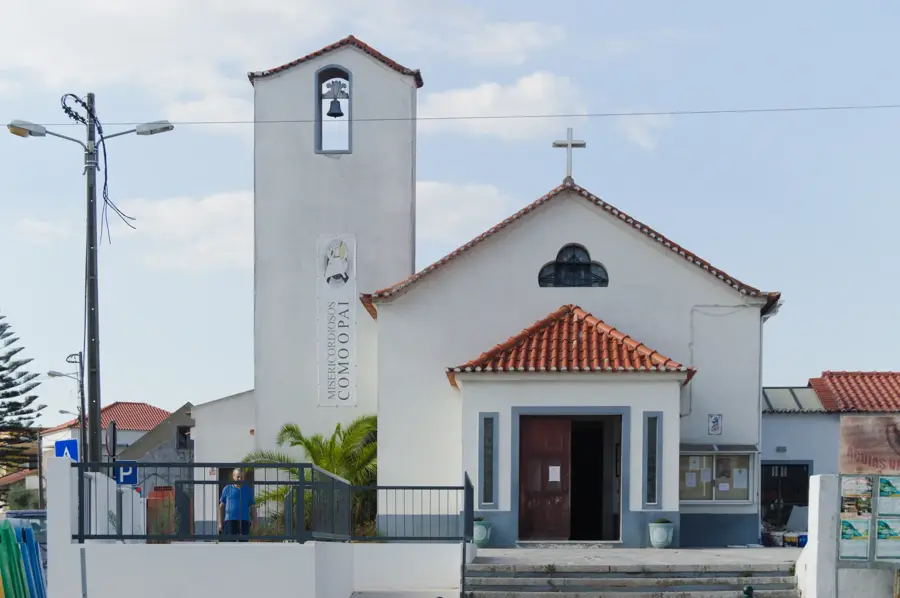
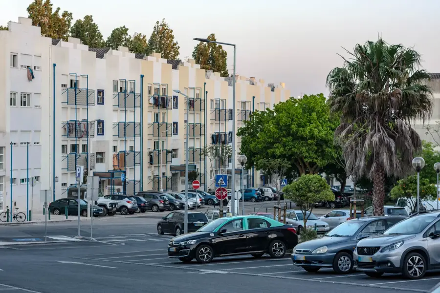
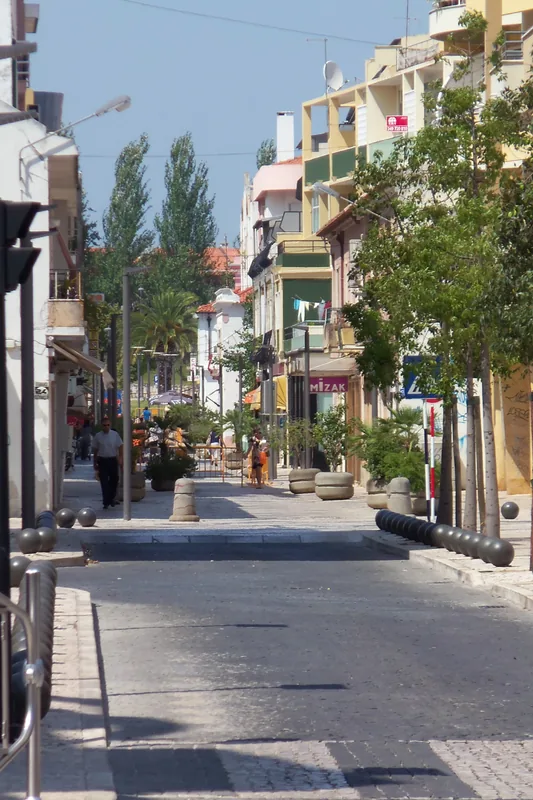
- Top sights: Casa Dos Almeidas · Baloiço dos Moinhos · Piscina Municipal
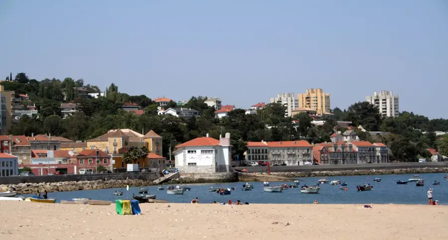
- Nearby: Abrantes (10 km)
Best time to visit & climate
The most pleasant time to visit is Jun, Jul, Sep.
| Jan | Feb | Mar | Apr | May | Jun | Jul | Aug | Sep | Oct | Nov | Dec | |
|---|---|---|---|---|---|---|---|---|---|---|---|---|
| Avg °C | 8 | 9 | 12 | 14 | 18 | 21 | 23 | 24 | 22 | 17 | 11 | 8 |
| Rain mm | 83 | 65 | 77 | 67 | 46 | 20 | 7 | 10 | 35 | 101 | 101 | 78 |
📋 Practical info
Geography
Facts
- The maximum altitude is approximately 610 meters.
- The range is located in the Portalegre district.
- The region is a significant center for cork production.
- Geologically, quartzite and metamorphic schists dominate.
- The historical town of Nisa is located nearby.
- The area belongs to the Tagus River drainage basin.
Explore nearby
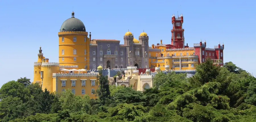
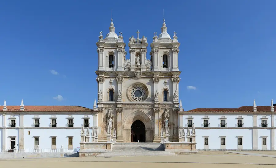
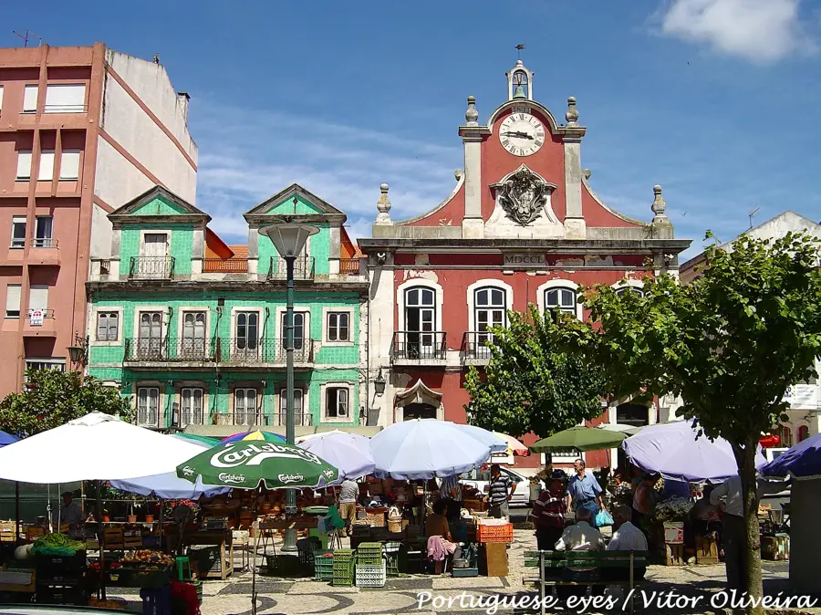
Notable places around
Route planner — Car & Motorhome
Where do you start? We build the route here, with stops and country notes along the way.
© OpenStreetMap contributors · OpenRouteService
Sights in the town Serra de Santana (3)
Sights nearby
Frequently asked questions
Where is Serra de Santana located?
Are there wind farms there?
Can you go hiking there?
What is the vegetation like?
Are the trails difficult?
Serra de Santana: where is it located?
Serra de Santana: what is there to see?
Serra de Santana: when is the best time to visit?
Serra de Santana: why is it worth visiting?

Nearby cities


History & landmarks