Plizio Visual Lab
Mount Pinatubo
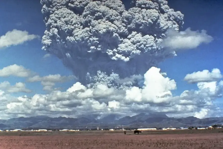
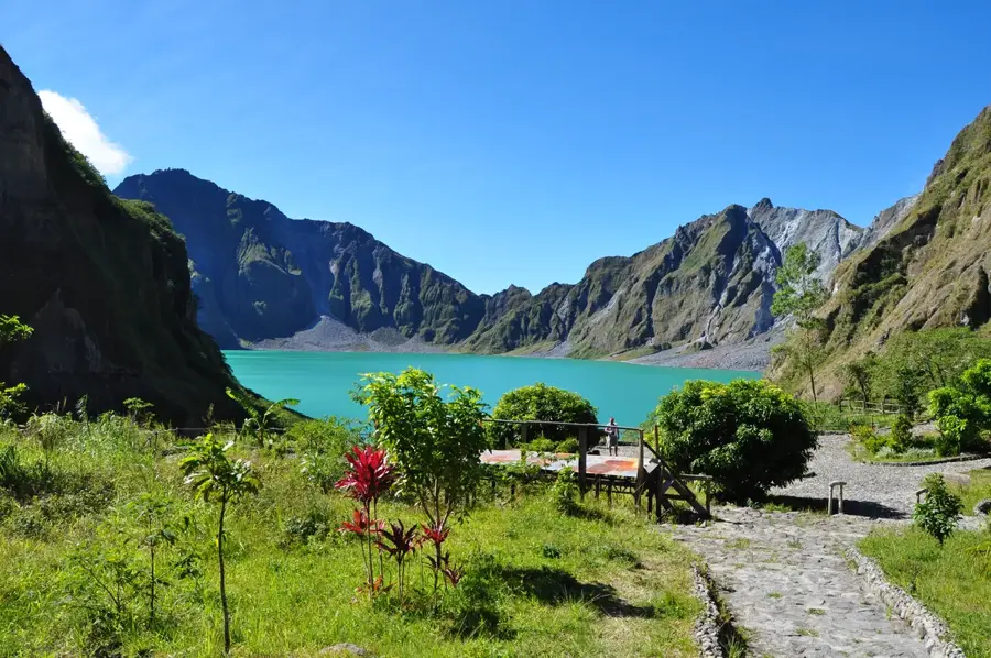
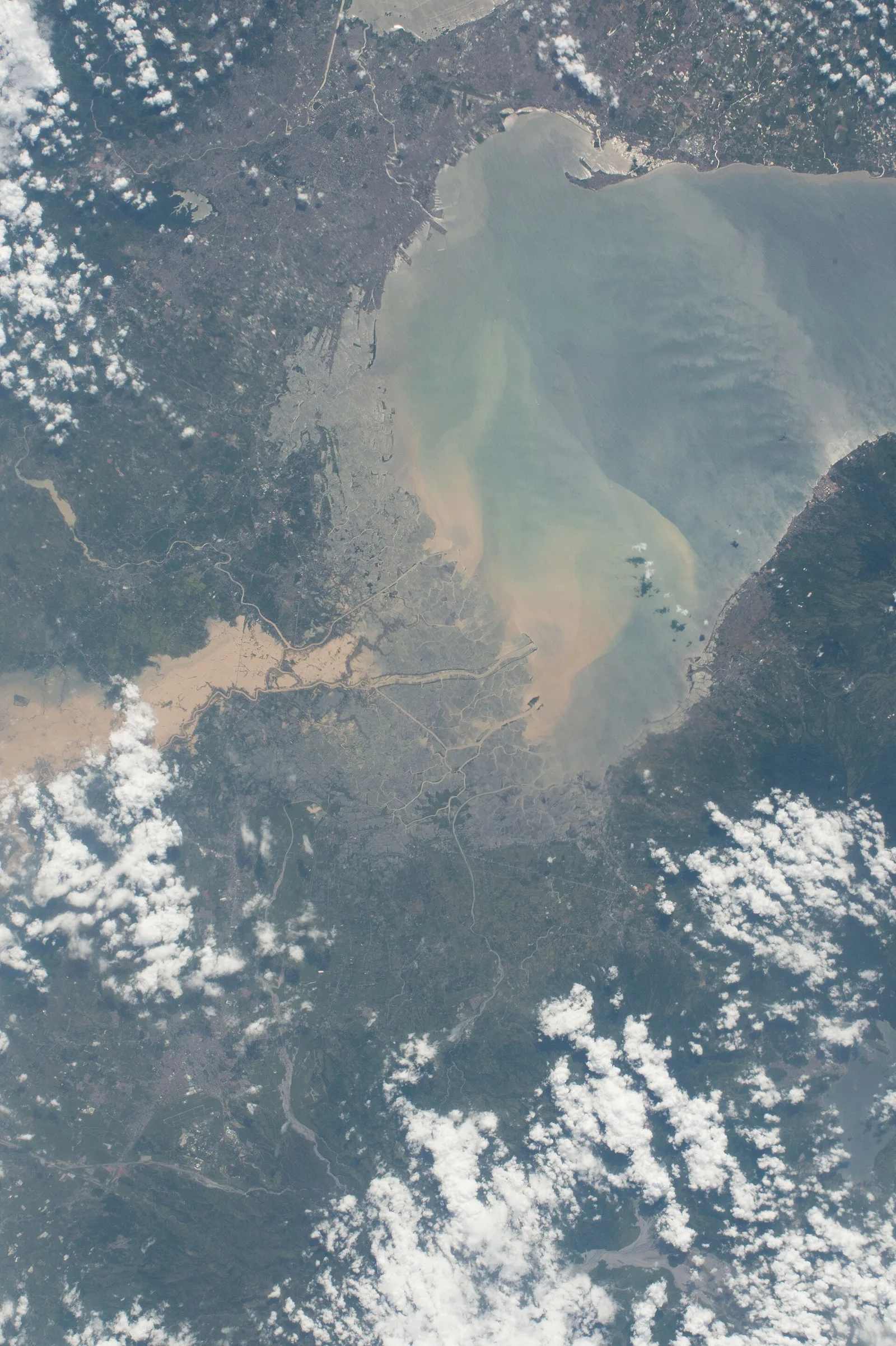
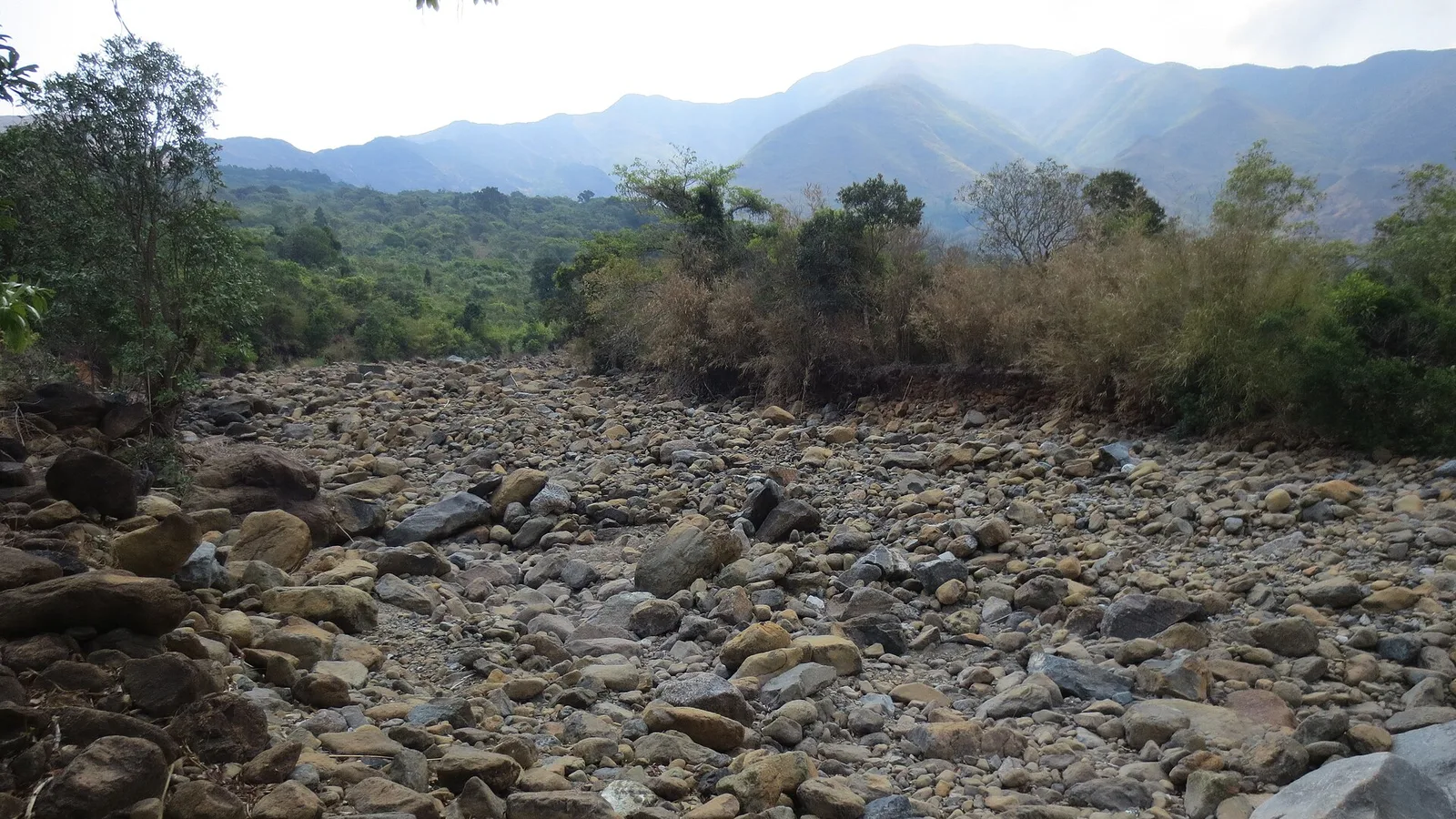
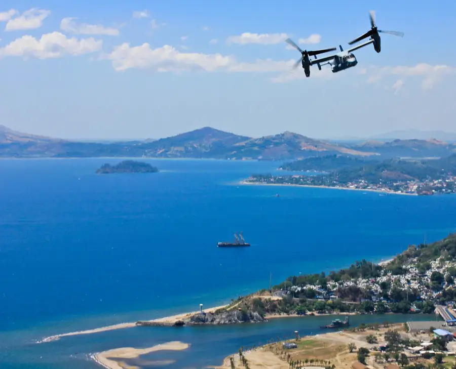
The relief of Mount Pinatubo was fundamentally transformed by the massive eruption of 1991. Before the eruption, the mountain was a forested, inconspicuous lava dome; today it is characterized by a huge, 2.5-kilometer-wide caldera that houses a deep crater lake. The surrounding landscape is marked by enormous deposits of lahar (volcanic mudflow), which have filled deep valleys and permanently altered the courses of rivers. The relief now displays bizarre erosional forms such as sharp-edged sandstone canyons and vast ash fields resembling a lunar landscape. This geomorphological instability still leads to lahar flows during heavy rains. Mount Pinatubo is a textbook example of the radical reshaping of a relief by a single volcanic event of global significance.
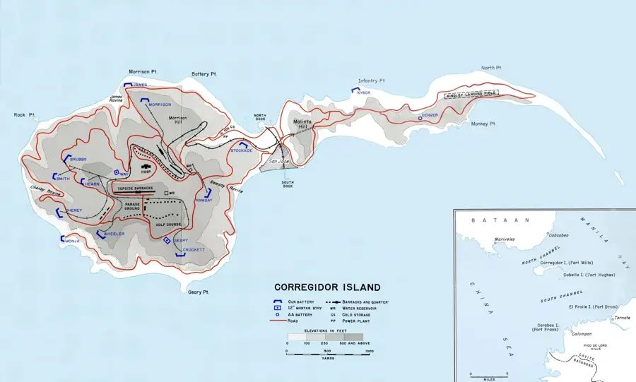
- Location: Philippines
- Top sights: Mount Pinatubo Crater Park · Sapang Uwak Pinatubo Viewpoint · Boulder
- Nearby: Olongapo (19 km)
Best time to visit & climate
The most pleasant time to visit is Jan–Mar.
| Jan | Feb | Mar | Apr | May | Jun | Jul | Aug | Sep | Oct | Nov | Dec | |
|---|---|---|---|---|---|---|---|---|---|---|---|---|
| Avg °C | 24 | 26 | 27 | 29 | 29 | 27 | 27 | 26 | 26 | 26 | 25 | 25 |
| Rain mm | 28 | 30 | 32 | 48 | 198 | 395 | 522 | 608 | 433 | 236 | 123 | 91 |
📋 Practical info
Geography
Facts
- The 1991 eruption lowered global temperatures by about 0.5°C (0.9°F).
- The ash cloud reached an altitude of 35 kilometers (22 miles).
- Before 1991, the volcano was considered dormant.
- Lahars (volcanic mudflows) after the eruption caused more destruction than the eruption itself.
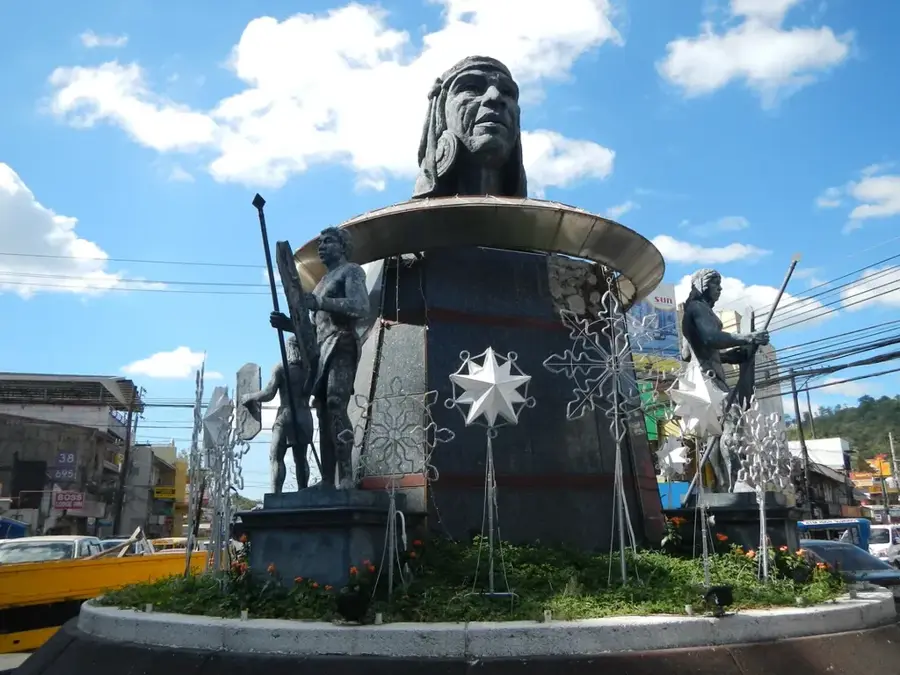
- The Aeta indigenous people lived on the slopes of the volcano.
- The crater lake only formed after the 1991 eruption.
- Trekking to the crater lake is now a popular tourist activity.
Explore nearby
Notable places around
Route planner — Car & Motorhome
Where do you start? We build the route here, with stops and country notes along the way.
© OpenStreetMap contributors · OpenRouteService
Sights in the town Mount Pinatubo (3)
Sights nearby
Frequently asked questions
When is the best time to visit?
Is the climb hard?
What is the destination?
Do I need a guide?
How do I get there?
Mount Pinatubo: where is it located?
Mount Pinatubo: what is there to see?
Mount Pinatubo: when is the best time to visit?
Mount Pinatubo: why is it worth visiting?

Nearby cities


Nature
More places