Plizio Visual Lab
Corregidor Island
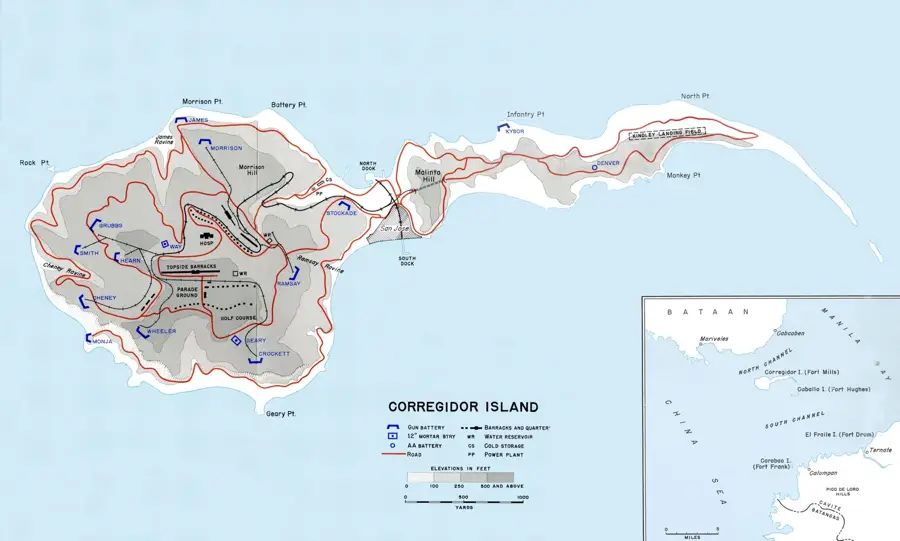
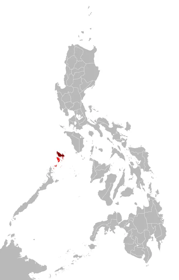
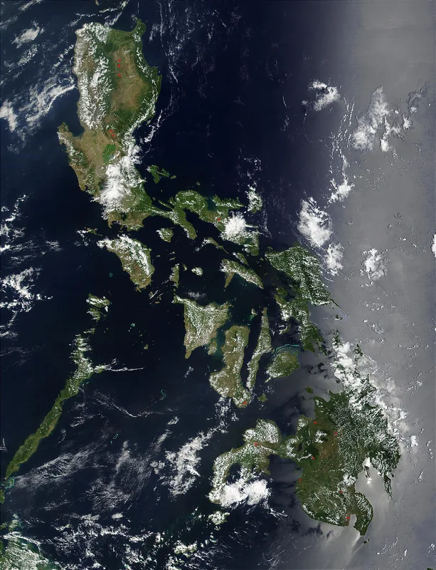
Corregidor Island, strategically located at the mouth of Manila Bay, is a hallowed ground that stands as a memorial to the courage of Filipino and American soldiers during World War II. Known as 'The Rock,' it served as a formidable coastal fortress and the headquarters of the Allied forces under General Douglas MacArthur. Its fall to the Japanese in 1942 after a heroic last stand was a pivotal moment in the Pacific War. Today, the island is a national shrine where visitors can explore the ruins of barracks, the impressive gun batteries like Battery Way, and the historic Malinta Tunnel, which served as a bomb-proof shelter and hospital. Corregidor is a poignant symbol of sacrifice for freedom.
- Location: Philippines
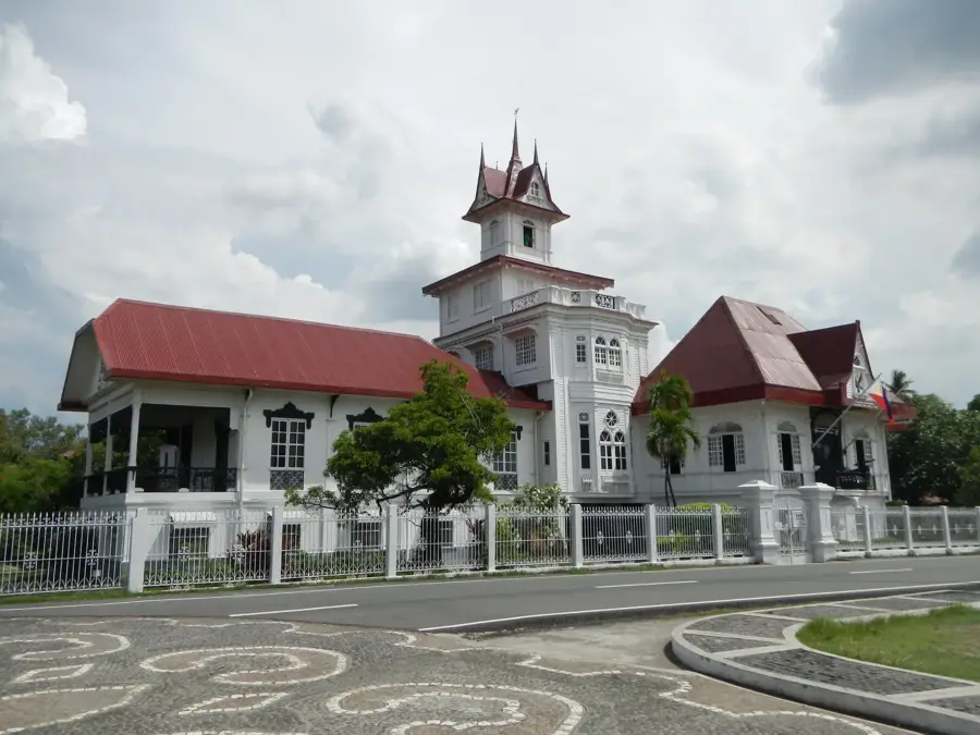
- Top sights: Old Spanish Lighthouse · Cine Corregidor · Gorda Peak
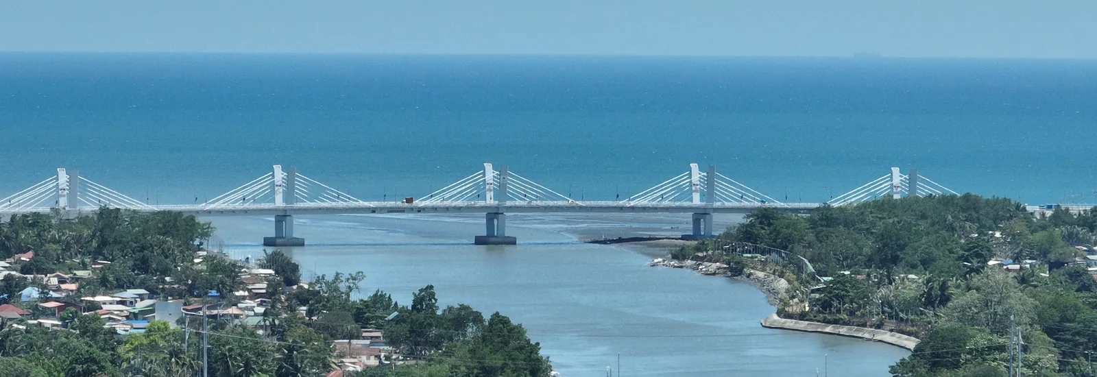
- Nearby: Patungan (10 km)
Best time to visit & climate
The most pleasant time to visit is Jan–Mar.
| Jan | Feb | Mar | Apr | May | Jun | Jul | Aug | Sep | Oct | Nov | Dec | |
|---|---|---|---|---|---|---|---|---|---|---|---|---|
| Avg °C | 26 | 26 | 28 | 29 | 29 | 28 | 27 | 27 | 27 | 27 | 27 | 26 |
| Rain mm | 31 | 33 | 33 | 41 | 180 | 381 | 467 | 539 | 426 | 232 | 137 | 111 |
📋 Practical info
Geography
Facts
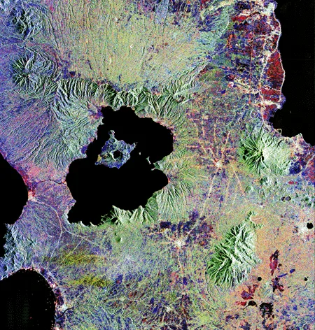
- The island is tadpole-shaped and covers about 5 square kilometers.
- The Malinta Tunnel served as a hospital, ammunition depot, and government headquarters.
- Battery Way is famous for its enormous mortars that still exist today.
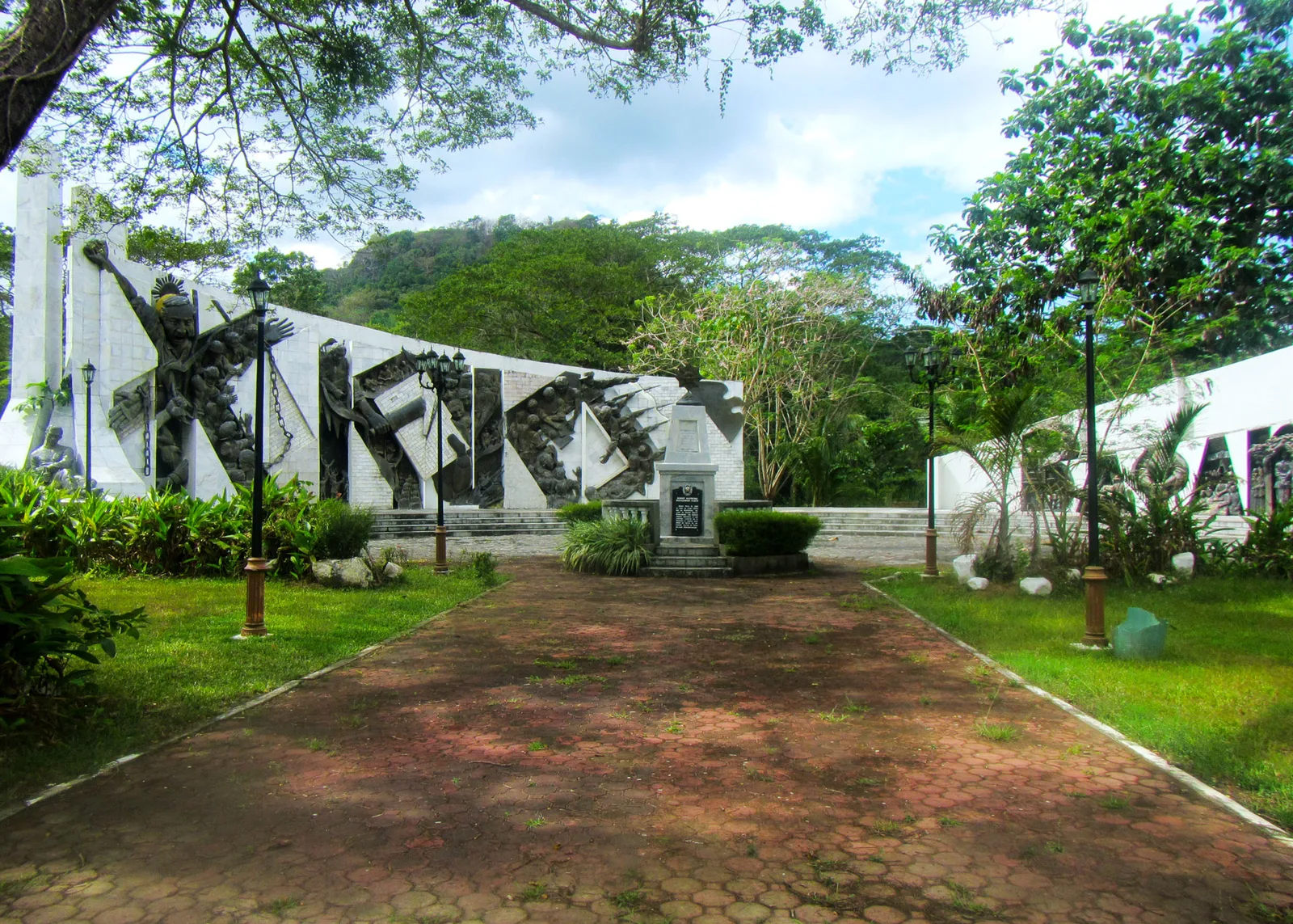
- The Pacific War Memorial includes a unique dome dedicated to peace.
- General MacArthur uttered his famous promise here: 'I shall return'.
- The island was liberated by American airborne troops in 1945.
- The Spanish lighthouse on the island offers a panoramic view of the bay.
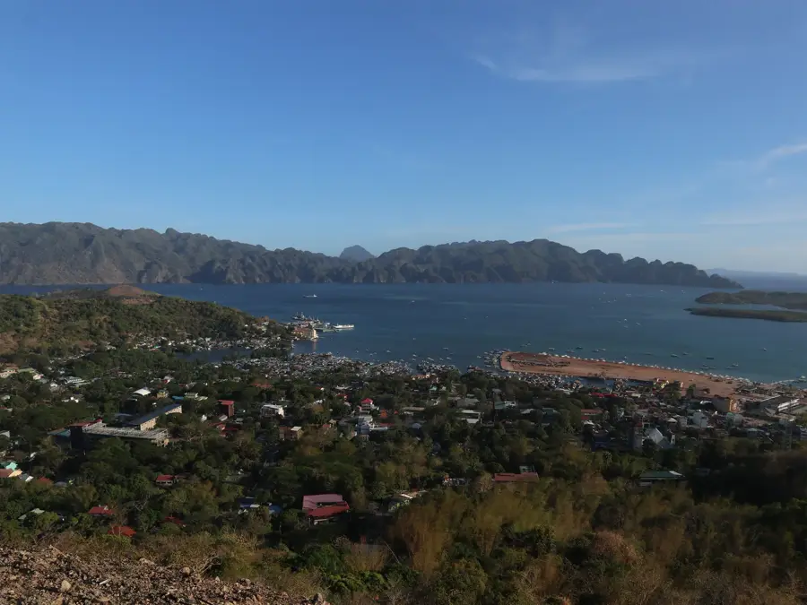
Explore nearby
Notable places around
Route planner — Car & Motorhome
Where do you start? We build the route here, with stops and country notes along the way.
© OpenStreetMap contributors · OpenRouteService
Sights in the town Corregidor Island (10)
Sights nearby
Frequently asked questions
How to get to Corregidor Island?
How is the weather on the island?
How much is the entrance fee?
Is the island suitable for children?
Is there food available?
Corregidor Island: where is it located?
Corregidor Island: what is there to see?
Corregidor Island: when is the best time to visit?
Corregidor Island: why is it worth visiting?

Nearby cities