Plizio Visual Lab
Mount Pinatubo
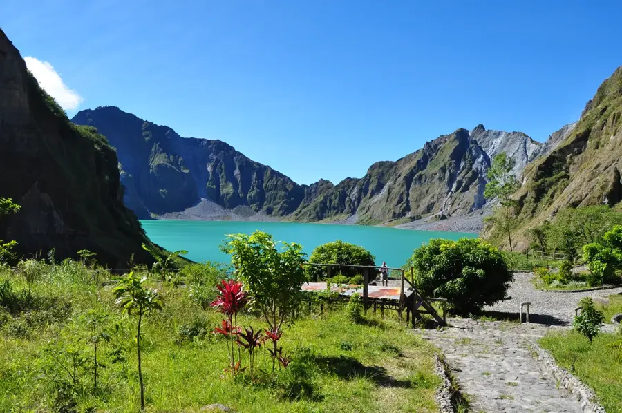
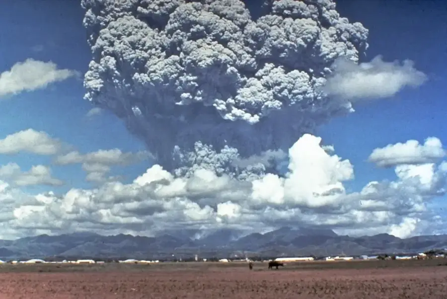
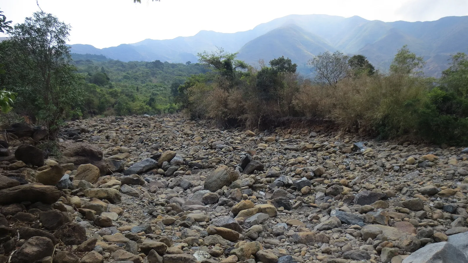
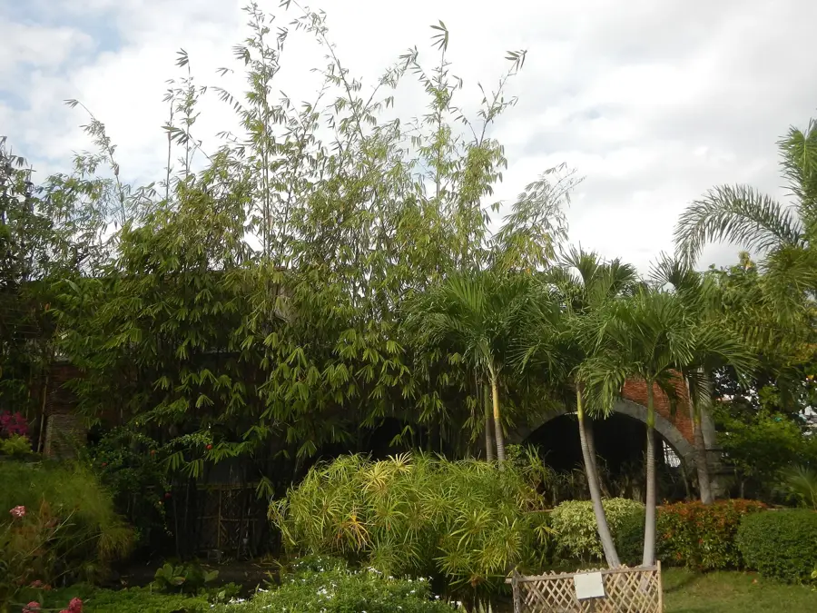
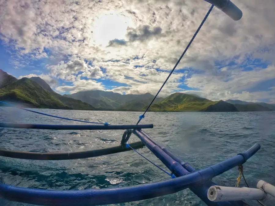
Mount Pinatubo is an active stratovolcano on the island of Luzon, famous for its catastrophic eruption on June 15, 1991. This event was the second-largest terrestrial eruption of the 20th century, ejecting such vast quantities of ash and sulfur dioxide into the atmosphere that global temperatures temporarily dropped by approximately 0.5 degrees Celsius. The eruption caused the summit to collapse, forming a 2.5-kilometer-wide caldera that eventually filled with rainwater to become Lake Pinatubo. Prior to 1991, the volcano was heavily forested and largely considered dormant, serving as the ancestral home of the indigenous Aeta people. Today, the stark, lunar-like landscape created by lahar deposits attracts hikers and off-road enthusiasts. The trek to the crater rim reveals a memorable turquoise lake whose color shifts depending on the season and chemical balance. Volcanologists maintain strict surveillance of the site due to the ongoing threat of lahars (mudflows) during the rainy season and its potential for future activity.
- Location: Philippines
- Top sights: Mount Pinatubo View Deck · Mount Negron · Mount Pinatubo Viewpoint
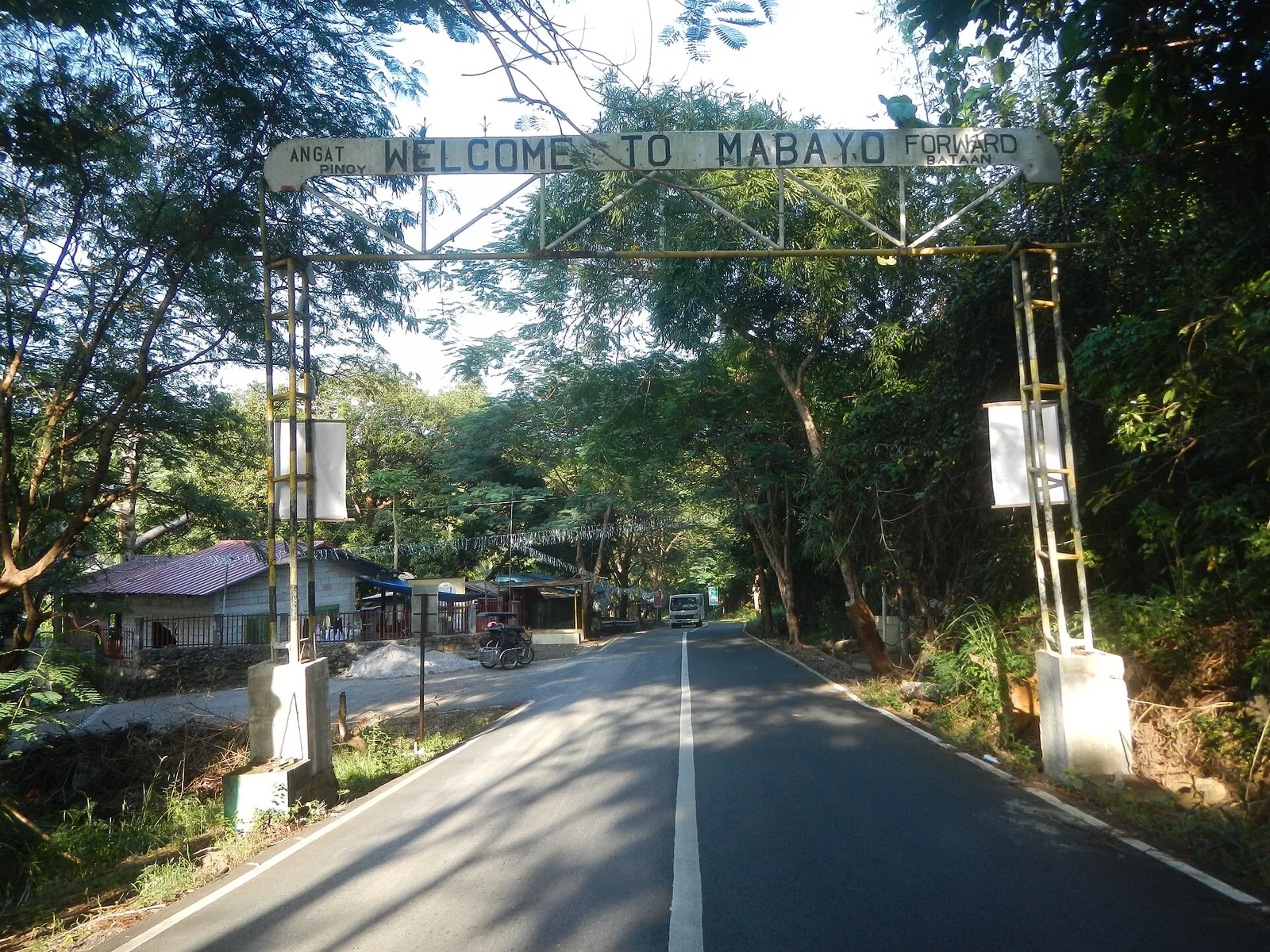
- Nearby: Olongapo (18 km)
Best time to visit & climate
The most pleasant time to visit is Jan–Mar.
| Jan | Feb | Mar | Apr | May | Jun | Jul | Aug | Sep | Oct | Nov | Dec | |
|---|---|---|---|---|---|---|---|---|---|---|---|---|
| Avg °C | 24 | 26 | 27 | 29 | 29 | 27 | 27 | 26 | 26 | 26 | 25 | 25 |
| Rain mm | 28 | 30 | 32 | 48 | 198 | 395 | 522 | 608 | 433 | 236 | 123 | 91 |
📋 Practical info
Geography
Facts
- The 1991 eruption was ten times more powerful than Mount St. Helens.
- The summit's elevation dropped from 1,745 meters to 1,486 meters.
- Roughly 20 million tons of sulfur dioxide were injected into the stratosphere.
- The caldera lake is approximately 600 meters deep at its lowest point.
- The eruption affected over 2.1 million people in the surrounding regions.
- Located at the boundaries of Zambales, Tarlac, and Pampanga provinces.
Explore nearby
Notable places around
Route planner — Car & Motorhome
Where do you start? We build the route here, with stops and country notes along the way.
© OpenStreetMap contributors · OpenRouteService
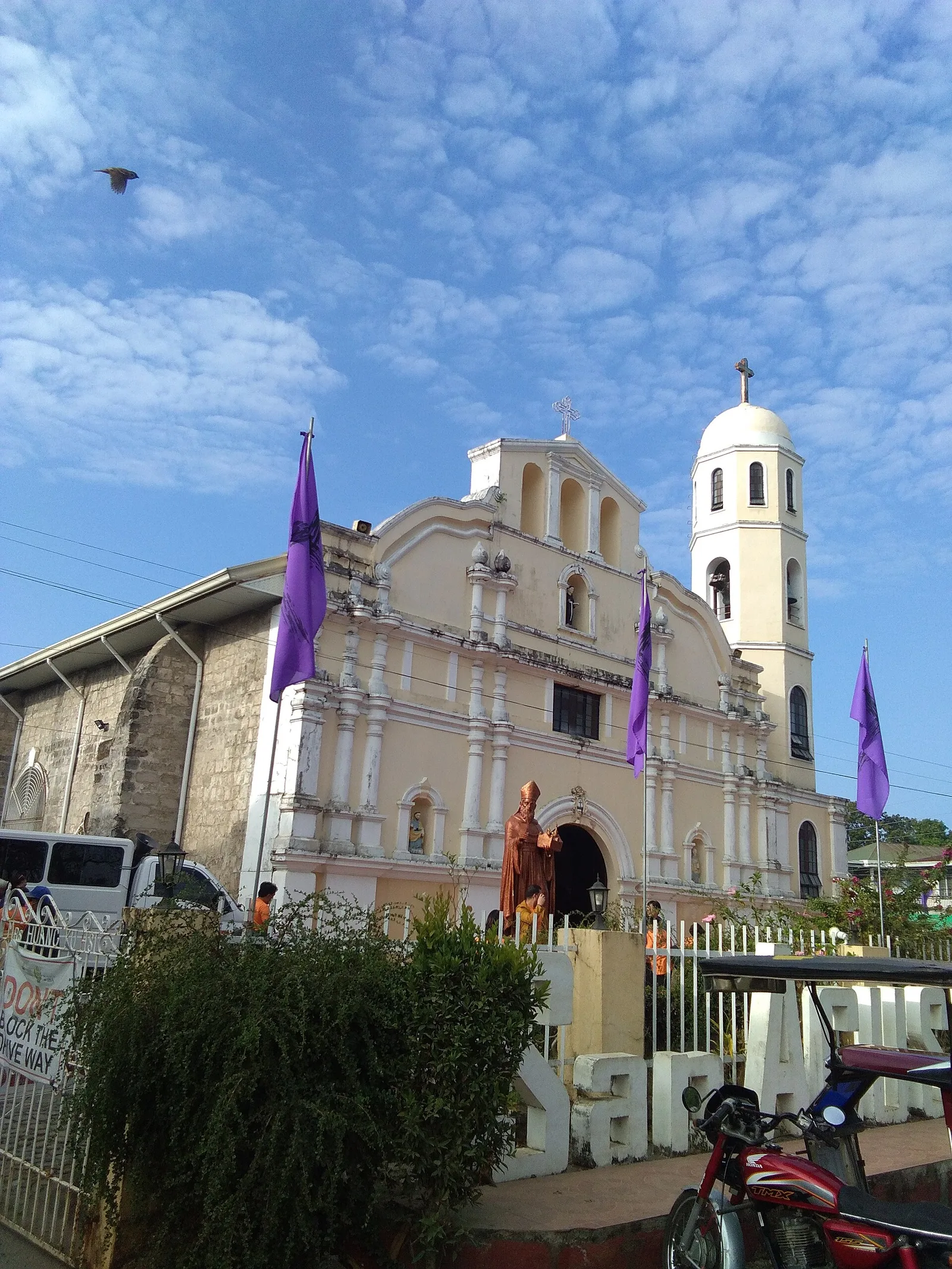
Sights in the town Mount Pinatubo (3)
Sights nearby
Frequently asked questions
How was the crater lake formed?
Is a guided tour mandatory?
How strenuous is the hike?
How to get to the trailhead?
Is swimming prohibited in the crater lake?
Mount Pinatubo: where is it located?
Mount Pinatubo: what is there to see?
Mount Pinatubo: when is the best time to visit?
Mount Pinatubo: why is it worth visiting?

Nearby cities


Nature
More places