Plizio Visual Lab
Katueté
ℹ️Practical info — Katueté
▾
🌤 Weather — 5 days
📍 Nearby
Sights nearby
💡 Tips
- Expect to see plenty of tractors and agricultural machinery on the roads in this farming town.
- Portuguese is spoken just as often as Spanish here due to the strong Brazilian influence.
- Renting a car is the best way to explore the vast surrounding soy and wheat fields.
- On hot days, drink Tereré, the cold national beverage of Paraguay, just like the locals do.
🍽 Food
Try the Brazilian-style BBQ at local steakhouses, reflecting the Brasiguayo culture.
A traditional cheese and cassava bread, great for a snack or quick breakfast at local bakeries.
A savory cake made of corn flour and cheese, often served as a side dish to grilled meats.
🛍 Shopping · 🧘 Quiet spots
Great for buying local honey, cheese, and regional agricultural products.
They offer an interesting mix of Paraguayan and imported Brazilian goods.
A relaxed spot to sit in the evening and watch the town's slow-paced life.
Take a drive just outside the town to see the vast, quiet expanses of green fields.
Water temperature…
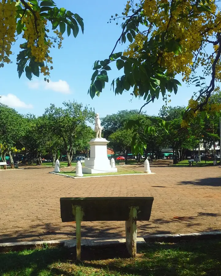
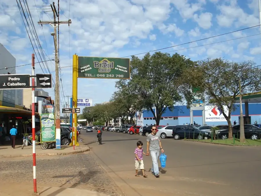
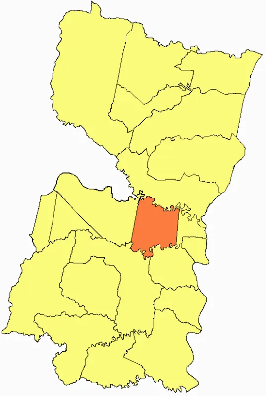
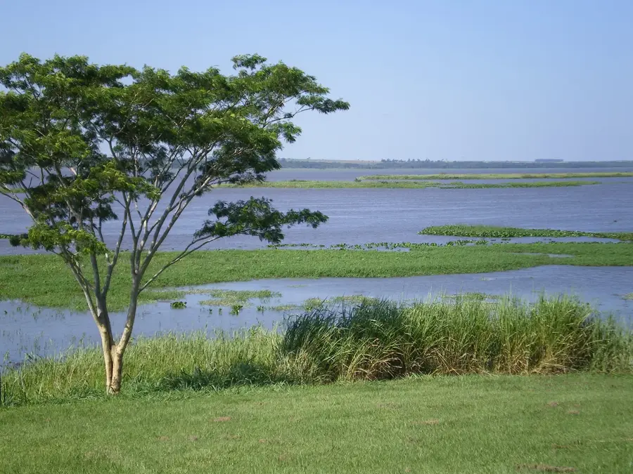
Katueté, a town in the Canindeyú Department of north-eastern Paraguay, lies about 380 kilometres east of Asunción along Route 10 in a fertile agricultural region dominated by soybean farming and close to the Brazilian border. It was recognised as an independent municipality in 1980 and developed rapidly thanks to the state colonisation policy that directed Brazilian immigrants into the former Atlantic Forest area. The name comes from Guaraní and means best choice or chosen place. With around 30 000 inhabitants, a large share of whom speak Portuguese, Katueté is a typical Brasiguayo centre with a pronounced Brazilian culture. Economically the town relies on soybean, maize and wheat farming, cattle ranching, forestry and soybean processing, the region is one of the most productive soybean zones in Paraguay. Several large cooperatives and soybean mills operate here. Notable sights include the modern parish church, the Mercado Municipal and the vast surrounding soybean fields.
- Location: Paraguay
- Nearby: San Alberto (49 km)
- Population: ~4.070 (2020)
Best time to visit & climate
The most pleasant time to visit is Jul–Sep.
| Jan | Feb | Mar | Apr | May | Jun | Jul | Aug | Sep | Oct | Nov | Dec | |
|---|---|---|---|---|---|---|---|---|---|---|---|---|
| Avg °C | 26 | 26 | 26 | 23 | 19 | 18 | 17 | 19 | 21 | 24 | 25 | 26 |
| Rain mm | 135 | 143 | 110 | 123 | 140 | 83 | 60 | 63 | 96 | 176 | 178 | 183 |
Geography
Facts
- The settlement was established in 1971.
- It attained the status of an independent municipality on May 24, 1994.
- Located approximately 362 kilometers northeast of the capital, Asunción.
- The city sits at an average elevation of 335 meters above sea level.
- Major commercial hub for agricultural products in eastern Paraguay.
- The climate is subtropical, characterized by high rainfall during summer months.
Explore nearby
Notable places around
Route planner — Car & Motorhome
Where do you start? We build the route here, with stops and country notes along the way.
© OpenStreetMap contributors · OpenRouteService
Frequently asked questions
How long should I stay here?
When is the best travel time?
What is special here?
Is it family-friendly?
Where can one eat well?
Katueté: where is it located?
Katueté: when is the best time to visit?
Katueté: why is it worth visiting?

Nearby cities