Plizio Visual Lab
Silat ad-Dhahr
ℹ️Practical info — Silat ad-Dhahr
▾
🌤 Weather — 5 days
📍 Nearby
Sights nearby
💡 Tips
- Spring is the best time to visit when the region's extensive almond orchards are in full bloom.
- Plan your travel outside of rush hours, as the main road connecting Jenin and Nablus can get heavily congested.
- Respect the conservative rural culture by dressing modestly while walking through the village.
- Utilize the shared taxis (servees) that pass through the main road for cheap transit to neighboring towns.
🍽 Food
A seasonal spring snack sold directly by street vendors throughout the village.
An upside-down rice dish with meat and vegetables. Ask for it at traditional local eateries.
Freshly fried and crispy, best grabbed from the small food stands lining the main road.
🛍 Shopping · 🧘 Quiet spots
Buy fresh figs and almonds from the small roadside stalls along the route toward Nablus.
Small greengrocers in the village center offer excellent, locally grown vegetables and herbs.
Take a peaceful stroll through the orchards that encircle the village, especially spirited in spring.
Find a higher elevation point for a vast, undisturbed view over the Jenin-Nablus valley.
Water temperature…
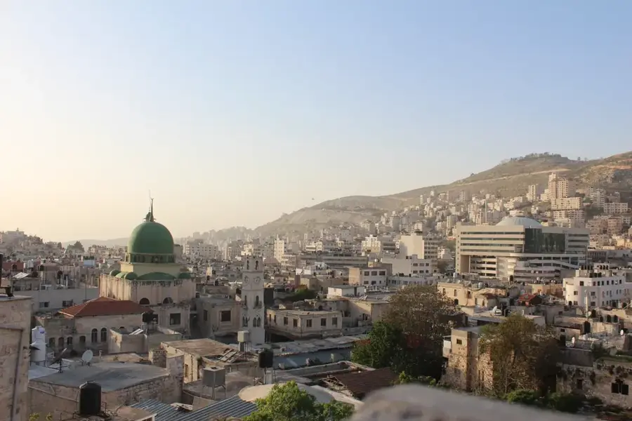
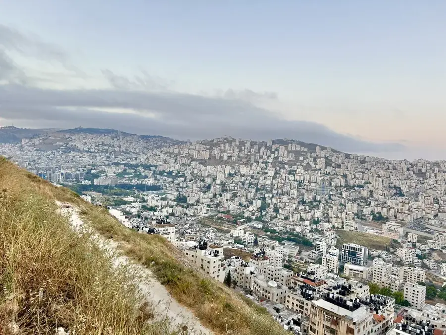
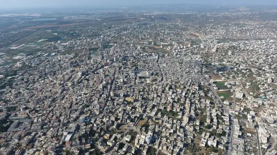
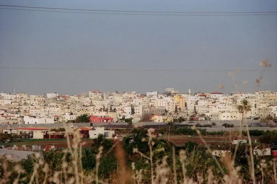
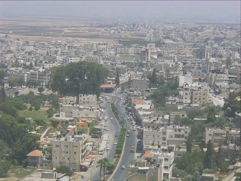
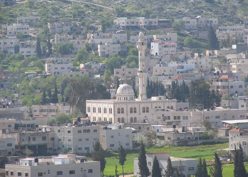
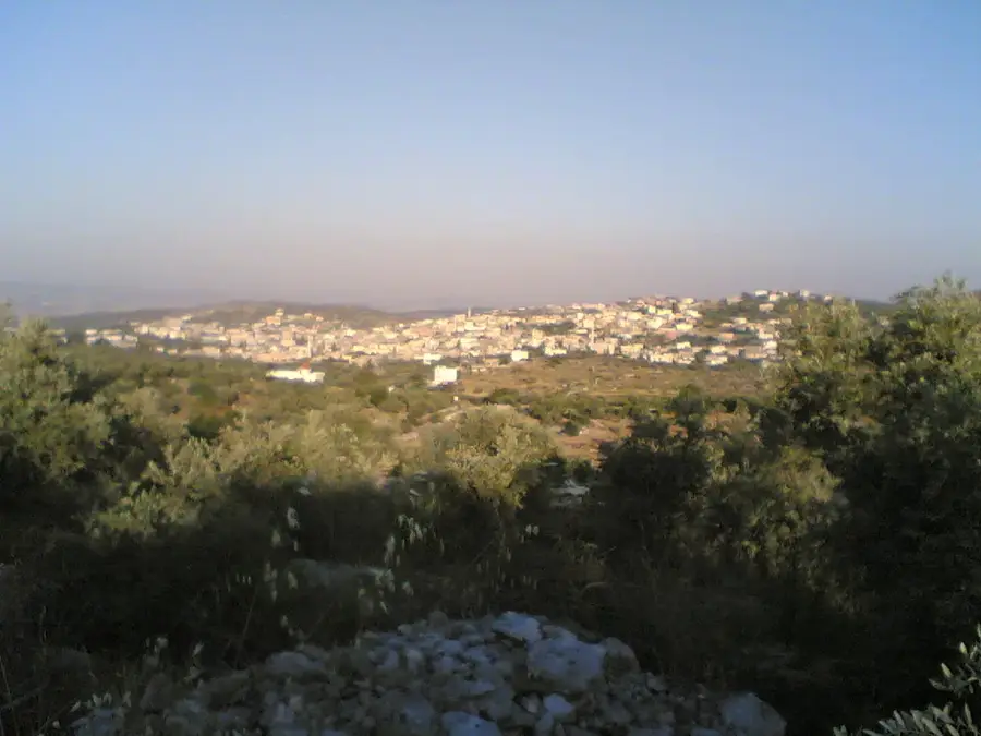
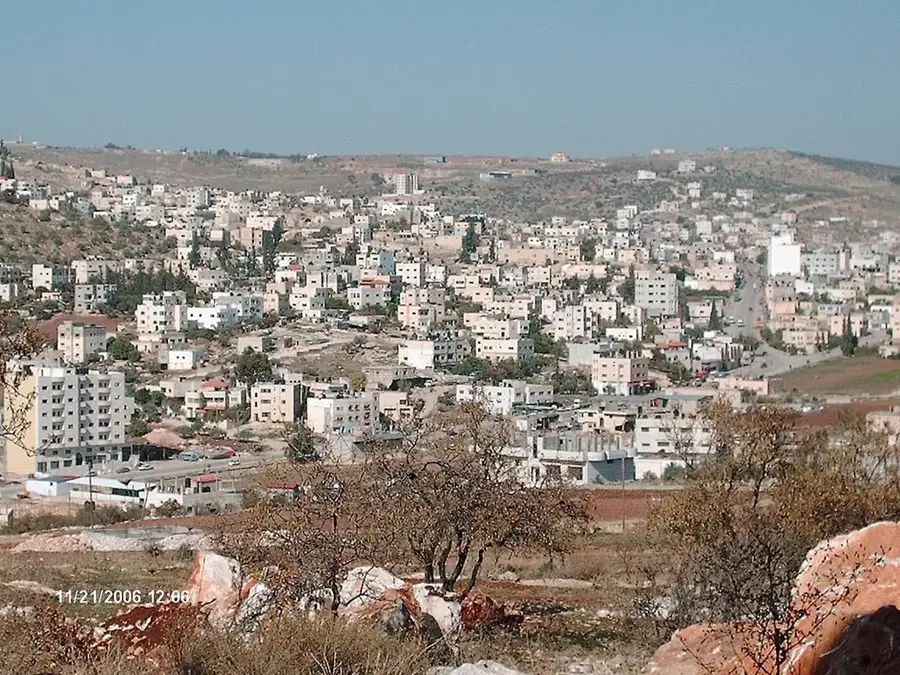
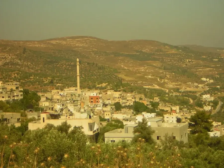
Silat ad-Dhahr is a historically significant town in the northern West Bank, strategically positioned halfway between the major hubs of Jenin and Nablus. Perched at an elevation of roughly 400 meters above sea level, it commands sweeping views of the surrounding hilly landscape and the Mediterranean coastal plain in the distance. The town’s identity is inextricably linked to its agricultural heritage, specifically its vast groves of ancient olive trees and almond orchards. The olive oil produced here is highly prized across the region for its exceptional quality and traditional extraction methods. Beyond its agricultural fame, Silat ad-Dhahr is home to a rich history, with archaeological remains in the vicinity pointing to settlements dating back to the Roman, Byzantine, and Ottoman periods. The old core of the town features traditional stone architecture that reflects its cultural continuity. For visitors, the spring season is particularly captivating as the almond blossoms transform the valleys into a sea of white and pink, marking a time of natural renewal in this rural heartland.
- Location: Palestinian Territories
- Nearby: Arraba (8 km)
- Population: ~8.391 (2023)
Best time to visit & climate
The most pleasant time to visit is May, Jun, Oct.
| Jan | Feb | Mar | Apr | May | Jun | Jul | Aug | Sep | Oct | Nov | Dec | |
|---|---|---|---|---|---|---|---|---|---|---|---|---|
| Avg °C | 13 | 13 | 15 | 18 | 22 | 25 | 27 | 27 | 26 | 24 | 19 | 15 |
| Rain mm | 118 | 88 | 47 | 23 | 7 | 1 | 1 | 1 | 2 | 18 | 57 | 104 |
Geography
Facts
- Silat ad-Dhahr sits at an elevation of approximately 400 meters.
- The town has a population of around 7,000 residents.
- It is located about 22 kilometers southwest of the city of Jenin.
- The Haifa-Deraa railway line used to pass near the town.
- The name refers to its location on the 'back' or ridge of the mountain.
- The town is home to several primary and secondary educational institutions.
Explore nearby
Notable places around
Route planner — Car & Motorhome
Where do you start? We build the route here, with stops and country notes along the way.
© OpenStreetMap contributors · OpenRouteService
Frequently asked questions
What is the best season to visit Silat ad-Dhahr?
How much time should I allocate for a visit?
Is the town suitable for visiting with children?
What are the local specialties?
How is the public transport connection?
Silat ad-Dhahr: where is it located?
Silat ad-Dhahr: when is the best time to visit?
Silat ad-Dhahr: why is it worth visiting?

Nearby cities