Plizio Visual Lab
Marj Sanur
Weather…
Water temperature…
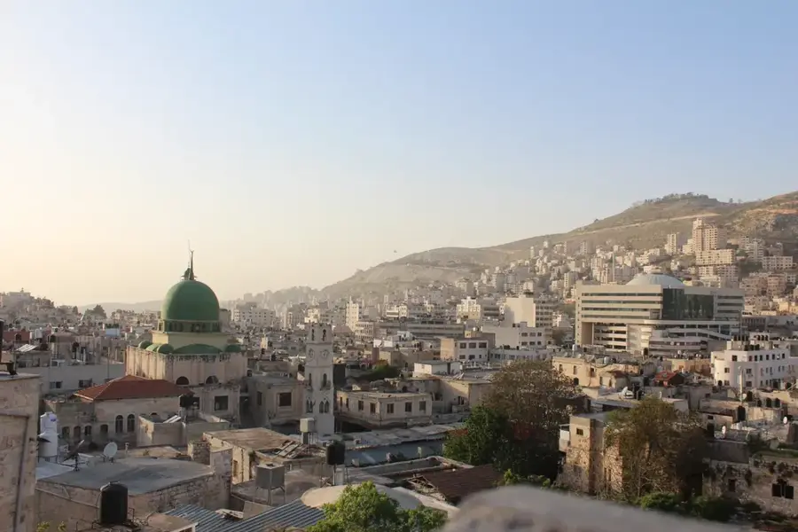
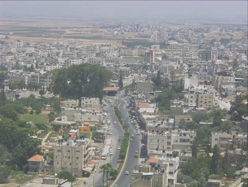
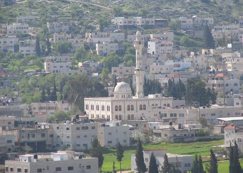
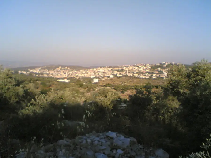
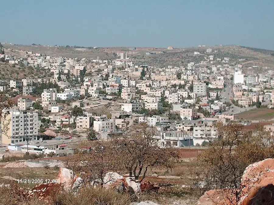
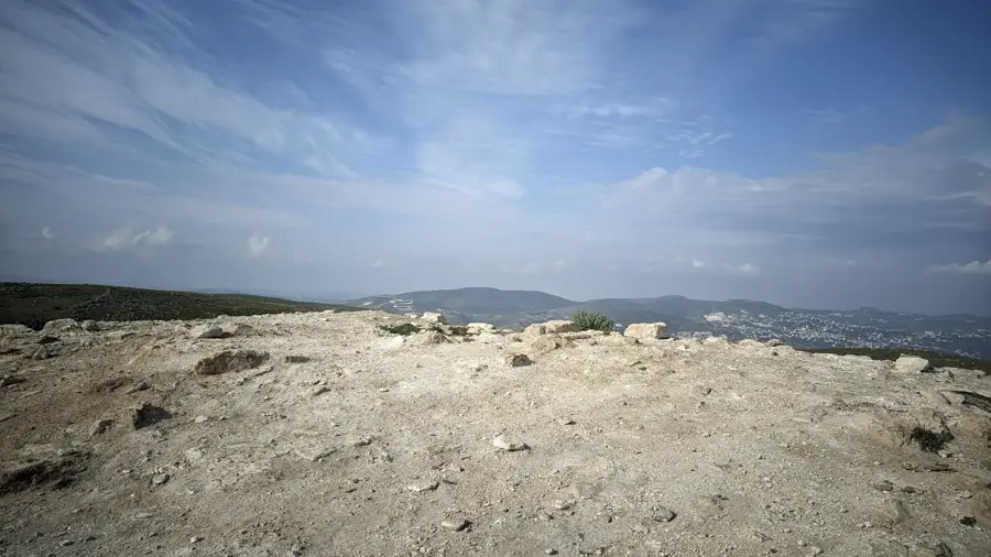
Marj Sanur is a remarkable endorheic basin located in the northern highlands of the West Bank, positioned between Nablus and Jenin. This closed depression lacks a natural outlet for water, leading to the formation of a seasonal lake during rainy winters. Often referred to by locals as the 'Hidden Lake,' this phenomenon transforms the 16-square-kilometer valley into a striking water mirror that can persist for several months. As the water recedes in the spring, it leaves behind a layer of highly fertile alluvial soil, making Marj Sanur one of the most productive agricultural zones in the Palestinian territories. Farmers utilize this land to cultivate wheat, pulses, and vegetables, sustaining the surrounding rural communities. The temporary wetland also serves as a vital stopover for numerous migratory bird species traveling along the Great Rift Valley flyway. The historic village of Sanur, featuring an old Ottoman-era citadel, overlooks the basin and provides panoramic views of this seasonally shifting landscape.
- Location: Palestinian Territories
- Top sights: al nuirat · Maqam Hureish · Kheiber Fortress
- Nearby: Silat ad-Dhahr (5 km)
Best time to visit & climate
The most pleasant time to visit is Apr, May, Oct.
| Jan | Feb | Mar | Apr | May | Jun | Jul | Aug | Sep | Oct | Nov | Dec | |
|---|---|---|---|---|---|---|---|---|---|---|---|---|
| Avg °C | 11 | 12 | 15 | 19 | 23 | 27 | 29 | 29 | 27 | 24 | 18 | 13 |
| Rain mm | 93 | 79 | 40 | 20 | 6 | 1 | 0 | 1 | 2 | 12 | 40 | 79 |
📋 Practical info
Geography
Facts
- The plain covers an area of about 20 square kilometers
- The seasonal lake can reach a depth of 2 meters
- There is no natural surface outlet for the water
- The basin is situated at an elevation of 350 meters
- The village of Sanur gives the plain its name
- Water slowly infiltrates the ground during the spring
Explore nearby
Notable places around
Route planner — Car & Motorhome
Where do you start? We build the route here, with stops and country notes along the way.
© OpenStreetMap contributors · OpenRouteService
Sights in the town Marj Sanur (6)
Sights nearby
Frequently asked questions
What is Marj Sanur?
When does the lake form?
Can one observe birds there?
Is the place accessible all year round?
Is binoculars needed?
Marj Sanur: where is it located?
Marj Sanur: what is there to see?
Marj Sanur: when is the best time to visit?
Marj Sanur: why is it worth visiting?

Nearby cities