Plizio Visual Lab
Khan al-Lubban
Weather…
Water temperature…
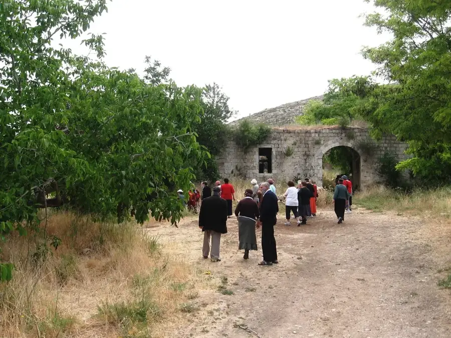
Khan al-Lubban is a historic Ottoman caravanserai situated along the ancient route connecting Jerusalem and Nablus. Named after the nearby village of Lubban ash-Sharqiya, this structure was built in the 16th century to serve as a vital rest stop and secure fortress for merchants, pilgrims, and their livestock. Its location in a fertile valley was strategically chosen as it sat on the primary north-south axis of travel through the Palestinian highlands. The architecture is characteristic of Ottoman-era hans, featuring thick stone walls, massive pillars, and elegant cross-vaulted ceilings. The complex was designed with a large central courtyard, with the ground floor primarily used for stabling animals and storing trade goods, while the upper sections provided quarters for travelers. Beyond its hospitality function, the khan played a key role in maintaining security along the trade routes of the Levant. Today, it remains a significant architectural monument, reflecting the sophisticated logistics and commercial networks that once thrived under the Ottoman administration.
- Location: Palestinian Territories
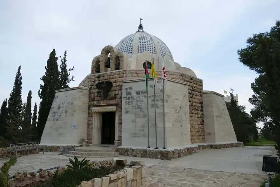
- Top sights: Aqaba peak · Sheikh Zayed · Horvat Eli
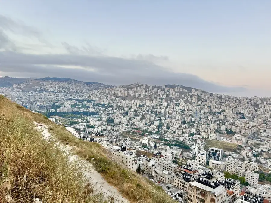
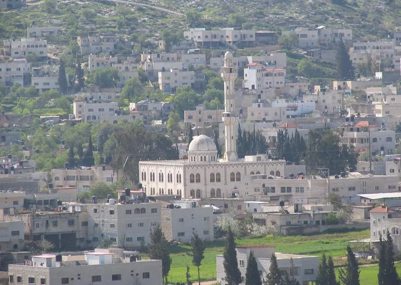
- Nearby: Turmus Ayya (5 km)
Best time to visit & climate
The most pleasant time to visit is May, Jun, Oct.
| Jan | Feb | Mar | Apr | May | Jun | Jul | Aug | Sep | Oct | Nov | Dec | |
|---|---|---|---|---|---|---|---|---|---|---|---|---|
| Avg °C | 11 | 12 | 15 | 18 | 22 | 25 | 27 | 27 | 26 | 23 | 18 | 14 |
| Rain mm | 88 | 62 | 37 | 21 | 5 | 1 | 1 | 0 | 2 | 14 | 46 | 83 |
📋 Practical info
Geography
Facts
- The Khan was constructed in the 16th century during the reign of Suleiman the Magnificent.
- The name 'Lubban' refers to the frankincense that was once traded in the region.
- The building measures approximately 40 meters in length and 35 meters in width.
- It features a massive gatehouse that was secured at night for safety.
- Remains of an ancient irrigation channel can be seen in the immediate vicinity.
- The Khan was part of a network of inns spaced a day's journey apart.
Explore nearby
Notable places around
Route planner — Car & Motorhome
Where do you start? We build the route here, with stops and country notes along the way.
© OpenStreetMap contributors · OpenRouteService
Sights in the town Khan al-Lubban (7)
Sights nearby
Frequently asked questions
What is Khan al-Lubban?
Is the building open to visitors?
Do I need time for a visit?
What is nearby?
Is entry to the site allowed?
Khan al-Lubban: where is it located?
Khan al-Lubban: what is there to see?
Khan al-Lubban: when is the best time to visit?
Khan al-Lubban: why is it worth visiting?

Nearby cities