Plizio Visual Lab
Mandara Mountains (relief)
Weather…
Water temperature…
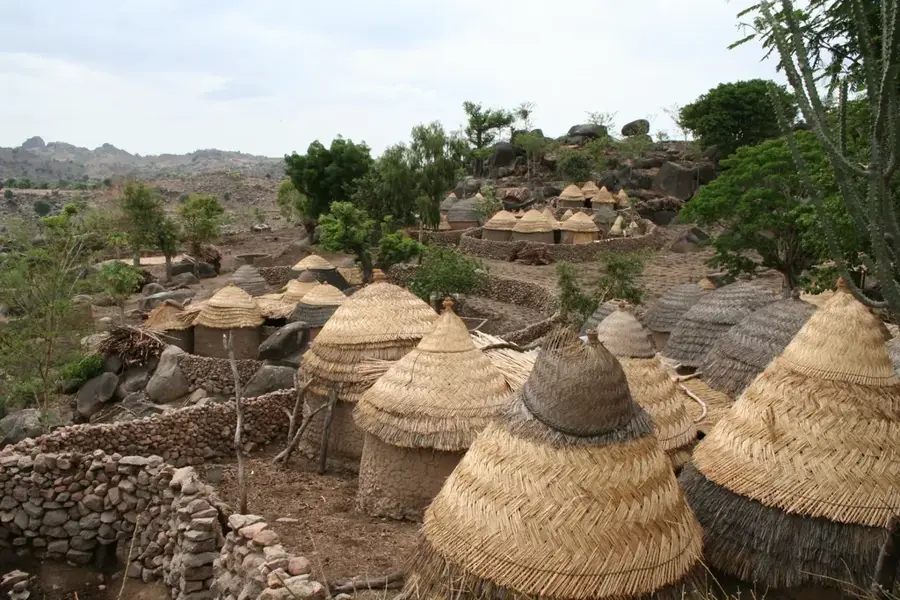
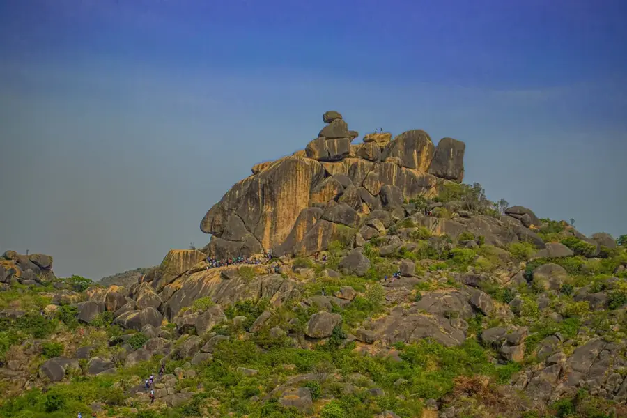
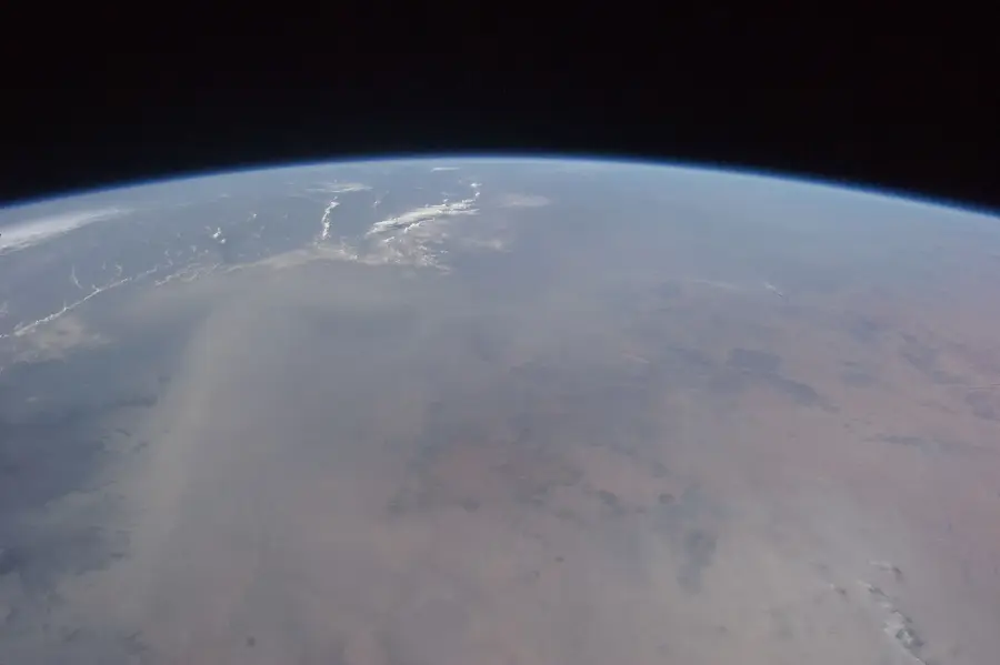
The Mandara Mountains stretch along the northern border between Nigeria and Cameroon, forming an impressive volcanic mountain range. The relief is characterized by rugged rock formations, steep granite peaks, and deeply incised valleys that create a nearly inaccessible landscape. Geologically, the mountains consist of a combination of Precambrian basement complex and Tertiary volcanic rocks, with bizarre rock needles known as inselbergs dominating the view. Despite the harsh conditions, the region is densely populated, as inhabitants have over centuries perfected a sophisticated system of terraced farming to make the steep slopes productive. These terraces not only prevent erosion but also testify to an impressive cultural adaptation to the mountain relief. The Mandara Mountains serve as a natural barrier and have historically provided a sanctuary for various ethnic groups. The climate here is drier than in the southern highlands, but the cool nights provide relief from the intense heat of the surrounding savanna.
- Location: Nigeria
- Nearby: Mubi (69 km)
Best time to visit & climate
The most pleasant time to visit is Jan, Nov, Dec.
| Jan | Feb | Mar | Apr | May | Jun | Jul | Aug | Sep | Oct | Nov | Dec | |
|---|---|---|---|---|---|---|---|---|---|---|---|---|
| Avg °C | 24 | 27 | 30 | 32 | 31 | 29 | 27 | 25 | 26 | 27 | 26 | 24 |
| Rain mm | 0 | 0 | 0 | 15 | 59 | 110 | 186 | 229 | 140 | 35 | 1 | 0 |
📋 Practical info
Geography
Facts
- The highest peak in the Mandara Mountains reaches about 1,494 meters.
- The mountain range extends for approximately 200 kilometers along the border.
- Geologically, the area is famous for its distinctive granite volcanic plugs.
- The terraced farming systems used here are among the most ancient in West Africa.
- The mountains serve as a significant natural and political boundary.
- Archaeological evidence points to human habitation in the mountains for over 2,000 years.
Explore nearby
Notable places around
Route planner — Car & Motorhome
Where do you start? We build the route here, with stops and country notes along the way.
© OpenStreetMap contributors · OpenRouteService
Sights nearby
Frequently asked questions
Are the Mandara Mountains accessible to tourists?
What is special about the landscape?
Are there accommodations there?
Do you need a visa for the region?
How high are the mountains?
Mandara Mountains (relief): where is it located?
Mandara Mountains (relief): when is the best time to visit?
Mandara Mountains (relief): why is it worth visiting?

Nearby cities


More places