Plizio Visual Lab
Adamawa Highlands
Weather…
Water temperature…
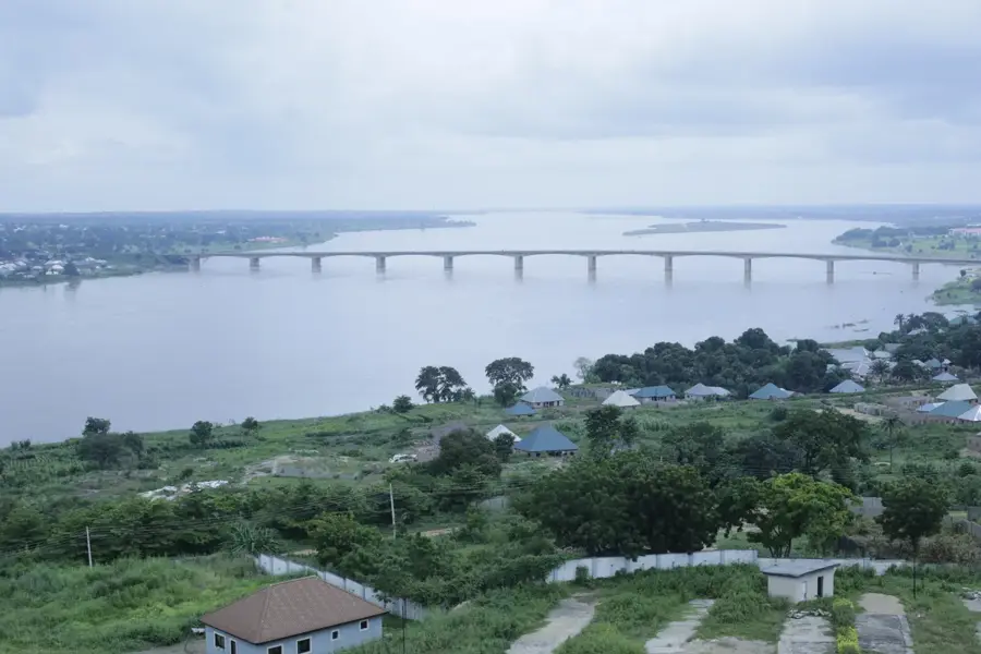
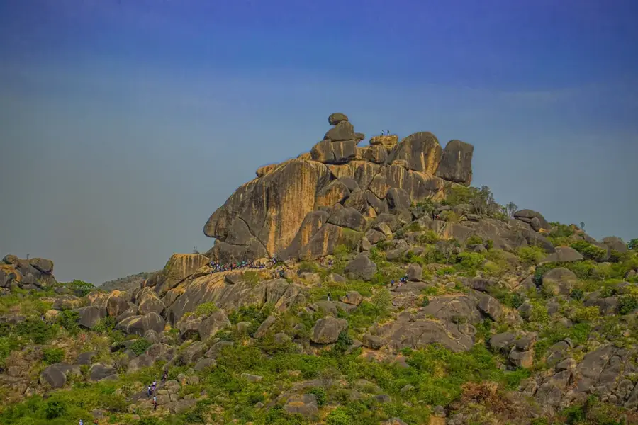
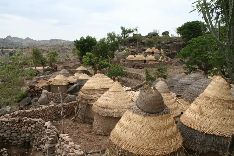
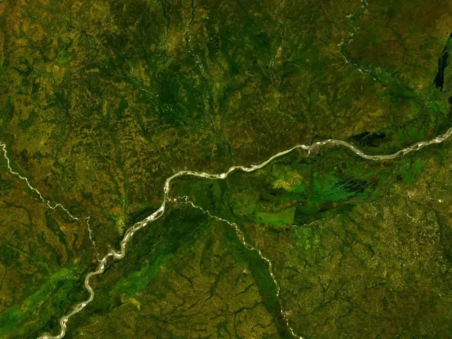
The Adamawa Highlands span the border between Nigeria and Cameroon, forming a prominent mountain range that serves as a vital watershed in Central Africa. This region is the source of several major rivers, including the Benue and the Sanaga, which are crucial for the hydrology of West and Central Africa. The landscape is a diverse mosaic of volcanic peaks, expansive plateaus, and deep valleys, with Chappal Waddi standing as Nigeria's highest point at 2,419 meters. The climate in the highlands is significantly cooler and wetter than the surrounding lowlands, fostering lush vegetation and fertile soils suitable for varied agriculture. Historically, the area is the ancestral home of the Fulani people, who have practiced cattle herding on these high pastures for centuries. These plateaus also function as a strategic corridor for trade and migration, while their montane forests harbor unique biodiversity found nowhere else in the region.
- Location: Nigeria
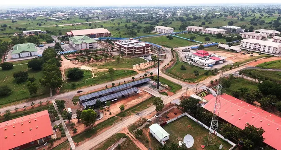
- Nearby: Jimeta (55 km)
Best time to visit & climate
The most pleasant time to visit is Jan, Nov, Dec.
| Jan | Feb | Mar | Apr | May | Jun | Jul | Aug | Sep | Oct | Nov | Dec | |
|---|---|---|---|---|---|---|---|---|---|---|---|---|
| Avg °C | 26 | 29 | 31 | 31 | 29 | 28 | 27 | 26 | 26 | 27 | 27 | 25 |
| Rain mm | 0 | 1 | 4 | 60 | 106 | 124 | 154 | 215 | 173 | 82 | 4 | 0 |
📋 Practical info
Geography
Facts
- Forms a major mountain range across the Nigeria-Cameroon border.
- Chappal Waddi is the highest peak in the region at 2,419 meters.
- Acts as the source for several major rivers, including the Benue.
- Average plateau elevations range from 1,000 to 1,500 meters.
- Geology features ancient crystalline basement rocks and lava flows.
- Traditional grazing lands for the Fulani cattle-herding communities.
Explore nearby
Notable places around
Route planner — Car & Motorhome
Where do you start? We build the route here, with stops and country notes along the way.
© OpenStreetMap contributors · OpenRouteService
Sights nearby
Frequently asked questions
What is the Adamawa Plateau?
Is it suitable for hiking?
Are there accommodations there?
Is it safe?
When should you travel?
Adamawa Highlands: where is it located?
Adamawa Highlands: when is the best time to visit?
Adamawa Highlands: why is it worth visiting?

Nearby cities


Nature
More places