Plizio Visual Lab
Tchigaï Plateau
Weather…
Water temperature…
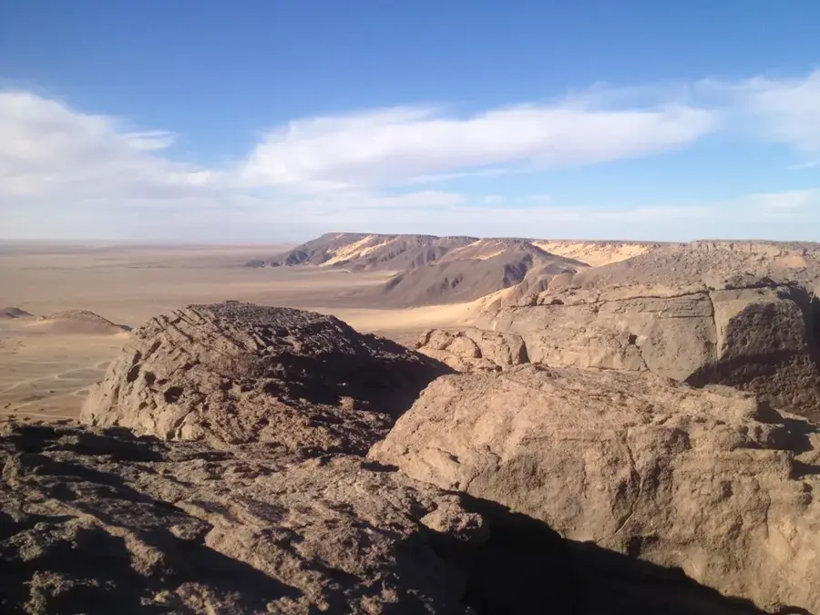
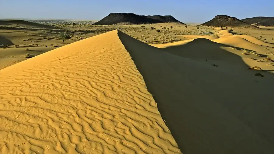
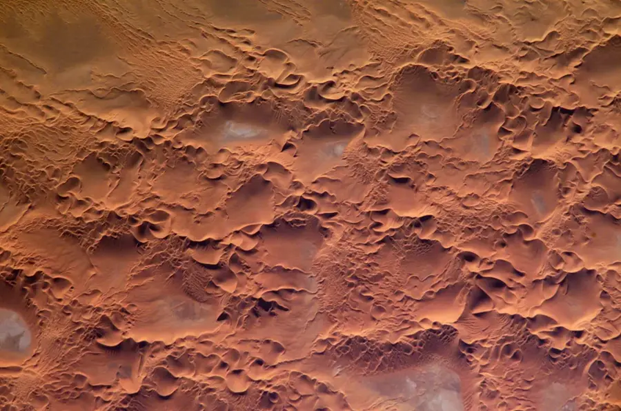
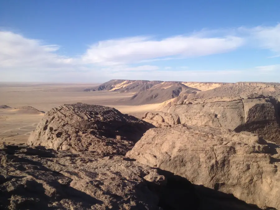
The Tchigaï Plateau is an extremely remote upland region in northeastern Niger, near the triple border with Chad and Libya. This geological formation consists of heavily eroded sandstone and is characterized by deep canyons, bizarre rock formations, and vast plateau plains. It ranks among the driest and most inaccessible parts of the Sahara Desert and is almost entirely uninhabited. Despite the inhospitable aridity, prehistoric rock paintings are found in protected rock niches, indicating human presence during the Sahara's wetter periods. The area is accessible only by off-road vehicles and presents significant logistical challenges, making it one of the least explored places on Earth. Today, it occasionally serves as a crucial landmark for caravans and modern trans-Saharan routes. The landscape appears almost surreal and is a striking example of the erosive power of wind and sand over millions of years.
Best time to visit & climate
The most pleasant time to visit is Feb, Mar, Nov.
| Jan | Feb | Mar | Apr | May | Jun | Jul | Aug | Sep | Oct | Nov | Dec | |
|---|---|---|---|---|---|---|---|---|---|---|---|---|
| Avg °C | 14 | 18 | 22 | 28 | 32 | 34 | 33 | 33 | 31 | 27 | 21 | 16 |
| Rain mm | 0 | 0 | 0 | 0 | 5 | 1 | 0 | 3 | 0 | 0 | 0 | 0 |
📋 Practical info
Geography
Facts
- The average elevation ranges between 500 and 600 meters
- Composed of Paleozoic sandstone showing heavy signs of erosion
- A vital waypoint on the route between Bilma and the Tibesti Mountains
- Receives nearly zero millimeters of rainfall in some years
- Contains no permanent settlements or reliable water sources
- Was not fully mapped by European explorers until the 20th century
Explore nearby
Notable places around
Route planner — Car & Motorhome
Where do you start? We build the route here, with stops and country notes along the way.
© OpenStreetMap contributors · OpenRouteService
Sights nearby
Frequently asked questions
Where is the Tchigaï Plateau?
Is it interesting for tourists?
How is the infrastructure?
What gear do I need?
Do I need a guide?
Tchigaï Plateau: where is it located?
Tchigaï Plateau: when is the best time to visit?
Tchigaï Plateau: why is it worth visiting?

Nature
More places