Plizio Visual Lab
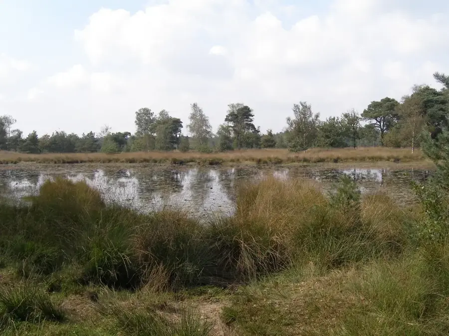
Loonse en Drunense Duinen
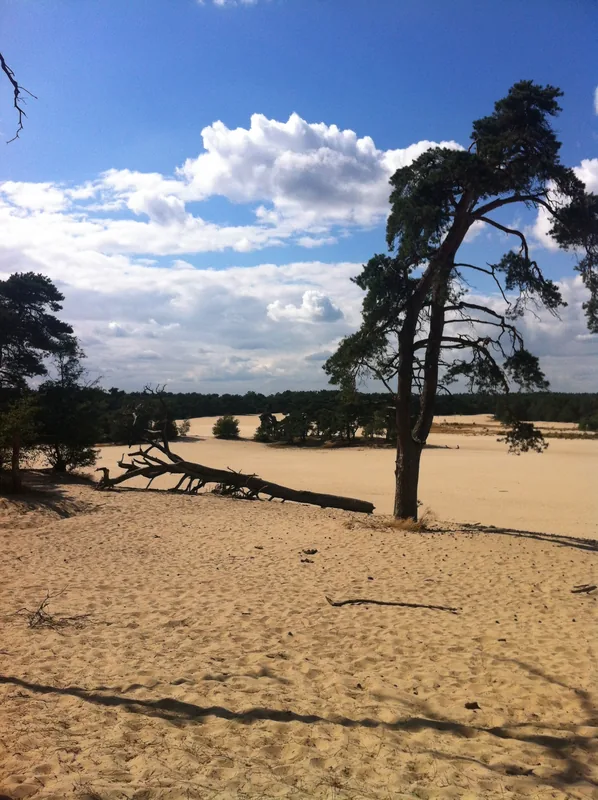
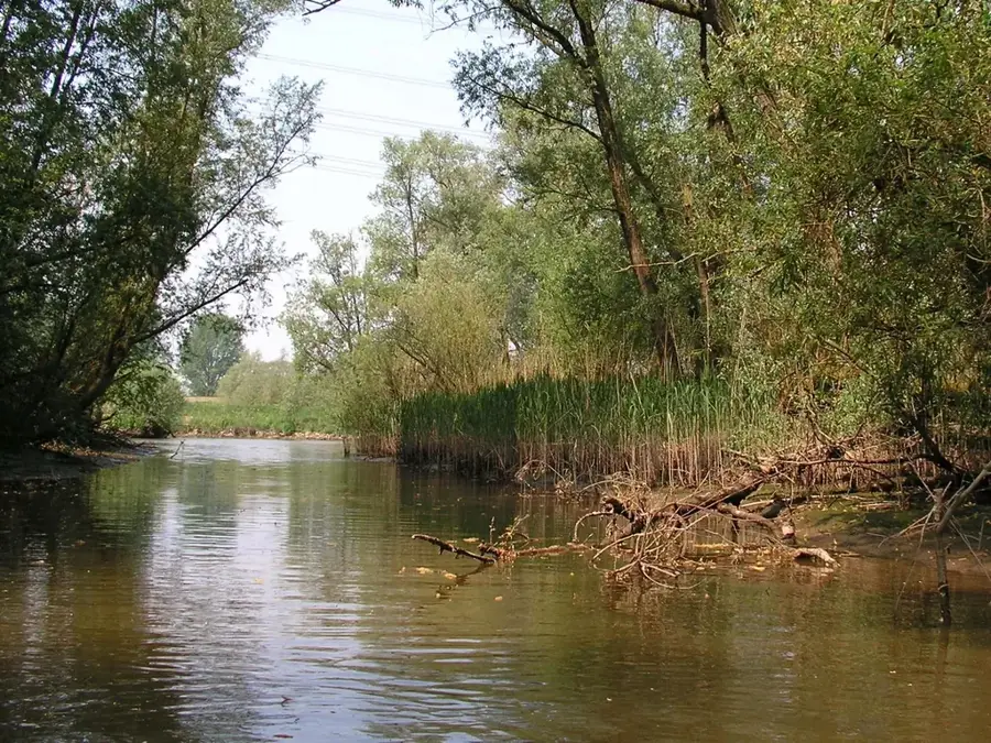
The Loonse en Drunense Duinen National Park, located in the province of North Brabant, covers approximately 35 square kilometres and is celebrated for its vast expanses of drifting sands. Often referred to as the "Brabant Sahara," it contains one of the largest active inland dune systems in Western Europe. The landscape was primarily shaped during the Middle Ages when deforestation and overgrazing removed the protective vegetation, allowing the wind to mobilize the underlying Pleistocene sands. By the 14th century, the shifting dunes posed a significant threat to local villages, leading to large-scale pine afforestation efforts in the 18th and 19th centuries to stabilize the soil. The area is characterized by an extreme microclimate, where ground temperatures can fluctuate by as much as 50 degrees Celsius within a single day. Since 2002, it has held national park status, managed by Natuurmonumenten to preserve its unique mosaic of dry heaths, coniferous forests, and shifting dunes that support specialized flora and fauna.
- Location: North Brabant, Netherlands
- Top sights: Uitkijkpunt · Loonse en Drunense Duinen · De Brand
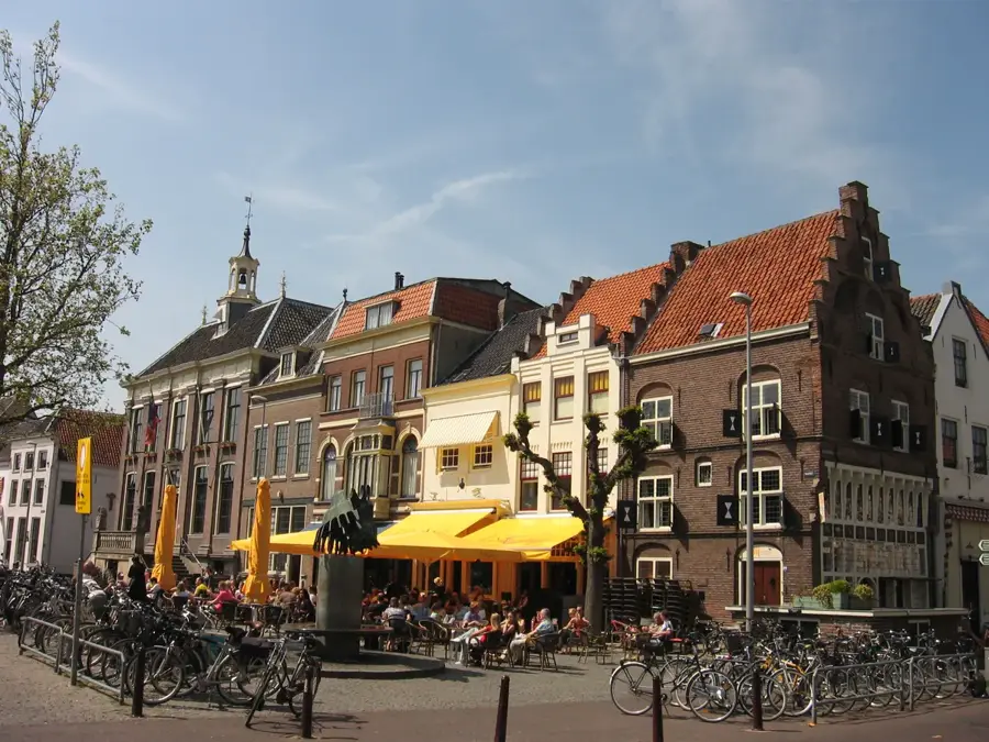
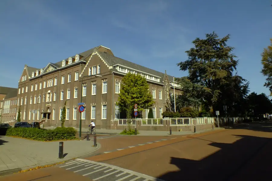
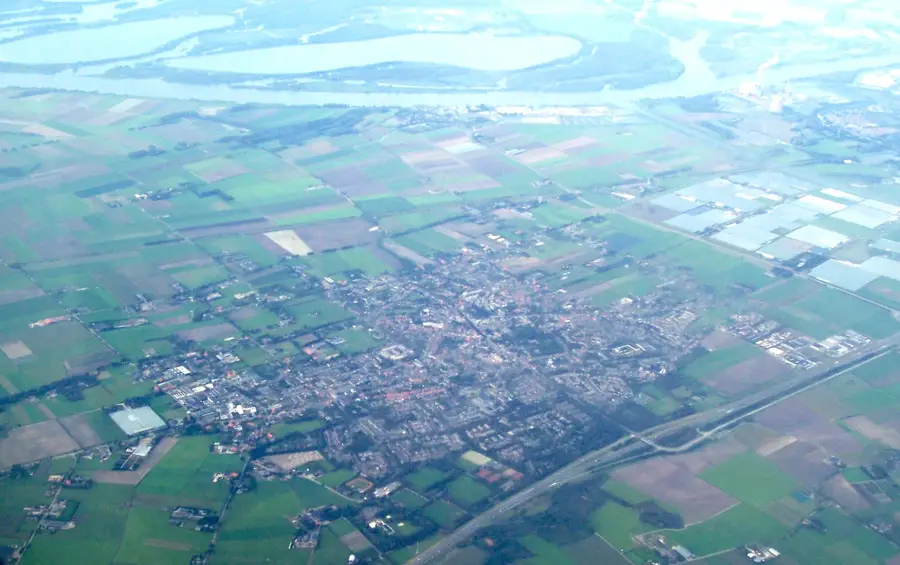
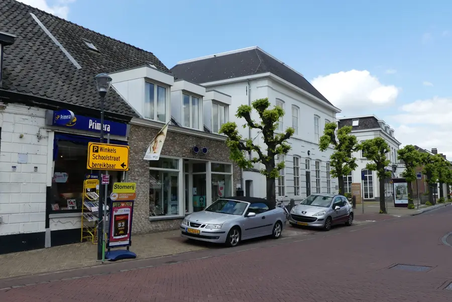
- Nearby: Drunen (4 km)
Best time to visit & climate
The most pleasant time to visit is Jun–Aug.
| Jan | Feb | Mar | Apr | May | Jun | Jul | Aug | Sep | Oct | Nov | Dec | |
|---|---|---|---|---|---|---|---|---|---|---|---|---|
| Avg °C | 3 | 3 | 6 | 10 | 14 | 17 | 19 | 18 | 15 | 11 | 7 | 3 |
| Rain mm | 71 | 62 | 55 | 38 | 59 | 62 | 76 | 80 | 57 | 65 | 69 | 78 |
📋 Practical info
Geography
Facts
- Covers an area of 3500 hectares
- National Park status since 2002
- Sand dunes reach heights of 30 metres
- Ground temperatures reach up to 50 degrees Celsius
- Over 150 km of hiking and cycling paths
- Home to the rare blue-winged grasshopper
Explore nearby
Notable places around
Route planner — Car & Motorhome
Where do you start? We build the route here, with stops and country notes along the way.
© OpenStreetMap contributors · OpenRouteService
Sights in the town Loonse en Drunense Duinen (4)
Sights nearby
Frequently asked questions
Why is it called the 'Brabant Sahara'?
Is walking allowed everywhere?
Are there mountain bike routes?
When is the sand hottest?
Are there restaurants at the edge?
Loonse en Drunense Duinen: where is it located?
Loonse en Drunense Duinen: what is there to see?
Loonse en Drunense Duinen: when is the best time to visit?
Loonse en Drunense Duinen: why is it worth visiting?

Nearby cities
History & landmarks
More places