Plizio Visual Lab
Salentse Bos
Weather…
Water temperature…
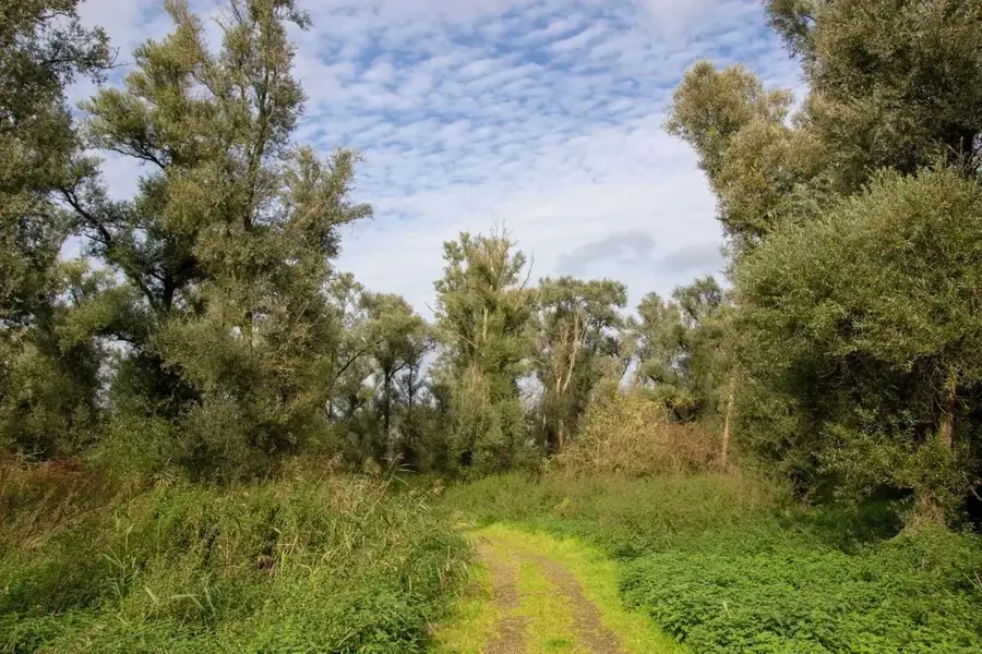
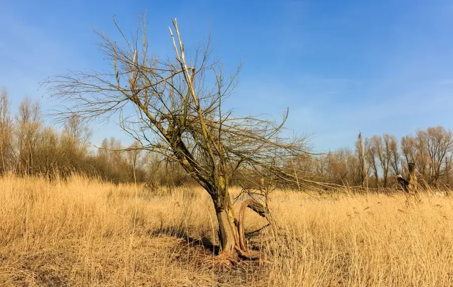
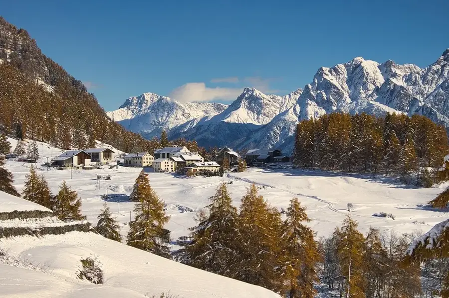
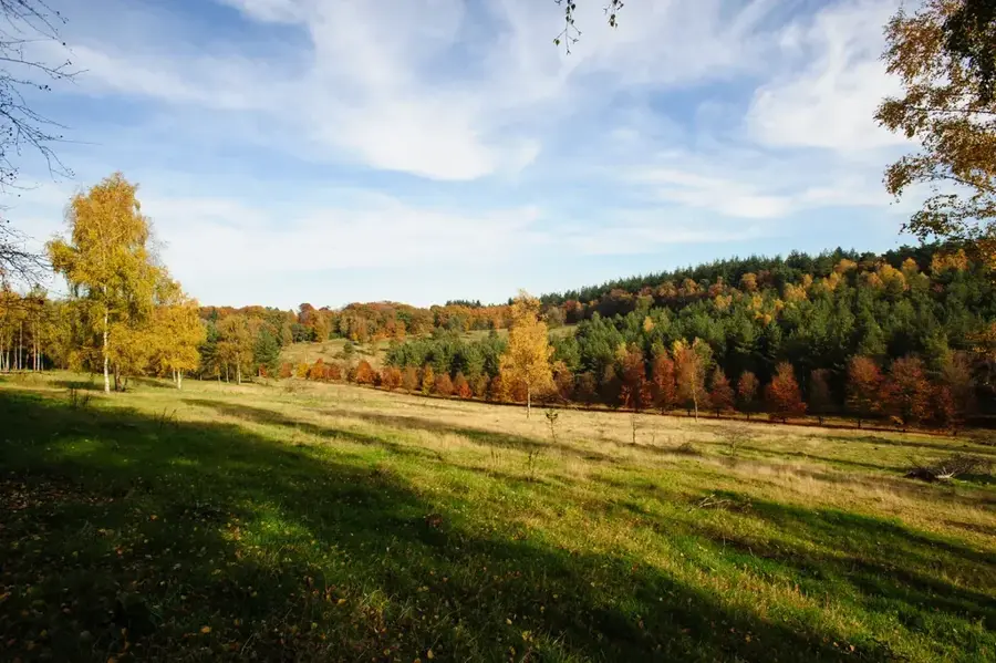
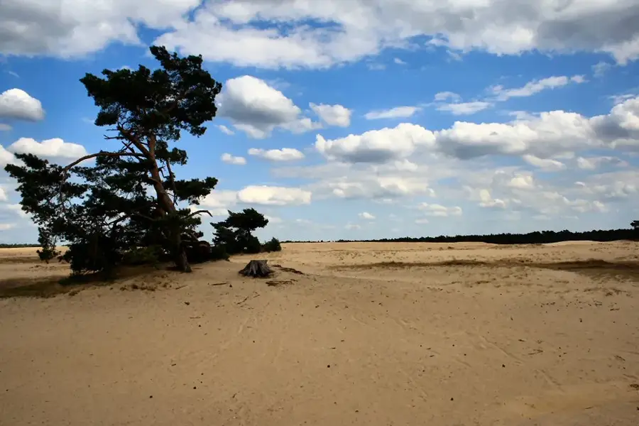
The Sallandse Bos is part of the impressive Sallandse Heuvelrug National Park in the province of Overijssel, a prominent terminal moraine landscape from the Saale ice age. This chain of hills rises significantly from the otherwise flat Dutch environment, offering a mosaic of dense coniferous and deciduous forests as well as extensive heathlands. Historically, the area is of great importance as it hosts one of the last stable populations of the black grouse in the Netherlands, which is why parts of the area are strictly protected. The geology of the region is fascinating; the hills, reaching up to 75 meters high like the Holterberg, were created by massive ice sheets pushing sand and debris ahead of them. Numerous hiking and cycling trails lead through the hilly landscape, which is particularly memorable in autumn due to the coloring of the beech forests. An information center at the Holterberg gives in-depth insights into the ice age history and the specific flora and fauna of this special forest area.
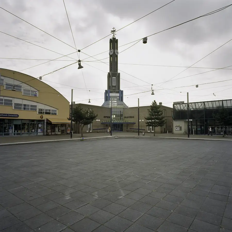
- Location: Flevoland, Netherlands
- Top sights: Zuidstrand · Noordstrand · Strand Nulde Zuid
- Nearby: Zeewolde (6 km)
Best time to visit & climate
The most pleasant time to visit is Jun–Aug.
| Jan | Feb | Mar | Apr | May | Jun | Jul | Aug | Sep | Oct | Nov | Dec | |
|---|---|---|---|---|---|---|---|---|---|---|---|---|
| Avg °C | 3 | 3 | 5 | 9 | 13 | 16 | 18 | 18 | 15 | 11 | 7 | 4 |
| Rain mm | 74 | 63 | 54 | 39 | 59 | 64 | 81 | 85 | 64 | 71 | 70 | 78 |
📋 Practical info
Geography
Facts
- Highest elevation in the region at approximately 75 meters
- Last refuge for the black grouse in the Netherlands
- Formed as a terminal moraine during the penultimate ice age
- Home to a Canadian war cemetery from World War II
- A popular section for long-distance trails like the Pieterpad
- Large stands of common juniper on the heathlands
Explore nearby
Notable places around
Route planner — Car & Motorhome
Where do you start? We build the route here, with stops and country notes along the way.
© OpenStreetMap contributors · OpenRouteService
Sights in the town Salentse Bos (3)
Strand Nulde Zuid🎡 recreation
Positioned near the Salentse Bos, Strand Nulde Zuid serves as a lovely southern gateway to the water. The surrounding greenery lends a calm and family-friendly tone to the beach. Spending the day here typically includes splashing in the shallows, lounging on the shore, and enjoying the fresh air. A sturdy pair of walking shoes is useful if you wish to explore the nearby woods afterward.
Sights nearby
Frequently asked questions
What is the Sallandse Heuvelrug?
Are there rare animals there?
Is the area hilly?
Where can you go hiking?
Is there a visitor center?
Salentse Bos: where is it located?
Salentse Bos: what is there to see?
Salentse Bos: when is the best time to visit?
Salentse Bos: why is it worth visiting?

Nearby cities
History & landmarks

Nature
More places