Plizio Visual Lab
Caprivi Floodplains
Weather…
Water temperature…
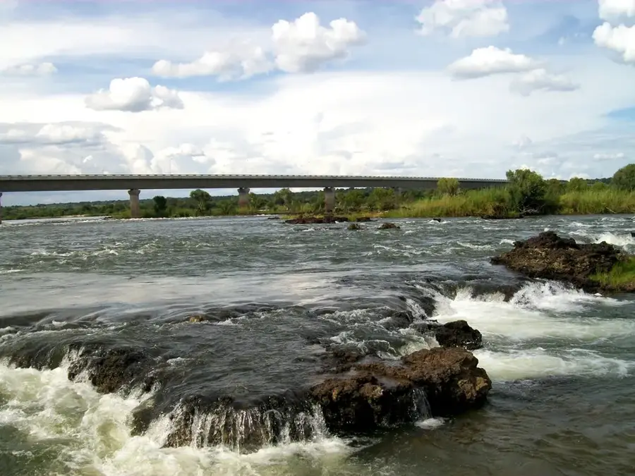
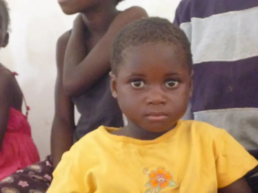
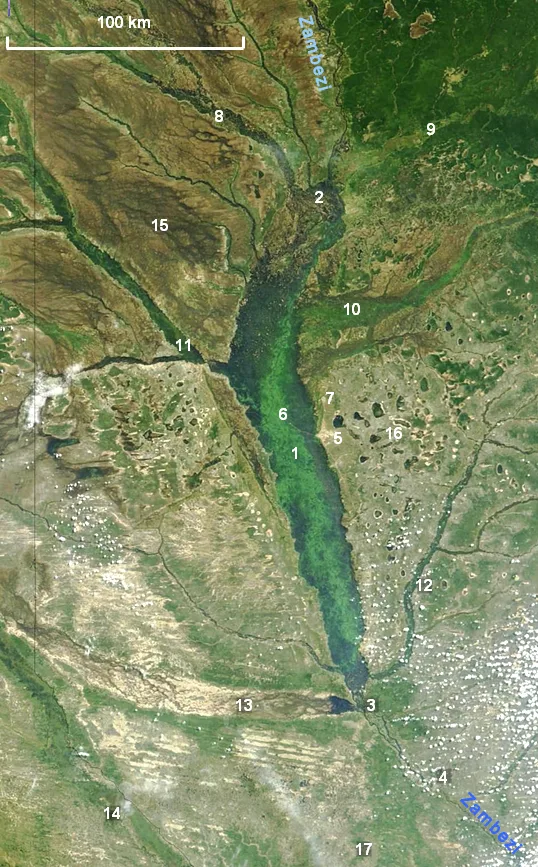
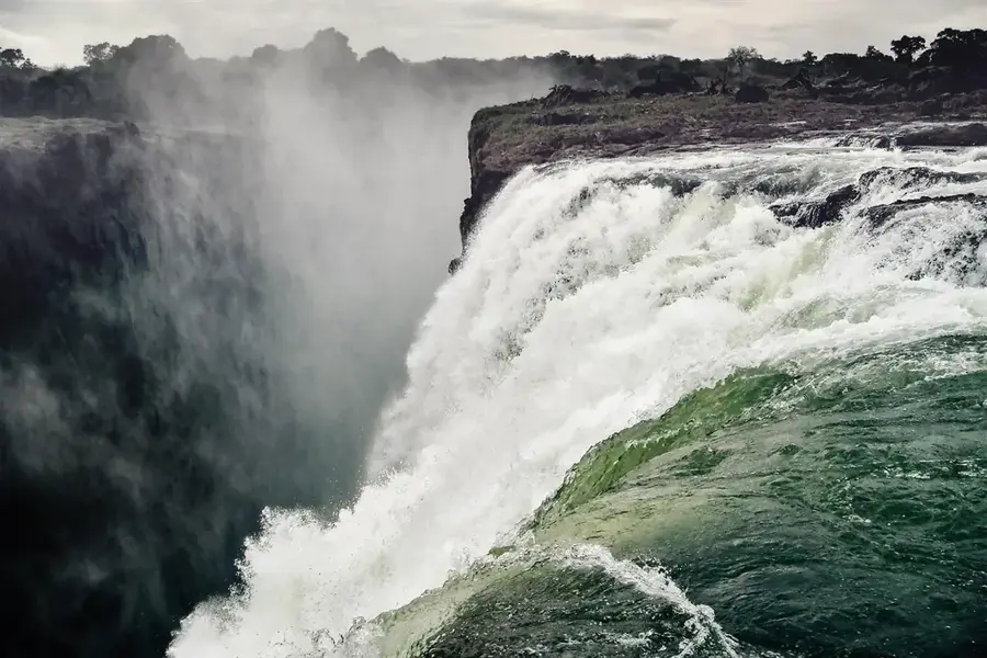
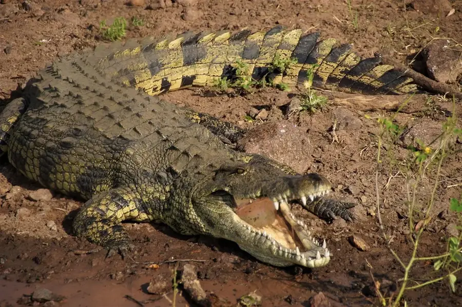
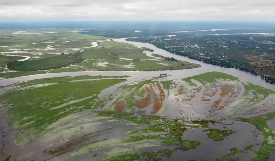
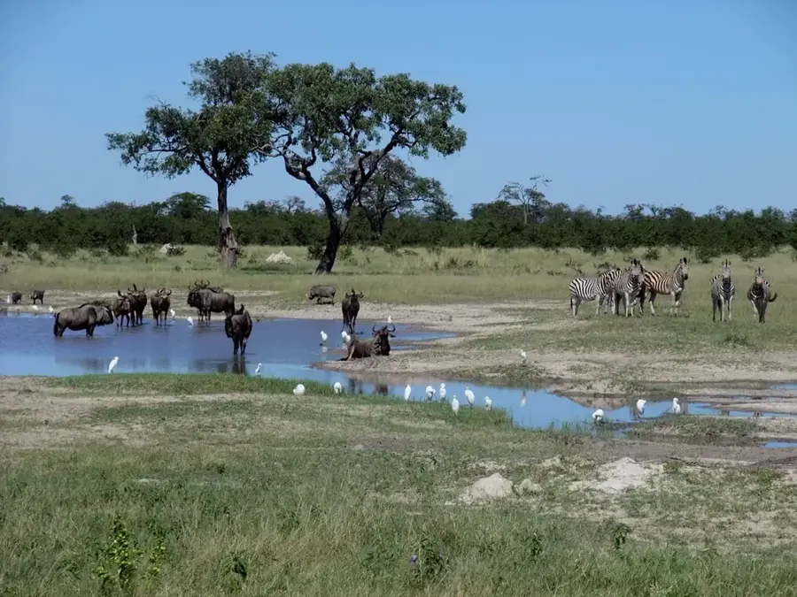
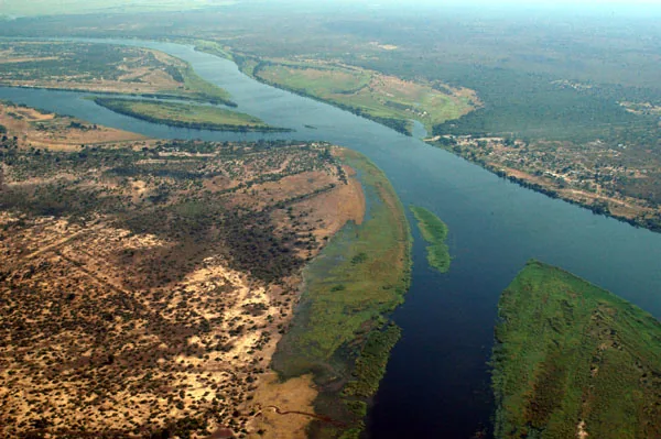
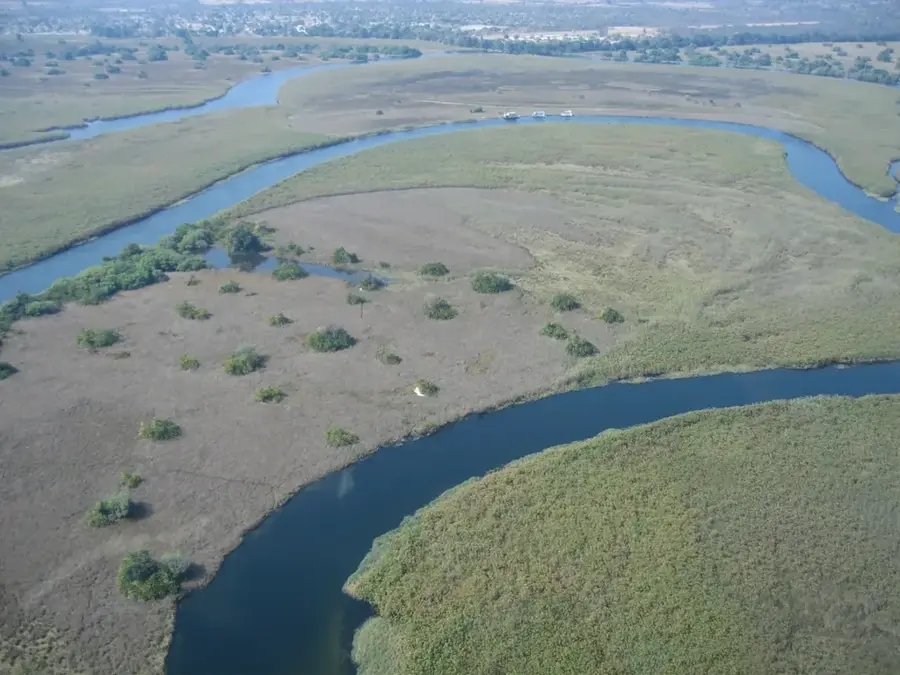
The Caprivi Floodplains (Zambezi Floodplains) in northeastern Namibia constitute one of the most dynamic and water-rich landscapes in Southern Africa. Located in the heart of the Kalahari basin, these vast plains are annually transformed by the rising waters of the Zambezi, Chobe, Kwando, and Linyanti rivers. These seasonal floods turn the dry bushveld into a massive mosaic of channels, lagoons, and islands, which is crucial for the survival of countless wildlife species. Massive herds of elephants, Cape buffaloes, hippos, and crocodiles inhabit the region, while the wetlands serve as internationally significant bird sanctuaries. Local communities have adapted to this rhythm for centuries, utilizing the fertile soils for agriculture and the waters for fishing. The area is a core component of the Kavango-Zambezi Transfrontier Conservation Area (KAZA), providing vital migratory corridors for animals moving between Namibia, Botswana, Zambia, and Zimbabwe.
- Location: Namibia
- Nearby: Katima Mulilo (30 km)
Best time to visit & climate
The most pleasant time to visit is May, Jun, Aug.
| Jan | Feb | Mar | Apr | May | Jun | Jul | Aug | Sep | Oct | Nov | Dec | |
|---|---|---|---|---|---|---|---|---|---|---|---|---|
| Avg °C | 25 | 25 | 24 | 23 | 21 | 18 | 18 | 21 | 25 | 29 | 28 | 26 |
| Rain mm | 184 | 132 | 111 | 41 | 3 | 1 | 0 | 0 | 2 | 10 | 74 | 166 |
📋 Practical info
Geography
Facts
- Annual floods typically reach their peak between April and May.
- The region is home to over 450 distinct bird species.
- The floodplains are part of the 520,000 km² KAZA conservation area.
- Fishing is the primary source of protein for the local population.
- Four major river systems converge in this unique geographic corner.
- Vegetation is dominated by papyrus, reeds, and vast seasonal grasslands.
Explore nearby
Notable places around
Route planner — Car & Motorhome
Where do you start? We build the route here, with stops and country notes along the way.
© OpenStreetMap contributors · OpenRouteService
Sights nearby
Frequently asked questions
When do the floods occur?
Is the region malaria-free?
Can you go boating there?
Are there crocodiles and hippos?
Is the area good for bird watching?
Caprivi Floodplains: where is it located?
Caprivi Floodplains: when is the best time to visit?
Caprivi Floodplains: why is it worth visiting?