Plizio Visual Lab
Katima Mulilo
ℹ️Practical info — Katima Mulilo
▾
🌤 Weather — 5 days
📍 Nearby
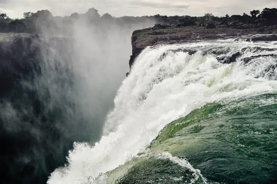
Sights nearby
💡 Tips
- Never walk near the Zambezi riverbank at night due to roaming hippos and crocodiles.
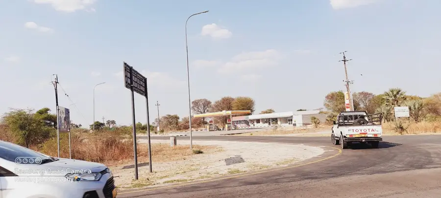
- Stock up on supplies and fuel here before heading into the Caprivi Strip parks.
- The border post to Zambia can be chaotic, so cross early in the day.
- Always carry good insect repellent as this is a malaria-endemic zone.
🍽 Food
Fresh river fish, usually grilled or fried, served in riverside lodges.
Grilled beef strips with salsa, sold at local open-air markets.
A traditional pearl millet porridge served as a side to stews.
🛍 Shopping · 🧘 Quiet spots
Find traditional crafts, food, and daily goods.
A great spot for local wood carvings and intricately woven baskets.
Excellent for safe and relaxing sunset views over the Zambezi.
Rest under the massive ancient baobab trees on the edges of town.
Water temperature…
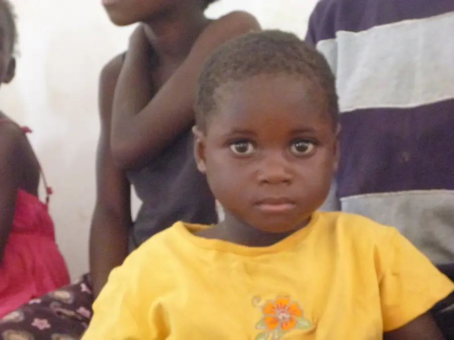
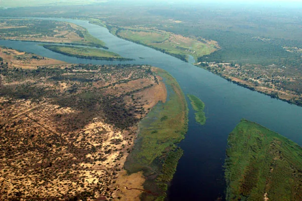
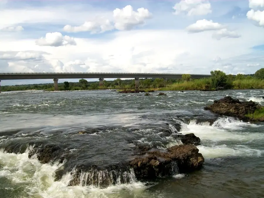
Katima Mulilo is the administrative capital of the Zambezi Region in extreme northeastern Namibia, situated on the southern bank of the mighty Zambezi River. The town was founded in 1935 during the British administration of the Bechuanaland Protectorate as an alternative to the lower-lying Schuckmannsburg. Due to its location in the Caprivi Strip, it is a vital trade hub connecting Namibia with Zambia, Botswana, and Zimbabwe. The Katima Mulilo Bridge, opened in 2004, links Namibia directly to Sesheke in Zambia as part of the Walvis Bay-Ndola-Lubumbashi Corridor. The region's tropical climate differs significantly from the rest of Namibia, supporting lush vegetation and diverse wildlife in nearby national parks. The town serves as a gateway for ecotourism and river cruises on the Zambezi, with local culture heavily influenced by the traditions of the Lozi people.
- Location: Namibia
- Nearby: Bukalo (35 km)
- Population: ~33.615 (2026)
Best time to visit & climate
The most pleasant time to visit is May, Jun, Aug.
| Jan | Feb | Mar | Apr | May | Jun | Jul | Aug | Sep | Oct | Nov | Dec | |
|---|---|---|---|---|---|---|---|---|---|---|---|---|
| Avg °C | 25 | 25 | 25 | 24 | 21 | 19 | 18 | 21 | 26 | 29 | 28 | 26 |
| Rain mm | 189 | 141 | 113 | 43 | 3 | 1 | 0 | 0 | 2 | 12 | 76 | 183 |
Geography
Facts
- The town was officially established as an administrative center in 1935.
- The Katima Mulilo Bridge across the Zambezi is 900 meters long.
- Katima Mulilo means 'extinguish the fire' in the Lozi language.
- The town is located approximately 1,200 kilometers northeast of Windhoek.
- The Zambezi River frequently reaches high water levels here during the rainy season.
- Nearby Lake Liambezi is a significant wetland for the region.
Explore nearby
Notable places around
Route planner — Car & Motorhome
Where do you start? We build the route here, with stops and country notes along the way.
© OpenStreetMap contributors · OpenRouteService
Sights in the town Katima Mulilo (1)
Frequently asked questions
What makes Katima Mulilo so special?
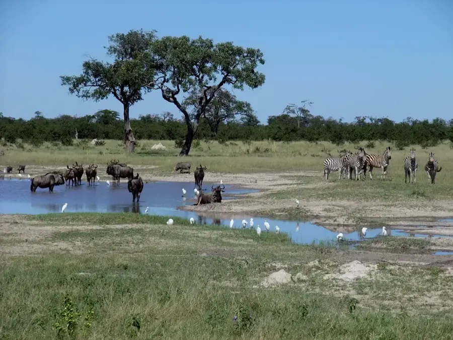
What animals can I observe here?
When is the best time to visit?
What is the weather like in Katima Mulilo?
Is the region safe for travelers?
Katima Mulilo: where is it located?
Katima Mulilo: when is the best time to visit?
Katima Mulilo: why is it worth visiting?