Plizio Visual Lab
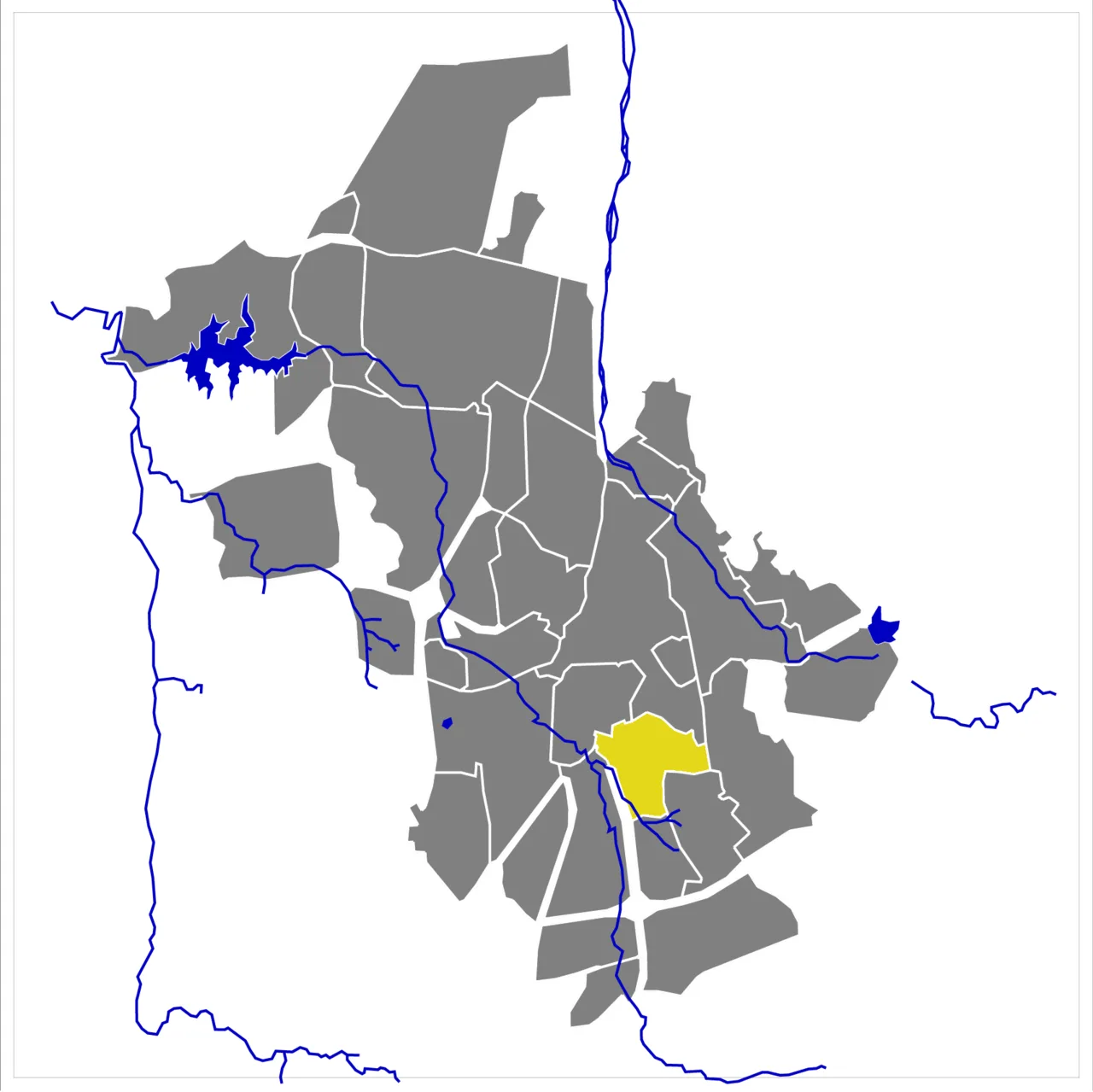
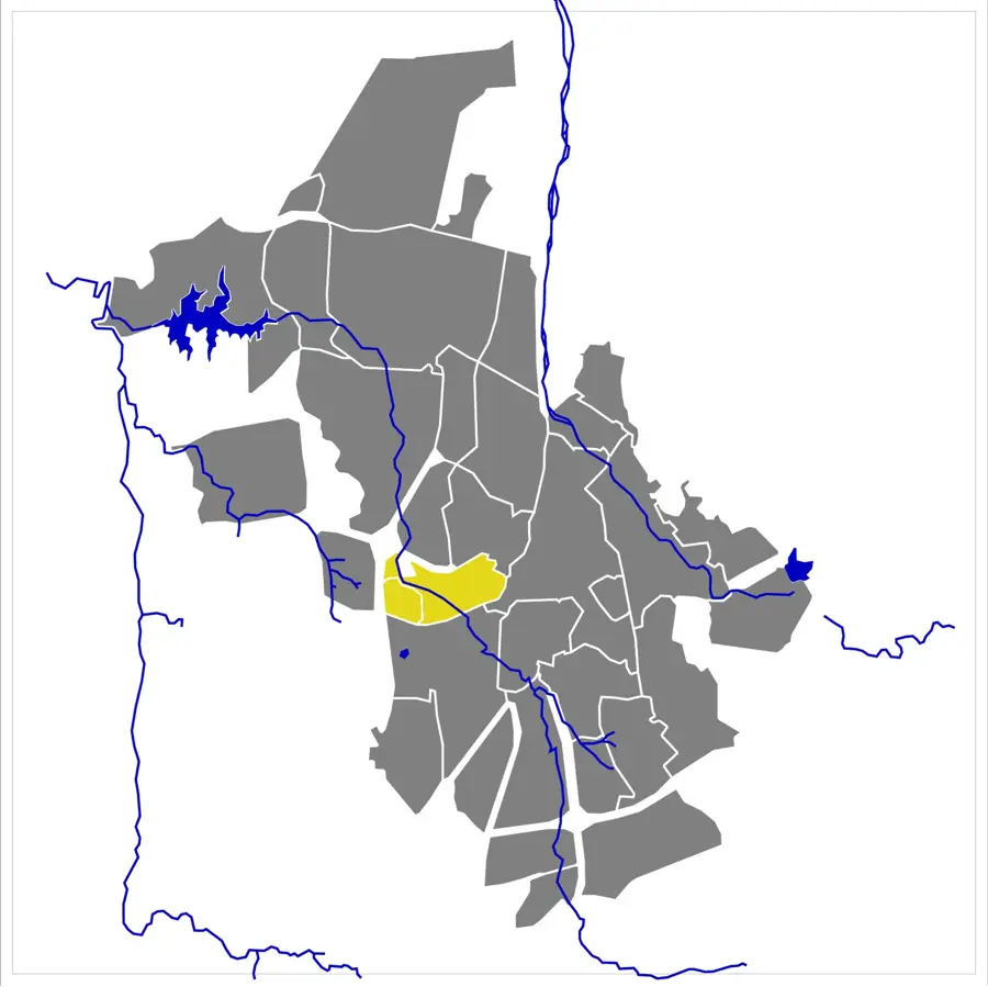
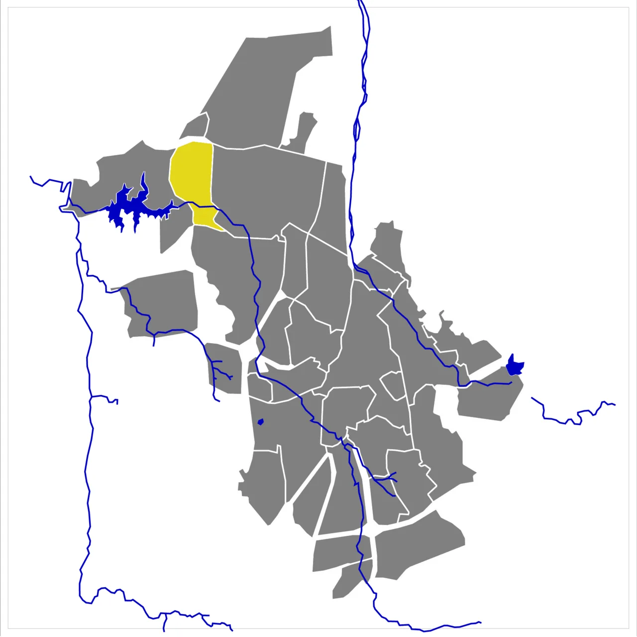
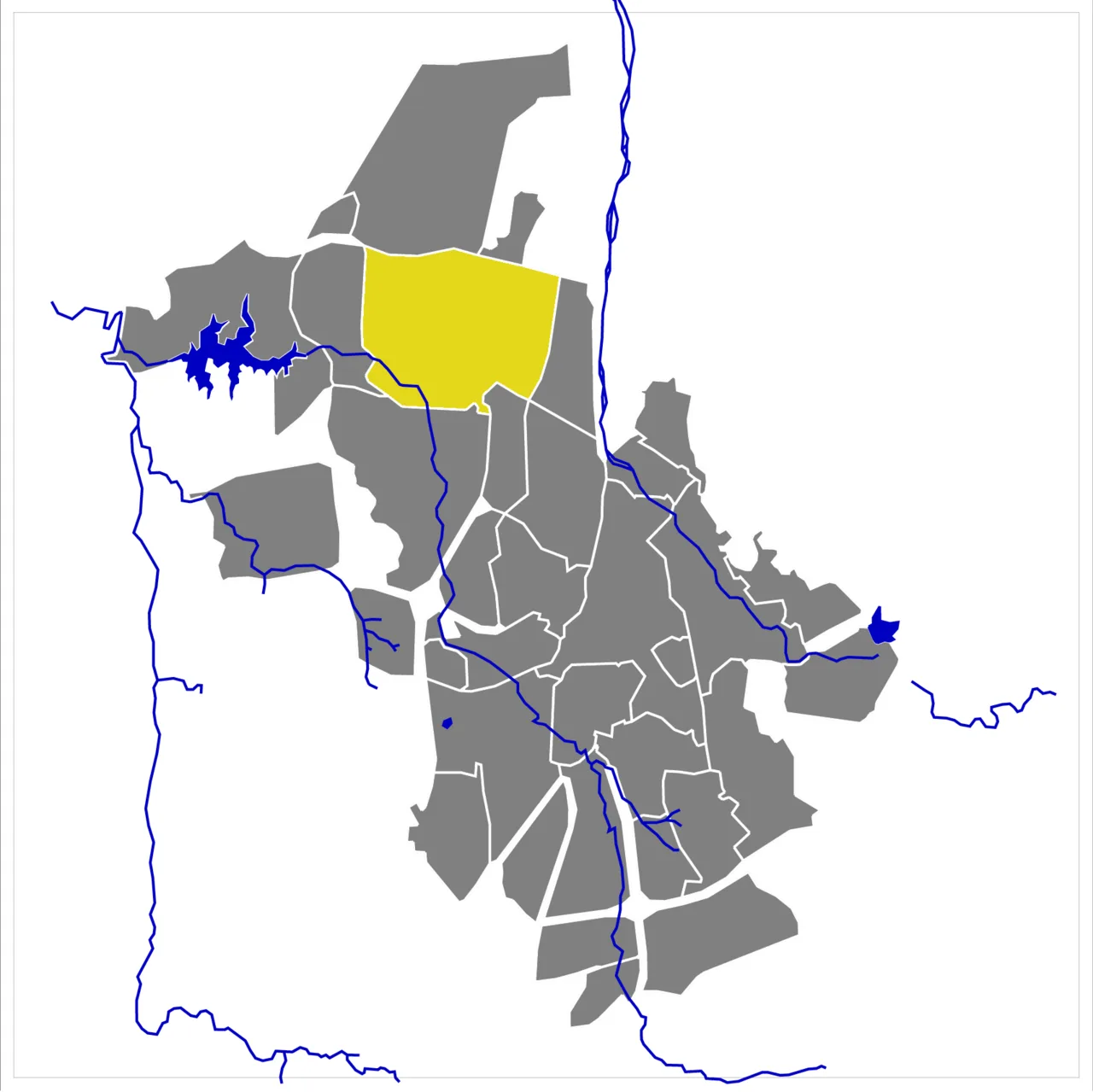
Khomas Hochland
Weather…
Water temperature…
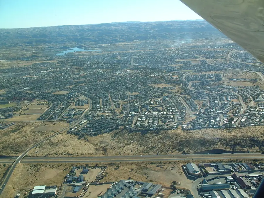
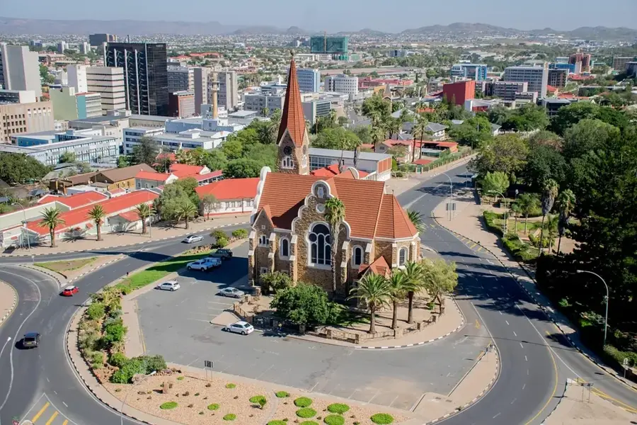
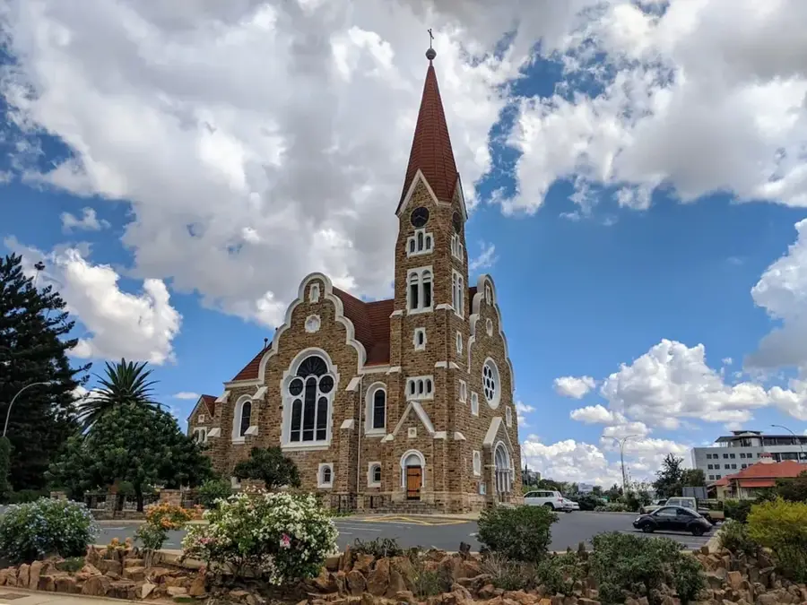
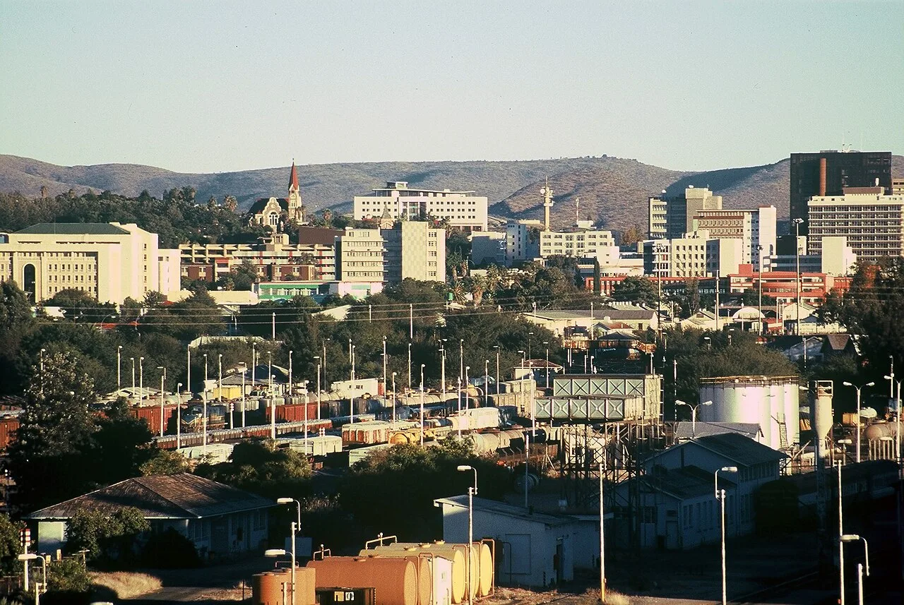
The Khomas Hochland is a rugged highland region in central Namibia, encircling the capital city of Windhoek. With an average elevation between 1700 and 2000 meters above sea level, it serves as a crucial climatic divide between the arid Namib Desert and the semi-arid Kalahari. Geologically, the plateau is composed of ancient metamorphic rocks, primarily mica schists and quartzites, creating a landscape of deep-cut valleys and rolling ridges. Historically, it was a vital grazing ground for the Damara and Herero people before being partitioned into commercial farms during the German colonial era. Today, the highland is the primary water catchment area for the central region, sustaining the urban population and agriculture. The vegetation is characterized by highland savanna and thornbush, providing a habitat for wildlife such as Hartmann's mountain zebra, kudu, and leopards. Its high altitude and clear skies make it an exceptional location for astronomical observations and sustainable ecotourism, offering a dramatic contrast to the surrounding desert plains.
- Location: Namibia
- Nearby: Gross Barmen (51 km)
Best time to visit & climate
The most pleasant time to visit is Apr, May, Sep.
| Jan | Feb | Mar | Apr | May | Jun | Jul | Aug | Sep | Oct | Nov | Dec | |
|---|---|---|---|---|---|---|---|---|---|---|---|---|
| Avg °C | 26 | 25 | 24 | 22 | 18 | 15 | 15 | 17 | 21 | 24 | 25 | 26 |
| Rain mm | 52 | 65 | 52 | 35 | 3 | 1 | 0 | 0 | 2 | 10 | 13 | 23 |
📋 Practical info
Geography
Facts
- Average elevation ranges between 1700 and 2000 meters.
- The bedrock consists primarily of mica schist and quartzite.
- The highland covers an area of roughly 30,000 km².
- Windhoek is situated within a natural basin of the highland.
- It serves as the main water catchment for central Namibia.
- Important habitat for the endemic Hartmann's mountain zebra.
Explore nearby
Notable places around
Route planner — Car & Motorhome
Where do you start? We build the route here, with stops and country notes along the way.
© OpenStreetMap contributors · OpenRouteService
Sights nearby
Frequently asked questions
Is the highlands suitable for families?
What vehicle is recommended?
What is the best season to visit?
Are there gas stations in the highlands?
How long does the crossing take?
Khomas Hochland: where is it located?
Khomas Hochland: when is the best time to visit?
Khomas Hochland: why is it worth visiting?

Nearby cities
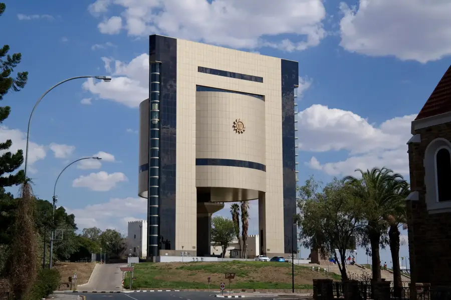
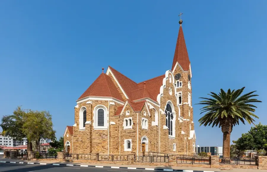
History & landmarks

More places