Plizio Visual Lab
Rakhine Coast
Weather…
Water temperature…
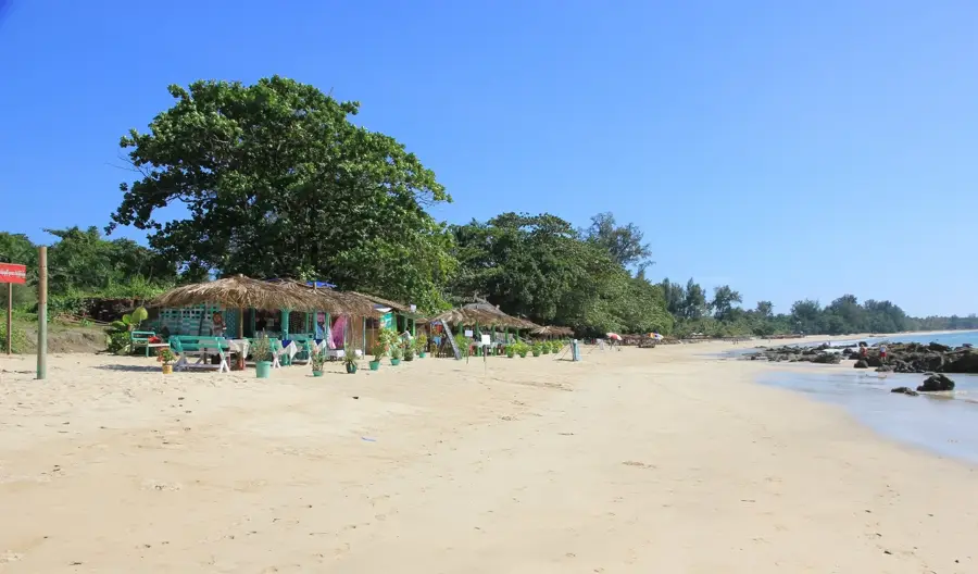
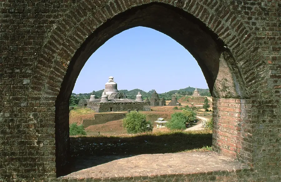
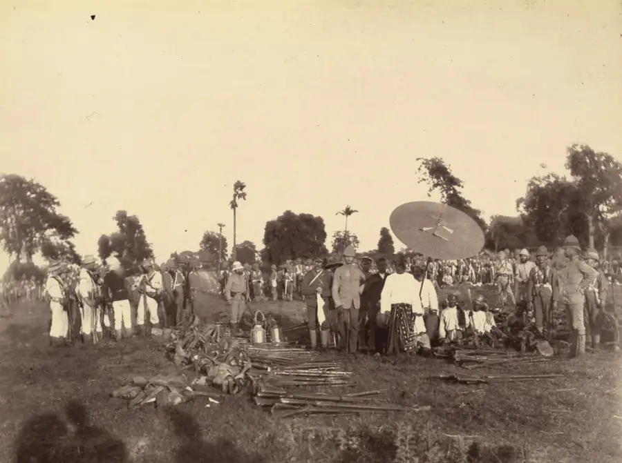
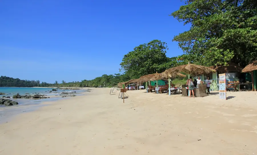
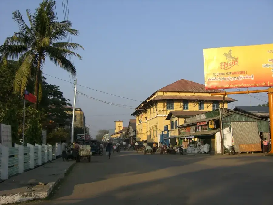
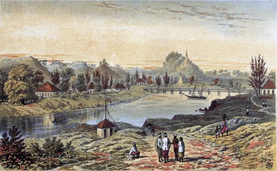
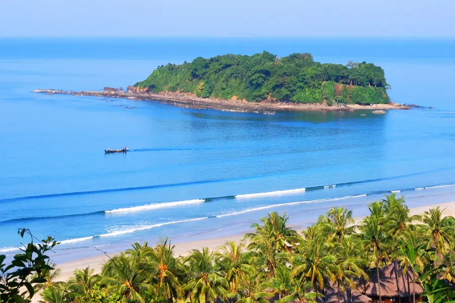
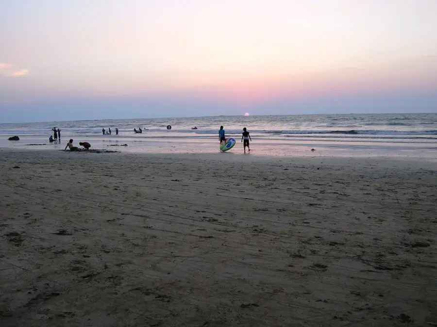
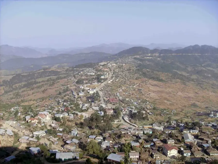
The Rakhine Coast, historically known as the Arakan Coast, stretches along the western seaboard of Myanmar on the Bay of Bengal. It is characterized by a narrow coastal strip bounded to the east by the rugged Arakan Yoma mountains, which isolated the region from the rest of the country for centuries. This geographic isolation facilitated the rise of the independent Kingdom of Arakan, whose former capital, Mrauk U, still hosts impressive stone pagodas and ruins today. The coastline is marked by numerous bays, offshore islands such as Ramree and Cheduba, and extensive mangrove forests. Economically, the region is heavily dependent on fishing, agriculture (notably rice cultivation), and increasingly on offshore natural gas extraction. The city of Sittwe serves as the region's most important port and administrative center. In recent decades, the Rakhine Coast has gained international attention due to complex ethnic conflicts and the associated refugee crisis. Despite these challenges, the coast gives some of Southeast Asia's most beautiful sandy beaches, such as those at Ngapali.
- Location: Myanmar (Burma)
- Nearby: Ngapali Beach (35 km)
Best time to visit & climate
The most pleasant time to visit is Jan, Feb, Dec.
| Jan | Feb | Mar | Apr | May | Jun | Jul | Aug | Sep | Oct | Nov | Dec | |
|---|---|---|---|---|---|---|---|---|---|---|---|---|
| Avg °C | 24 | 25 | 27 | 29 | 29 | 29 | 28 | 28 | 28 | 28 | 27 | 25 |
| Rain mm | 12 | 2 | 10 | 47 | 250 | 506 | 708 | 547 | 387 | 245 | 35 | 12 |
📋 Practical info
Geography
Facts
- The Rakhine Coast extends for a length of approximately 740 kilometers.
- Mrauk U was the capital of the Arakan Kingdom from the 15th to the 18th century.
- Ramree Island is famous for its large population of saltwater crocodiles.
- Ngapali Beach is considered the most exclusive seaside resort in Myanmar.
- The Kaladan Multi-Modal project connects Sittwe with the Indian state of Mizoram.
- The coastal region is a frequent target for severe cyclones from the Bay of Bengal.
Explore nearby
Notable places around
Route planner — Car & Motorhome
Where do you start? We build the route here, with stops and country notes along the way.
© OpenStreetMap contributors · OpenRouteService
Sights nearby
Frequently asked questions
What are the beaches like on the Rakhine Coast?
Can you swim there?
How do you get to the coast?
Are there beach hotels?
What is the best time for the beach?
Rakhine Coast: where is it located?
Rakhine Coast: when is the best time to visit?
Rakhine Coast: why is it worth visiting?

Nearby cities


Nature
More places