Plizio Visual Lab
Arakan Mountains

Weather…
Water temperature…
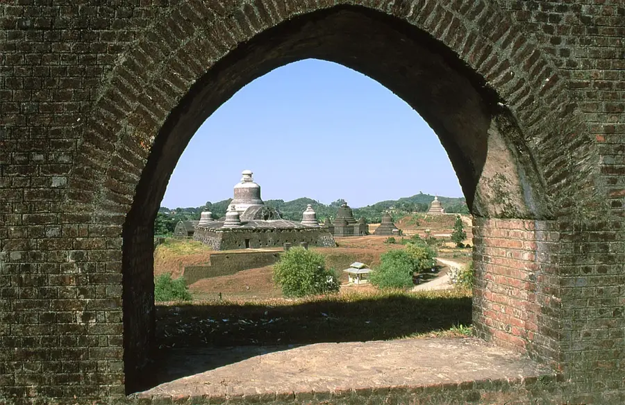
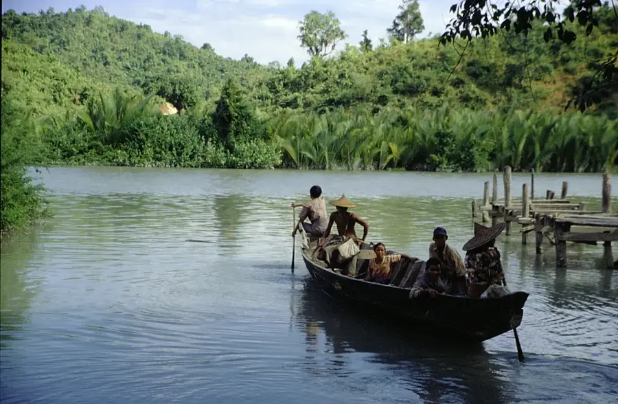
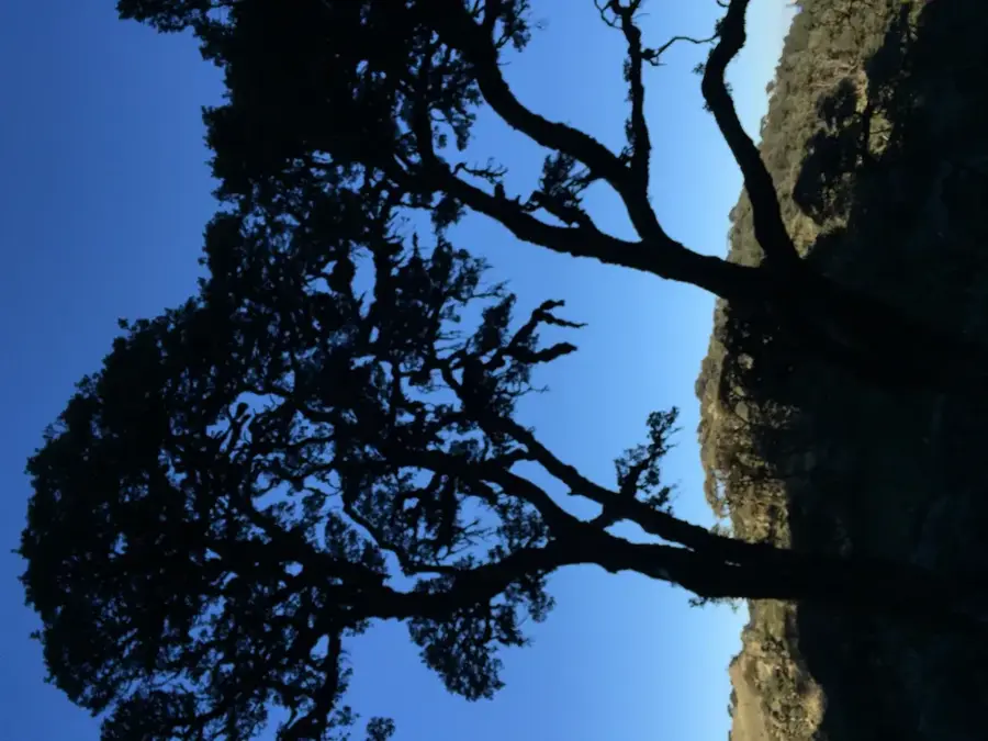
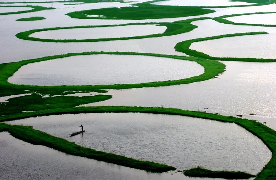
The Arakan Mountains, also known as the Rakhine Yoma, are a significant mountain range in western Myanmar, acting as a natural barrier between the coastal Rakhine State and the central Irrawaddy River basin. Stretching approximately 950 kilometers from the Manipur hills in the north down to Cape Negrais in the south, the range is a defining geographic feature of the region. The highest peak is Nat Ma Taung (Mount Victoria), which rises to 3,053 meters and is recognized as a global center of floral diversity and a national park. Geologically, the range was formed by the ongoing tectonic collision between the Indian and Eurasian plates, resulting in steep ridges and deep valleys. The dense evergreen and deciduous forests of the Arakan Yoma are home to rare species, including the Arakan forest turtle, once feared extinct. The range also dictates the regional climate by intercepting the southwest monsoon, leading to extremely high rainfall on its western slopes.
Best time to visit & climate
The most pleasant time to visit is Jan, Feb, Dec.
| Jan | Feb | Mar | Apr | May | Jun | Jul | Aug | Sep | Oct | Nov | Dec | |
|---|---|---|---|---|---|---|---|---|---|---|---|---|
| Avg °C | 23 | 24 | 27 | 29 | 29 | 29 | 28 | 28 | 28 | 28 | 26 | 24 |
| Rain mm | 11 | 2 | 12 | 39 | 149 | 401 | 543 | 387 | 256 | 164 | 20 | 11 |
📋 Practical info
Geography
Facts
- The range spans approximately 950 kilometers in length.
- Nat Ma Taung is the highest peak, standing at 3,053 meters.
- It acts as a climatic divide between the coast and central plains.
- The Arakan forest turtle is endemic to these mountains.
- The range is composed of Cretaceous and Cenozoic rock layers.
- It terminates in the south at Cape Negrais on the Andaman Sea.
Explore nearby
Notable places around
Route planner — Car & Motorhome
Where do you start? We build the route here, with stops and country notes along the way.
© OpenStreetMap contributors · OpenRouteService
Sights nearby
Frequently asked questions
How difficult are the Arakan Mountains?
Is the region developed for tourism?
Is special gear needed here?
What is the best season?
Are there dangers there?
Arakan Mountains: where is it located?
Arakan Mountains: when is the best time to visit?
Arakan Mountains: why is it worth visiting?

Nearby cities


Nature
More places