Plizio Visual Lab
Hakha
ℹ️Practical info — Hakha
▾
🌤 Weather — 5 days
📍 Nearby
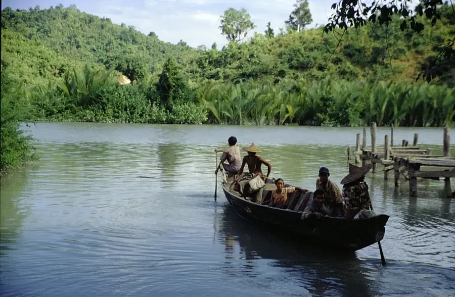
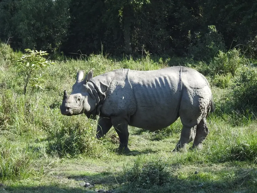
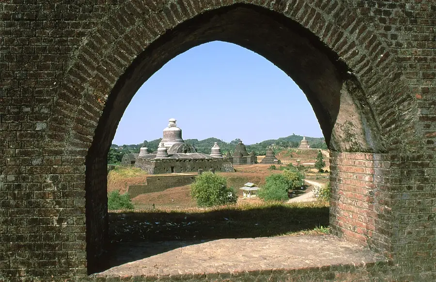
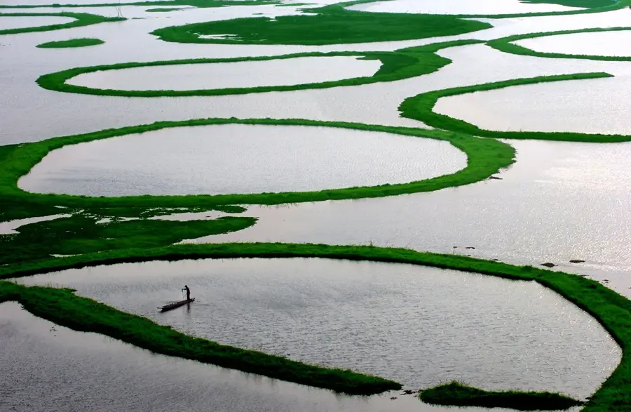
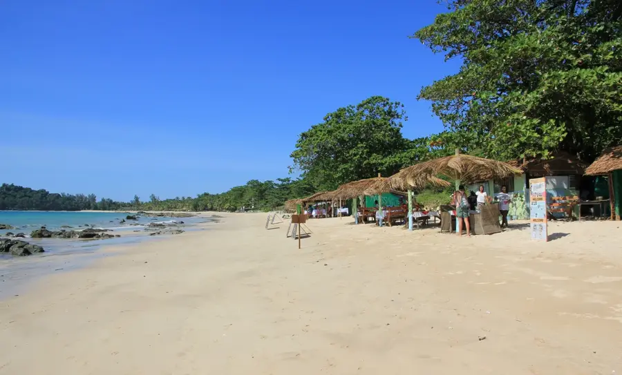
Sights nearby
💡 Tips
- Bring warm clothing; due to its high altitude, Hakha is notably colder than most of Myanmar, especially at night.
- Road conditions can be challenging, especially during the monsoon season; factor in extra travel time.
- Internet and mobile connections may be unreliable, so download offline maps and necessary documents.
- Respect local Chin traditions; ask for permission before entering villages or photographing locals.
🍽 Food
A traditional Chin soup made from corn and meat (often beef or pork), first-rate for the cold weather.
Try the local millet or rice wine, often served at social gatherings or local guesthouses.
Start your morning with a hot cup of sweet tea and fried snacks at a local teahouse in the town center.
🛍 Shopping · 🧘 Quiet spots
Look for colorful, handwoven traditional Chin blankets and garments (puan) at local markets.
Visit the main market early in the morning for fresh mountain produce and local handicrafts.
Walk up to the hills surrounding the town for a panoramic, misty view of the valleys below.
The town has many large, peaceful churches that are quiet spots for reflection outside of service times.
Water temperature…
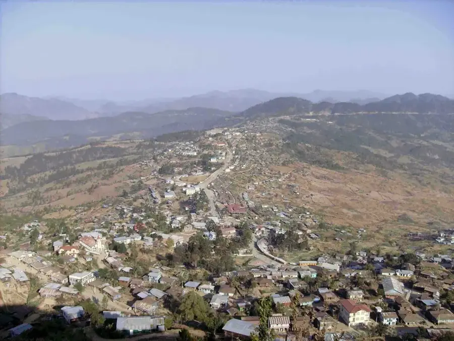
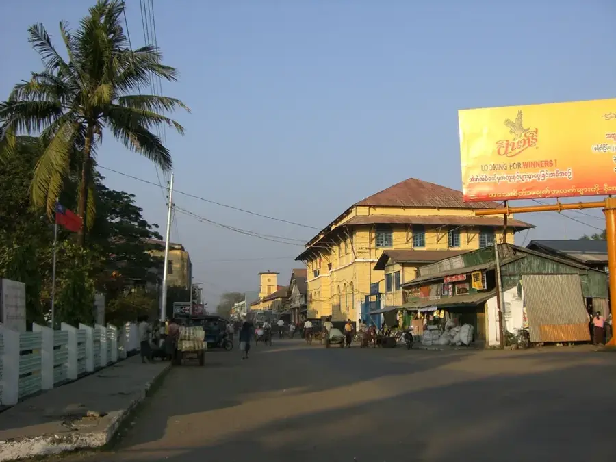
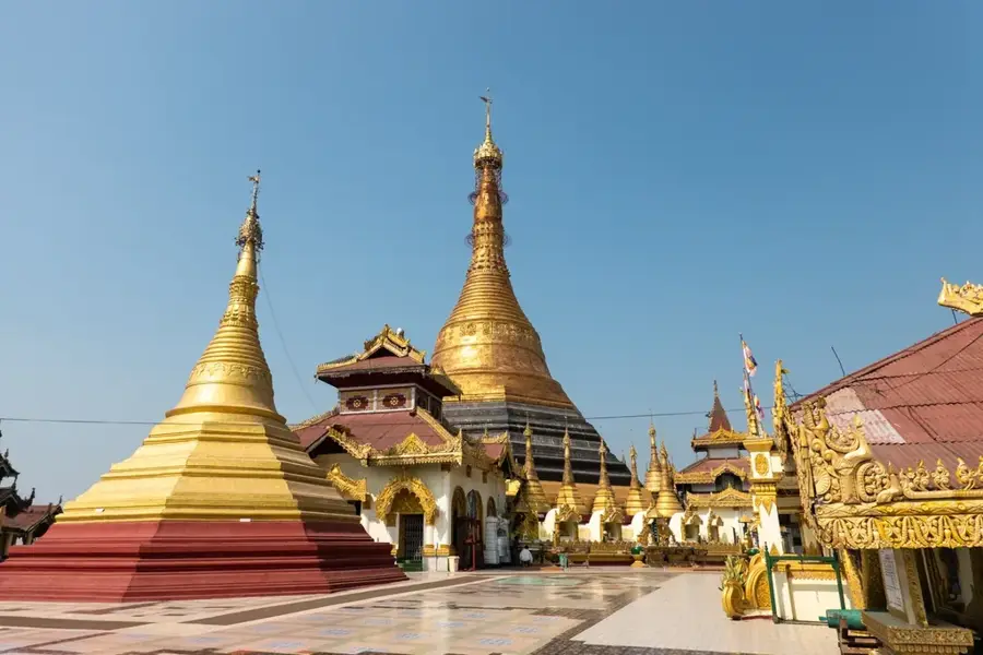
Hakha is the capital of Chin State in western Myanmar, famously perched at an elevation of 1,867 meters (6,125 feet) above sea level. The city is built on a mountain slope in a plateau shape, overlooking the dramatic Chin Hills, which form a rugged natural barrier between Myanmar and India. Established by the British in 1890 as a regional administrative center, Hakha grew from a small tribal settlement into a thriving hill station. The climate here is notably temperate and cool, with foggy summers and cold winters where frost is common, a sharp contrast to the tropical heat of the central plains. The majority of the population belongs to the Chin ethnic group, specifically the Lai people, whose culture was profoundly transformed by the arrival of American Baptist missionaries at the turn of the 20th century. This heritage is evident in the city's numerous churches and its status as a spiritual center for Christianity in Myanmar. Economically, Hakha serves as the administrative hub for the state, with its workforce primarily engaged in government services, education, and small-scale commerce. Agriculture in the surrounding hills relies on terrace farming, producing crops such as maize, millet, and oranges. In 2015, Hakha faced a major disaster when record rainfall triggered massive landslides, destroying significant portions of the city; however, a resilient rebuilding effort has since modernized the urban infrastructure. The city's cultural life is centered on the Chin National Day every February, a spirited festival showcasing traditional weaving, bamboo dances, and ethnic sports. Hakha's remote location has preserved its pristine environment, characterized by pine forests and rhododendrons, making it a paradise for hikers. With the recent opening of the Surbung Airport nearby, the city is becoming more accessible, signaling a new era of connectivity and tourism development for this unique mountain capital.
- Location: Myanmar (Burma)
- Nearby: Kyaukpyu (23 km)
- Population: ~24.926 (2026)
Best time to visit & climate
The most pleasant time to visit is Feb, Mar, Nov.
| Jan | Feb | Mar | Apr | May | Jun | Jul | Aug | Sep | Oct | Nov | Dec | |
|---|---|---|---|---|---|---|---|---|---|---|---|---|
| Avg °C | 17 | 19 | 23 | 25 | 26 | 26 | 25 | 25 | 25 | 23 | 21 | 18 |
| Rain mm | 6 | 4 | 14 | 31 | 84 | 133 | 148 | 114 | 82 | 64 | 15 | 5 |
Geography
Facts
- Elevation: Approximately 6,125 feet, the highest state capital in Myanmar.
- The city was occupied by Japanese forces during World War II.
- The Lai dialect of the Chin language is the primary local tongue.
- The Surbung Airport is the first and only airport in Chin State.
- Traditional Chin houses often feature carvings of mythic animals.
- The city's water supply depends on mountain springs and rain harvesting.
- Hakha Education College is a major teacher training center in the region.
- The city experiences a temperate highland climate (Cwb in Köppen).
Explore nearby
Notable places around
Route planner — Car & Motorhome
Where do you start? We build the route here, with stops and country notes along the way.
© OpenStreetMap contributors · OpenRouteService
Sights in the town Hakha (1)
Frequently asked questions
What makes Hakha special?
Is it a tourist destination?
What is the weather like?
How to get to Hakha?
Is it safe?
Hakha: where is it located?
Hakha: when is the best time to visit?
Hakha: why is it worth visiting?

Nearby cities

History & landmarks
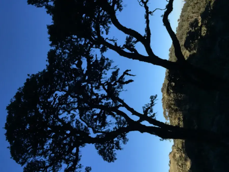
Nature
More places