Plizio Visual Lab
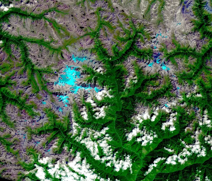
Kumon Bum Mountains
Weather…
Water temperature…
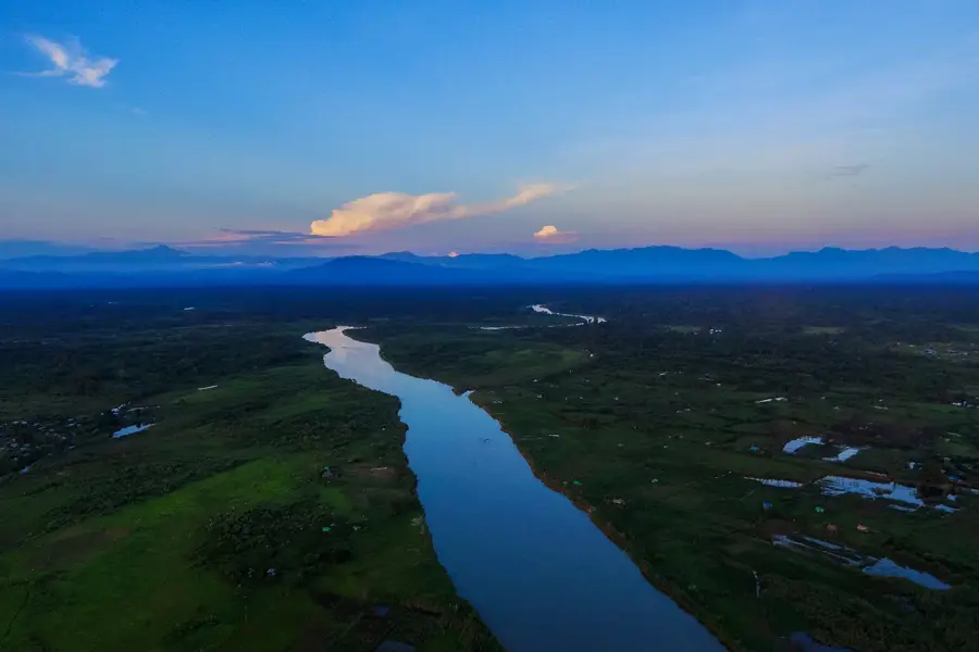
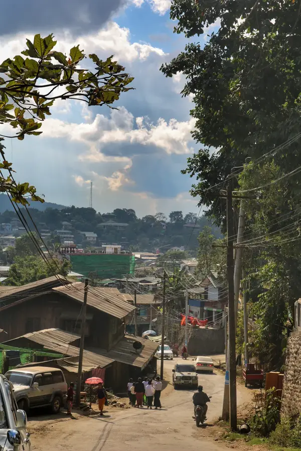
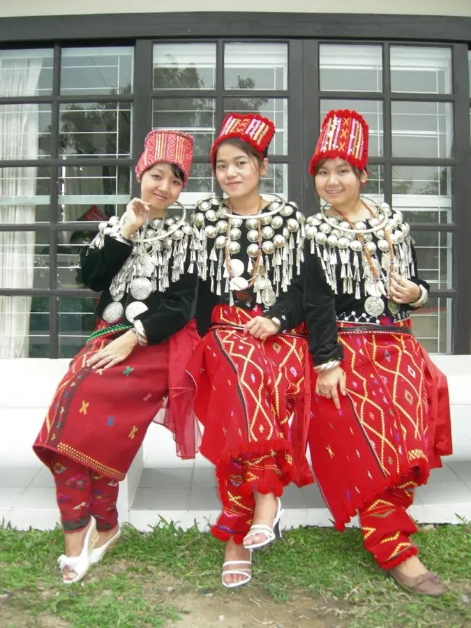
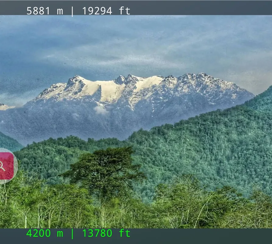
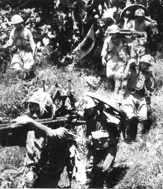
The Kumon Bum Mountains are a mountain range in northern Myanmar, stretching within Kachin State and serving as an important link between the Himalayas and Myanmar's central highlands. The range runs in a north-south direction and is characterized by extremely steep slopes and deeply cut gorges that make access difficult. With elevations often exceeding 3,000 meters, the Kumon Bum Mountains form a significant barrier to migration and climatic influences. Vegetation ranges from dense evergreen rainforests at lower elevations to alpine meadows in the summit regions. Historically, the mountains were a sanctuary for various minorities and played a role in the operations of the Chindits and other partisan groups during World War II. Today, the area is primarily known for its ecological importance, being part of the Irrawaddy river basin and harboring numerous rare plant species. Scientific expeditions to this remote region are rare due to logistical challenges but frequently lead to the discovery of new species.
- Location: Myanmar (Burma)
- Nearby: Pyin Oo Lwin (63 km)
Best time to visit & climate
The most pleasant time to visit is Feb, Mar, Nov.
| Jan | Feb | Mar | Apr | May | Jun | Jul | Aug | Sep | Oct | Nov | Dec | |
|---|---|---|---|---|---|---|---|---|---|---|---|---|
| Avg °C | 16 | 18 | 22 | 25 | 27 | 28 | 27 | 28 | 27 | 24 | 20 | 17 |
| Rain mm | 13 | 23 | 55 | 118 | 166 | 229 | 255 | 215 | 174 | 73 | 13 | 7 |
📋 Practical info
Geography
Facts
- The Kumon Bum Mountains reach elevations of over 3,400 meters.
- They are located entirely within Myanmar's Kachin State.
- The region is one of the rainiest areas in the country.
- The range separates the Hukaung Valley from the rest of Kachin State.
- During World War II, it was the site of intense jungle warfare.
- Scientists discovered a rare snub-nosed monkey species here as recently as 2010.
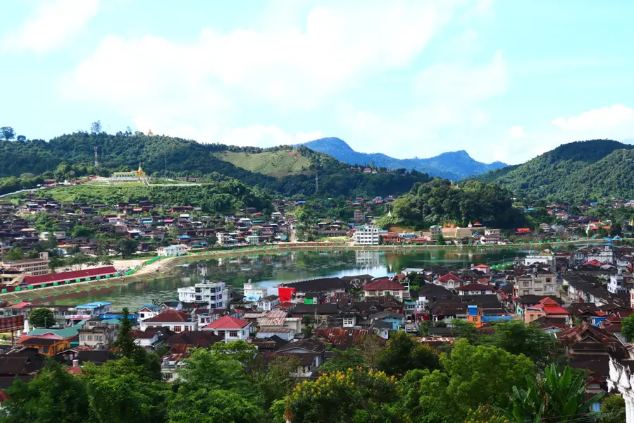
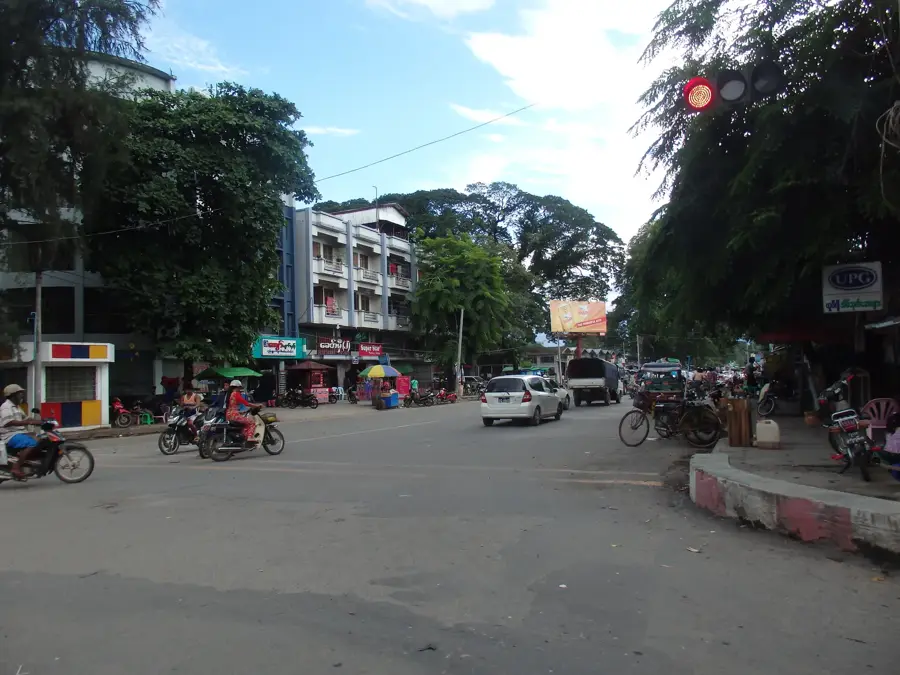
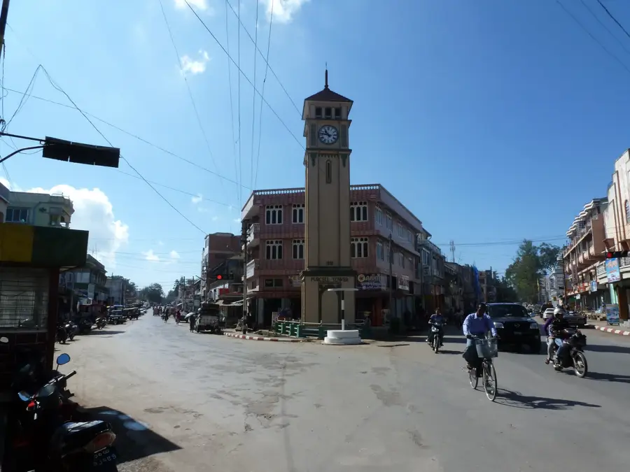
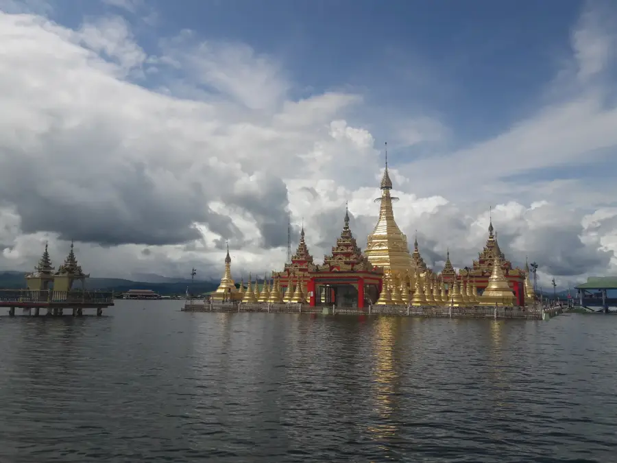
Explore nearby
Notable places around
Route planner — Car & Motorhome
Where do you start? We build the route here, with stops and country notes along the way.
© OpenStreetMap contributors · OpenRouteService
Sights nearby
Frequently asked questions
Is Kumon-Bum suitable for hikers?
What equipment do I need?
Is there food available there?
When is the best time for the tour?
Is photography allowed on site?
Kumon Bum Mountains: where is it located?
Kumon Bum Mountains: when is the best time to visit?
Kumon Bum Mountains: why is it worth visiting?

Nearby cities
Nature
More places