Plizio Visual Lab
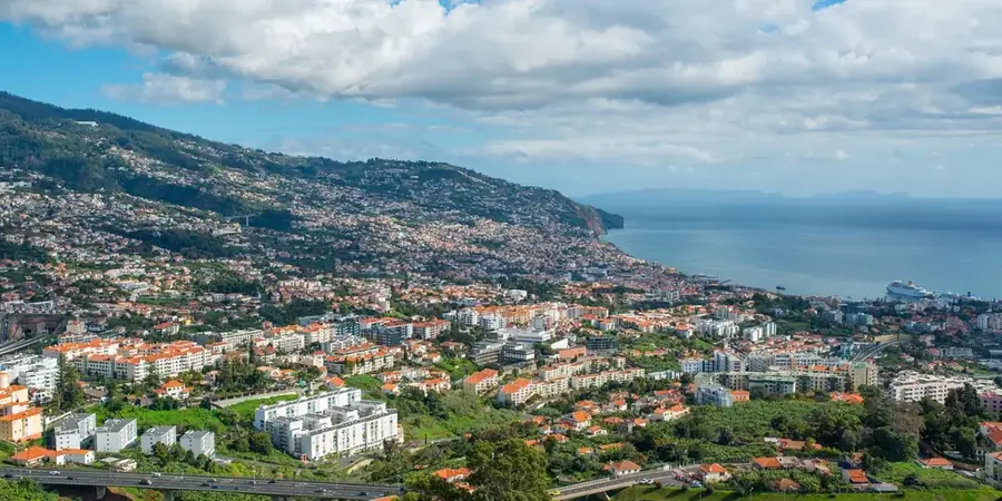
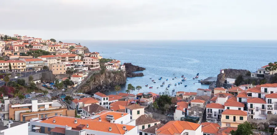
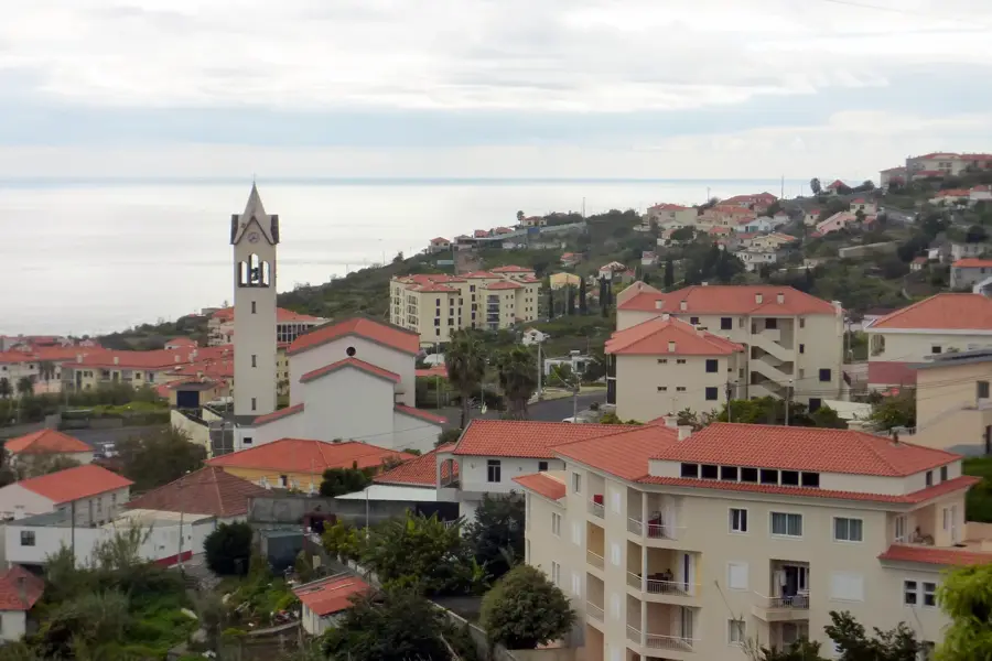
Madeira Laurisilva Forest
Weather…
Water temperature…
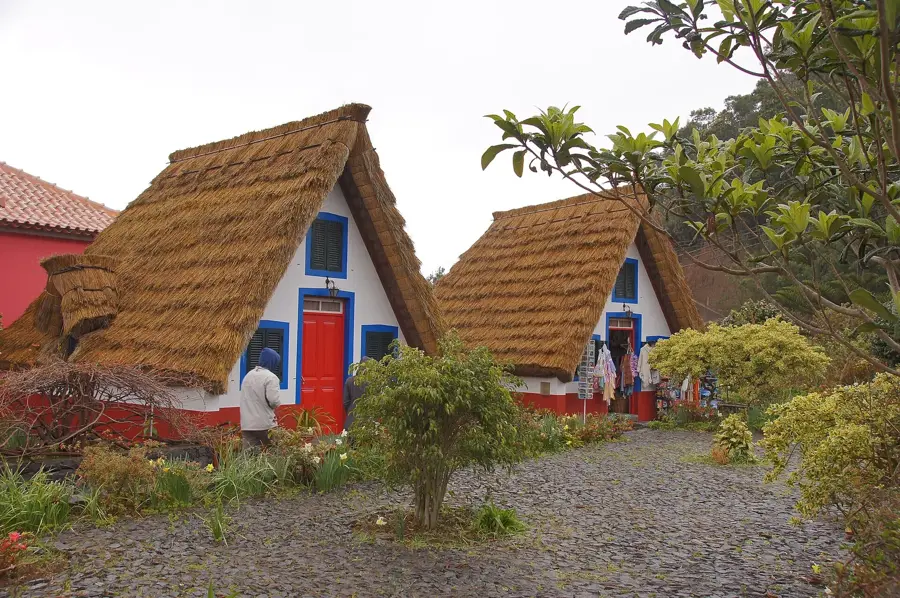
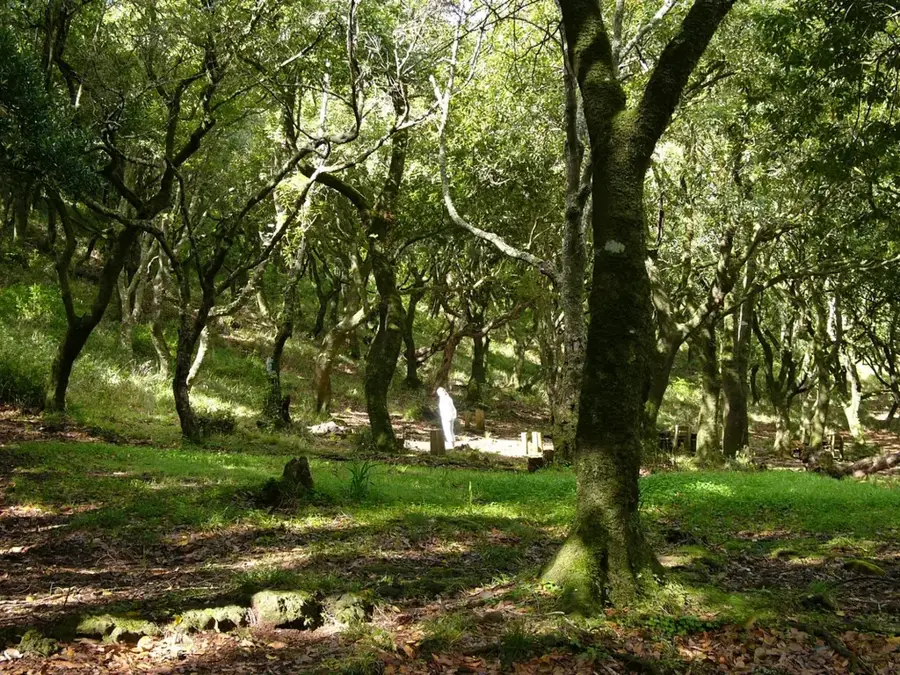
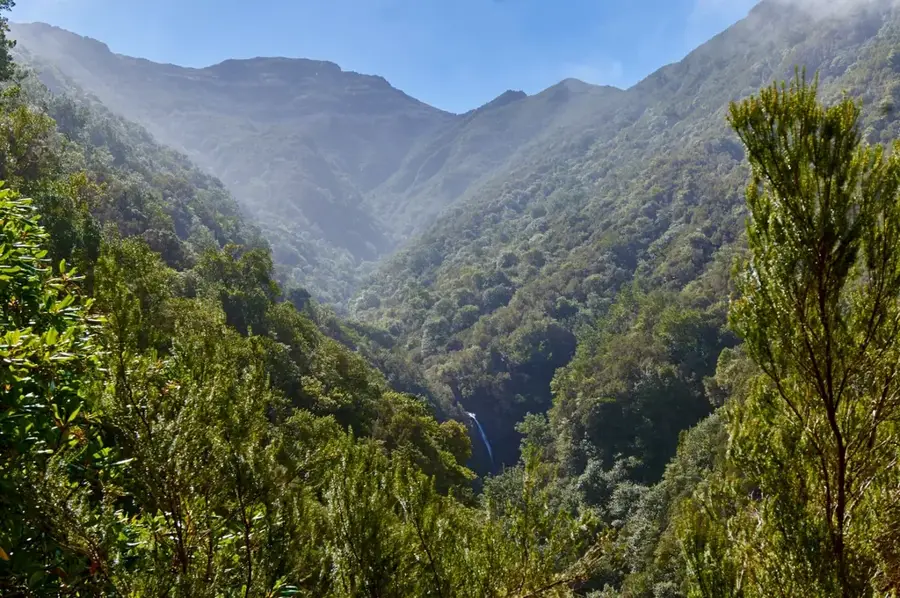
The Laurisilva Forest of Madeira is the largest surviving area of laurel forest in the world and was designated a UNESCO World Heritage site in 1999. This prehistoric forest is a living relic of the Tertiary period, when similar forests covered vast regions of Southern Europe and Northern Africa before they were nearly wiped out by successive ice ages. On Madeira, the forest has survived across approximately 15,000 hectares, covering about 20% of the island's total area, thanks to the mild oceanic climate. The ecosystem is characterized by evergreen trees from the laurel family, which are often draped in mosses, ferns, and lichens. The forest plays a fundamental role in the island's water cycle, as it captures moisture from the clouds and feeds the famous levadas, or irrigation channels, that distribute water across the island. It is also home to many endemic species, such as the Trocaz pigeon and the Madeira firecrest. The dense, often mist-covered vegetation creates a magical atmosphere for hikers exploring its many trails. Protecting this ecosystem is of global importance for preserving biological diversity and Earth's natural history.
- Location: Portugal
- Top sights: Madeira Natural Park · Boca da Encumeada · Pico da Murta
Best time to visit & climate
The most pleasant time to visit is Jun–Aug.
| Jan | Feb | Mar | Apr | May | Jun | Jul | Aug | Sep | Oct | Nov | Dec | |
|---|---|---|---|---|---|---|---|---|---|---|---|---|
| Avg °C | 17 | 17 | 17 | 17 | 18 | 20 | 22 | 23 | 23 | 22 | 20 | 18 |
| Rain mm | 32 | 38 | 40 | 26 | 16 | 8 | 4 | 6 | 18 | 38 | 43 | 45 |
📋 Practical info
Geography
Facts
- Declared a UNESCO World Heritage site in December 1999.
- Approximately 90% of the forest is considered untouched primary forest.
- Primary habitat for the endemic Trocaz pigeon (Columba trocaz).
- Covers an area of roughly 15,000 hectares on Madeira Island.
- Some individual laurel trees are estimated to be over 500 years old.
- The forest collects an estimated 150 million cubic meters of water annually.
Explore nearby
Notable places around
Route planner — Car & Motorhome
Where do you start? We build the route here, with stops and country notes along the way.
© OpenStreetMap contributors · OpenRouteService
Sights in the town Madeira Laurisilva Forest (4)
Sights nearby
Frequently asked questions
What is the Laurisilva forest?
Where on Madeira can you find it?
How best to explore the forest?
What plants grow there?
Is it often damp there?
Madeira Laurisilva Forest: where is it located?
Madeira Laurisilva Forest: what is there to see?
Madeira Laurisilva Forest: when is the best time to visit?
Madeira Laurisilva Forest: why is it worth visiting?

Nearby cities