Plizio Visual Lab
Gaza Plain

Weather…
Water temperature…
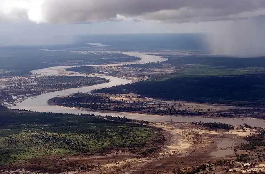
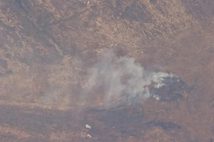
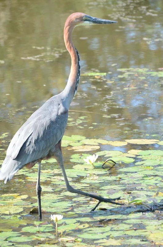
The Gaza Plain in southern Mozambique is a vast, low-lying coastal and alluvial region predominantly shaped by the Limpopo River basin. Geographically, it extends from the Indian Ocean coastline deep into the interior, forming a major part of the Mozambican lowlands. The terrain features gentle coastal dunes and expansive, fertile alluvial soils along the river floodplains. These productive soils make the region one of the nation's most critical agricultural zones, particularly for rice cultivation and cattle ranching. Historically, the plain was the heartland of the Gaza Empire, a powerful 19th-century Nguni state that resisted Portuguese colonial expansion. The climate is semi-arid with erratic rainfall, making the region susceptible to extreme weather events such as prolonged droughts and severe flooding. The Limpopo National Park, which forms part of a transfrontier conservation area with South Africa's Kruger National Park, is central to the region's environmental protection efforts.
- Location: Mozambique
- Nearby: Chókwè (50 km)
Best time to visit & climate
The most pleasant time to visit is Jun–Aug.
| Jan | Feb | Mar | Apr | May | Jun | Jul | Aug | Sep | Oct | Nov | Dec | |
|---|---|---|---|---|---|---|---|---|---|---|---|---|
| Avg °C | 28 | 28 | 27 | 25 | 23 | 20 | 20 | 22 | 25 | 27 | 28 | 29 |
| Rain mm | 126 | 94 | 82 | 53 | 15 | 21 | 13 | 7 | 11 | 28 | 63 | 117 |
📋 Practical info
Geography
Facts
- The plain is primarily drained by the 1,750 km long Limpopo River.
- Xai-Xai serves as the region's most important economic hub.
- The Gaza Empire was established by Soshangane in 1824.
- The region is frequently impacted by Indian Ocean cyclones.
- Limpopo National Park covers approximately 10,000 km².
- The soils consist of rich sediments transported from the interior.
Explore nearby
Notable places around
Route planner — Car & Motorhome
Where do you start? We build the route here, with stops and country notes along the way.
© OpenStreetMap contributors · OpenRouteService
Sights nearby
Frequently asked questions
How difficult is hiking in the Gaza-Ebene?
When is the best time to visit?
Are there sanitary facilities nearby?
Is parking safe in the Gaza-Ebene?
Should one expect extreme weather risks?
Gaza Plain: where is it located?
Gaza Plain: when is the best time to visit?
Gaza Plain: why is it worth visiting?