Plizio Visual Lab
Limpopo National Park
Weather…
Water temperature…
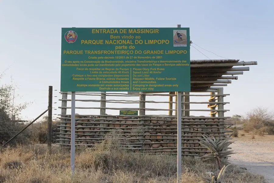
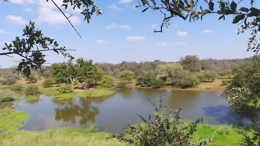
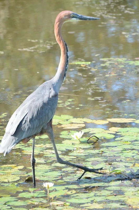
Limpopo National Park covers approximately 1,123,300 hectares in southwestern Mozambique, forming a vital component of the Great Limpopo Transfrontier Park. Originally designated as a hunting concession known as Coutada 16 in 1932, it was officially upgraded to national park status on November 27, 2001. The terrain is characterized by vast mopane woodlands, sandveld communities, and the alluvial plains of the Shingwedzi River, which provide essential habitats for diverse wildlife. It serves as a strategic corridor for the movement of large mammals, including elephants, lions, and buffalo, between South Africa's Kruger National Park and Zimbabwe's Gonarezhou National Park. Extensive rewilding efforts and community resettlement programs have been implemented to restore ecological balance and mitigate human-wildlife conflict. Today, the park is a focal point for transboundary conservation initiatives and sustainable ecotourism development in Gaza Province, offering visitors a rugged and authentic wilderness experience while protecting regional biodiversity.
- Location: Mozambique
- Nearby: Massingir (26 km)
Best time to visit & climate
The most pleasant time to visit is May, Jun, Aug.
| Jan | Feb | Mar | Apr | May | Jun | Jul | Aug | Sep | Oct | Nov | Dec | |
|---|---|---|---|---|---|---|---|---|---|---|---|---|
| Avg °C | 28 | 28 | 27 | 25 | 22 | 20 | 20 | 22 | 25 | 27 | 28 | 29 |
| Rain mm | 119 | 82 | 74 | 42 | 12 | 15 | 10 | 6 | 11 | 27 | 62 | 126 |
📋 Practical info
Geography
Facts
- Covers an area of 11,233 square kilometers.
- Established as a national park in November 2001.
- Forms part of the Great Limpopo Transfrontier Park.
- Shares a long border with Kruger National Park.
- Features the Shingwedzi River as a primary water source.
- Managed as a key biodiversity corridor in Southern Africa.
Explore nearby
Notable places around
Route planner — Car & Motorhome
Where do you start? We build the route here, with stops and country notes along the way.
© OpenStreetMap contributors · OpenRouteService
Sights nearby
Frequently asked questions
Which animals are seen most often?
Is a 4x4 needed?
Are there camping options?
When does the park close?
Do you need a visa for the park?
Limpopo National Park: where is it located?
Limpopo National Park: when is the best time to visit?
Limpopo National Park: why is it worth visiting?