Plizio Visual Lab
Pemba Bay

Weather…
Water temperature…
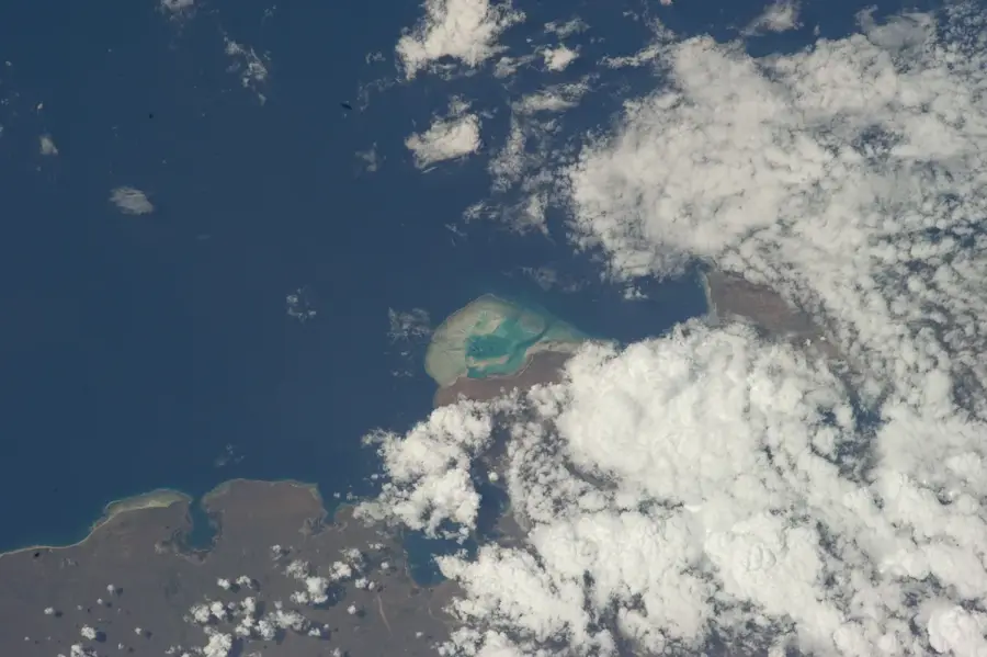
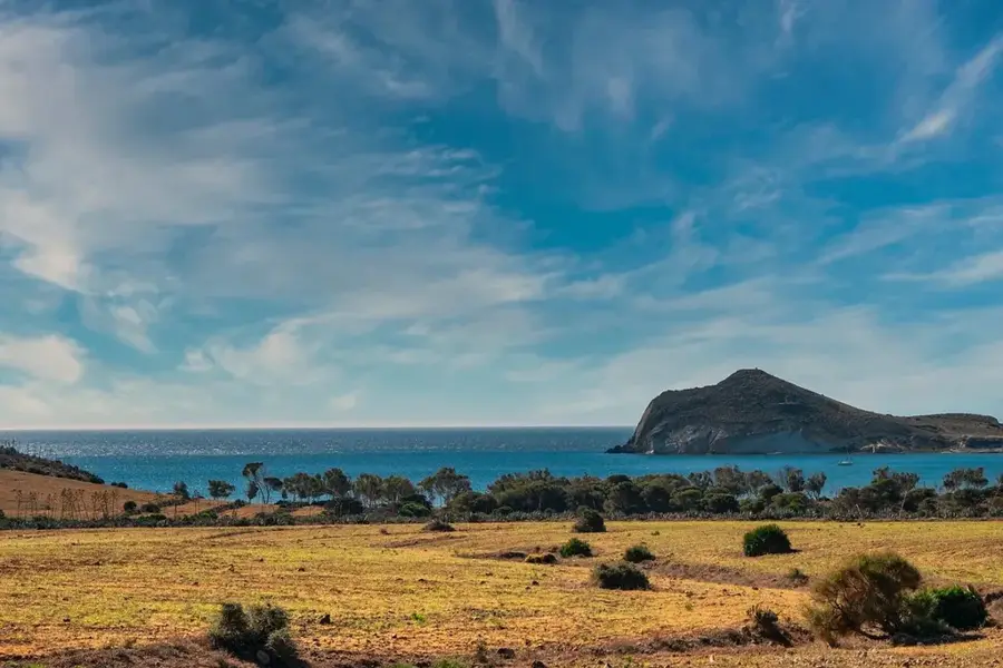
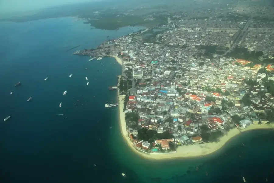
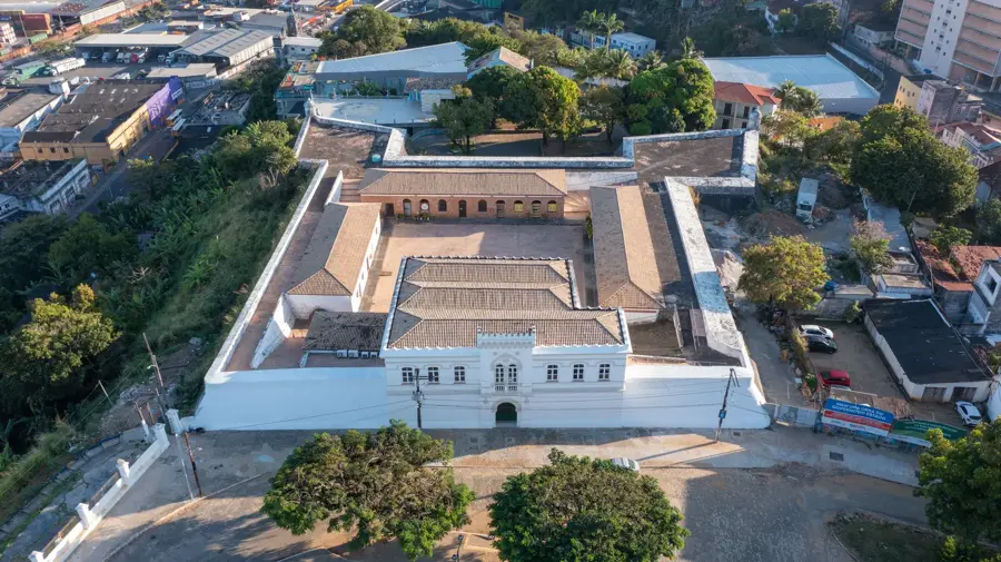
Pemba Bay, situated in the Cabo Delgado Province of northern Mozambique, is celebrated as one of the largest and deepest natural harbors in the world. Geographically, it forms a vast, nearly landlocked basin connected to the Indian Ocean by a narrow inlet, providing exceptional shelter for maritime activities. The city of Pemba lines the southern shores of the bay, evolving from a traditional Swahili settlement into a major hub for international logistics and tourism. The bay's crystal-clear waters and lively coral reefs make it a premier destination for marine research and underwater exploration. In recent years, the discovery of massive offshore natural gas reserves in the nearby Rovuma Basin has transformed Pemba into a focal point of global energy interests. Despite this industrial push, the bay maintains its ecological significance, supporting diverse fish populations and serving as the gateway to the pristine Quirimbas Archipelago National Park.
- Location: Mozambique
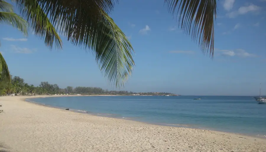
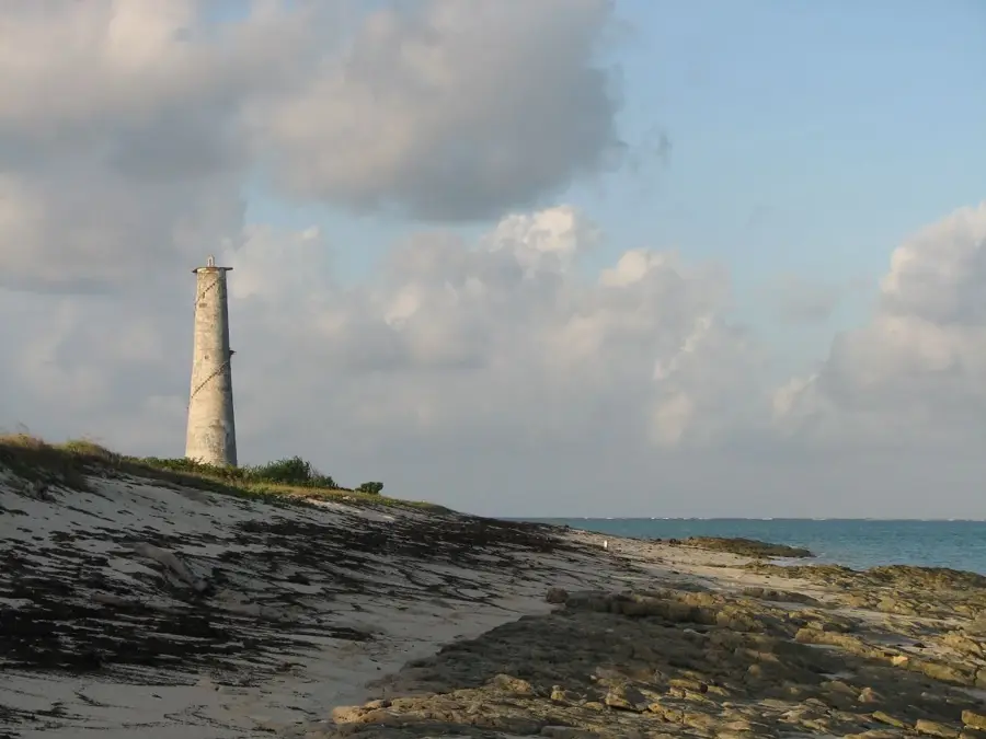
- Top sights: Turtle Beach · Farol da Ponta Said Ali
- Nearby: Quirimba Island (41 km)
Best time to visit & climate
The most pleasant time to visit is Jul–Sep.
| Jan | Feb | Mar | Apr | May | Jun | Jul | Aug | Sep | Oct | Nov | Dec | |
|---|---|---|---|---|---|---|---|---|---|---|---|---|
| Avg °C | 27 | 27 | 27 | 27 | 26 | 25 | 24 | 25 | 25 | 26 | 28 | 28 |
| Rain mm | 297 | 236 | 192 | 147 | 27 | 32 | 21 | 19 | 13 | 17 | 34 | 139 |
📋 Practical info
Geography
Facts
- Ranked among the largest and deepest natural bays globally.
- Formerly known as Porto Amélia during the colonial period.
- Strategic logistics base for offshore natural gas projects.
- Home to diverse coral reefs and significant marine life.
- Narrow entrance provides unique protection for the inner harbor.
- Serves as the main gateway to the Quirimbas Archipelago.
Explore nearby
Notable places around
Route planner — Car & Motorhome
Where do you start? We build the route here, with stops and country notes along the way.
© OpenStreetMap contributors · OpenRouteService
Sights in the town Pemba Bay (2)
Sights nearby
Frequently asked questions
Is Pemba Bay suitable for diving?
Are there accommodations for tourists?
What is the best season for Pemba?
Is the bay family-friendly?
Is there boat rental?
Pemba Bay: where is it located?
Pemba Bay: what is there to see?
Pemba Bay: when is the best time to visit?
Pemba Bay: why is it worth visiting?

Nearby cities

History & landmarks
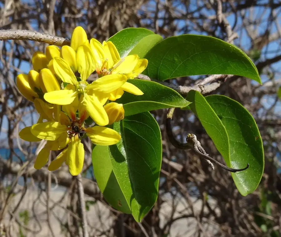
Nature
More places