Plizio Visual Lab
Khentii Mountains

Weather…
Water temperature…
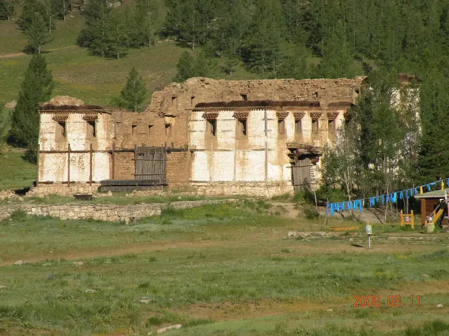
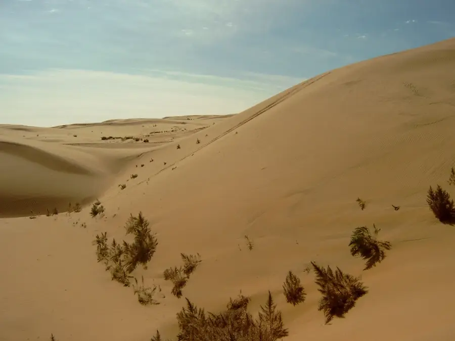
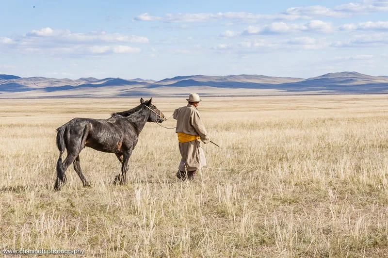
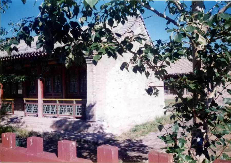
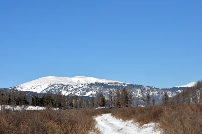
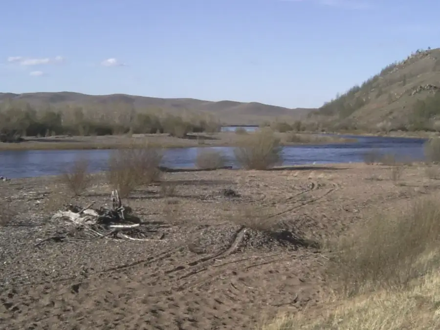
The Khentii Mountains are located in northeastern Mongolia and extend to the Russian border, where they transition into the Yablonovyy Mountains. The region is characterized by dense taiga vegetation and hosts the sources of three major rivers: the Onon, Kherlen, and Tuul. Geographically, the range marks the transition between the Siberian taiga and the Central Asian steppe. The Khentii range is of immense historical and spiritual significance, regarded as the heartland of the Mongol Empire and home to the sacred Burkhan Khaldun mountain. This area has been designated a UNESCO World Heritage site and is believed to be the burial location of Genghis Khan. The flora and fauna are exceptionally diverse due to the region's remoteness and strict protection, featuring brown bears, moose, and various birds of prey. The harsh climate, with long and cold winters, shapes the local environment. Today, the focus of national efforts is on preserving the pristine wilderness and its cultural monuments.
- Location: Mongolia
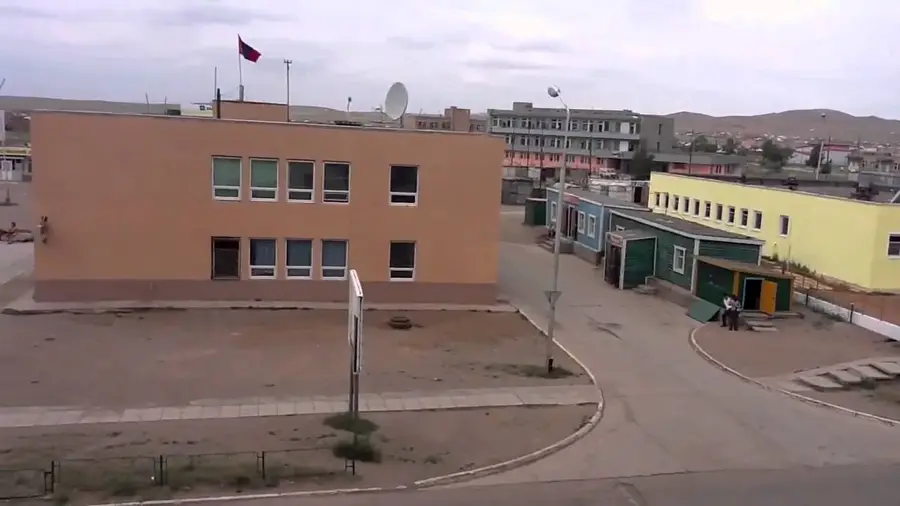
- Nearby: Gun-Galuut (38 km)
Best time to visit & climate
The most pleasant time to visit is Jun–Aug.
| Jan | Feb | Mar | Apr | May | Jun | Jul | Aug | Sep | Oct | Nov | Dec | |
|---|---|---|---|---|---|---|---|---|---|---|---|---|
| Avg °C | -21 | -19 | -10 | -1 | 6 | 13 | 16 | 13 | 6 | -2 | -12 | -19 |
| Rain mm | 3 | 5 | 7 | 12 | 32 | 60 | 85 | 71 | 32 | 14 | 7 | 5 |
📋 Practical info
Geography
Facts
- The range is home to the sacred Burkhan Khaldun mountain.
- It hosts the sources of the Onon, Kherlen, and Tuul rivers.
- The region is a designated UNESCO World Heritage site.
- It forms a divide between Arctic and Pacific watersheds.
- The vegetation consists mainly of dense Siberian taiga.
- It is considered the heartland of the historical Mongol Empire.
Explore nearby
Notable places around
Route planner — Car & Motorhome
Where do you start? We build the route here, with stops and country notes along the way.
© OpenStreetMap contributors · OpenRouteService
Sights nearby
Frequently asked questions
How difficult is hiking in the Khentii Mountains?
What is the best season to visit?
Are there sanitary facilities in the wilderness?
Do you need a permit for the area?
What are the weather risks?
Khentii Mountains: where is it located?
Khentii Mountains: when is the best time to visit?
Khentii Mountains: why is it worth visiting?

Nearby cities

History & landmarks
Nature
More places