Plizio Visual Lab
Sierra Madre del Sur
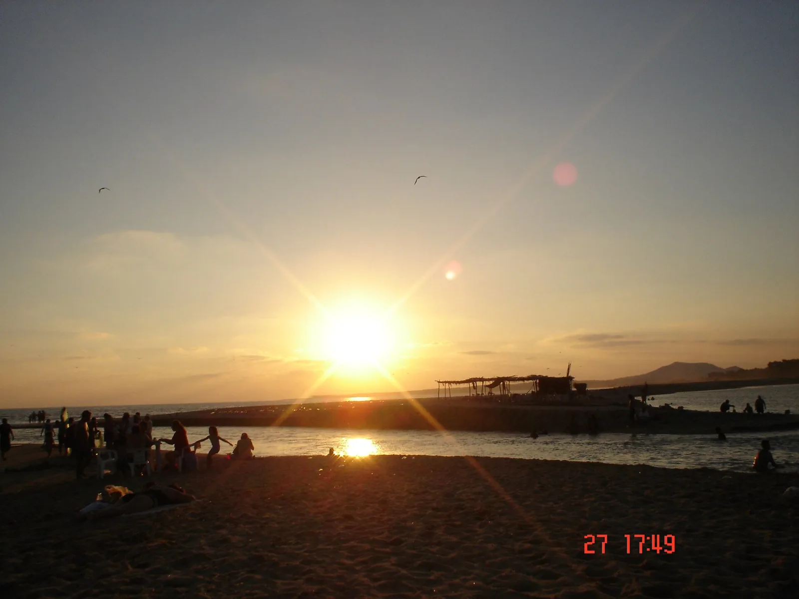
Weather…
Water temperature…
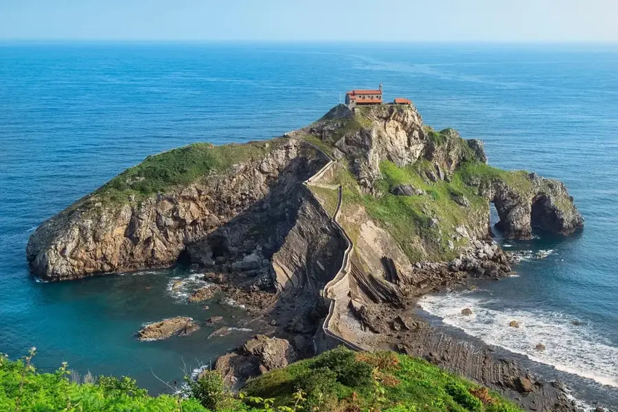
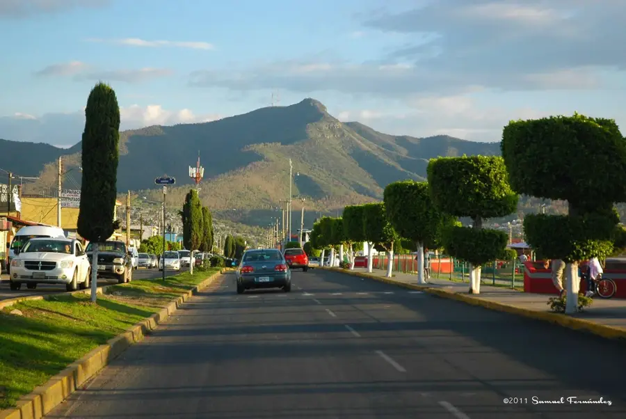
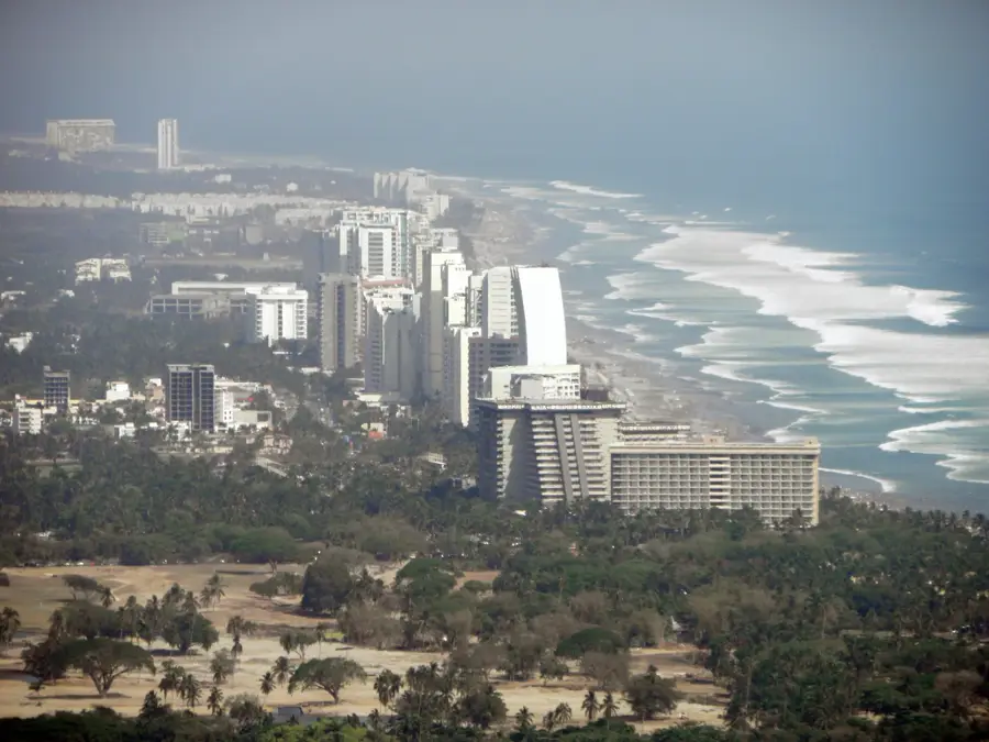
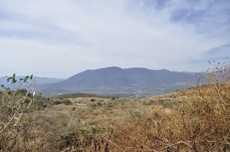
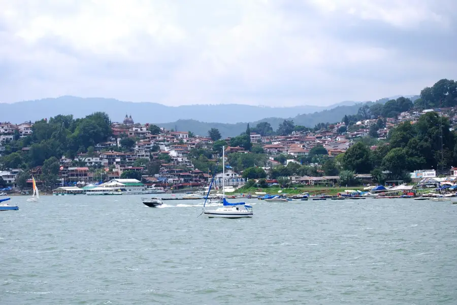
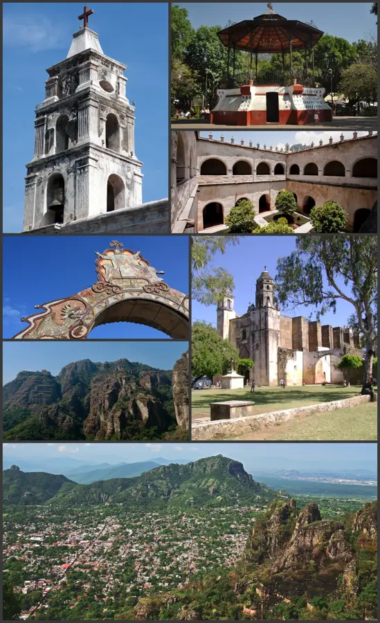
The Sierra Madre del Sur is a major mountain system in southern Mexico, stretching approximately 1,200 kilometers parallel to the Pacific coast from Michoacán to the Isthmus of Tehuantepec. Geologically complex, the range is primarily composed of Precambrian and Paleozoic metamorphic and plutonic rocks, distinguishing it from the volcanic belts to the north. Its highest elevations exceed 3,700 meters, with Cerro Teotepec in Guerrero serving as the most prominent peak. The region is renowned for its immense biodiversity and extensive cloud forests, which harbor numerous endemic species. Topographically, the mountains are characterized by deep canyons and rugged slopes that have historically hindered the development of transportation infrastructure. The climate varies significantly based on elevation and aspect, ranging from tropical coastal conditions to cool highland climates. Currently, the Sierra Madre del Sur is a focal point for conservation efforts.
- Location: Mexico
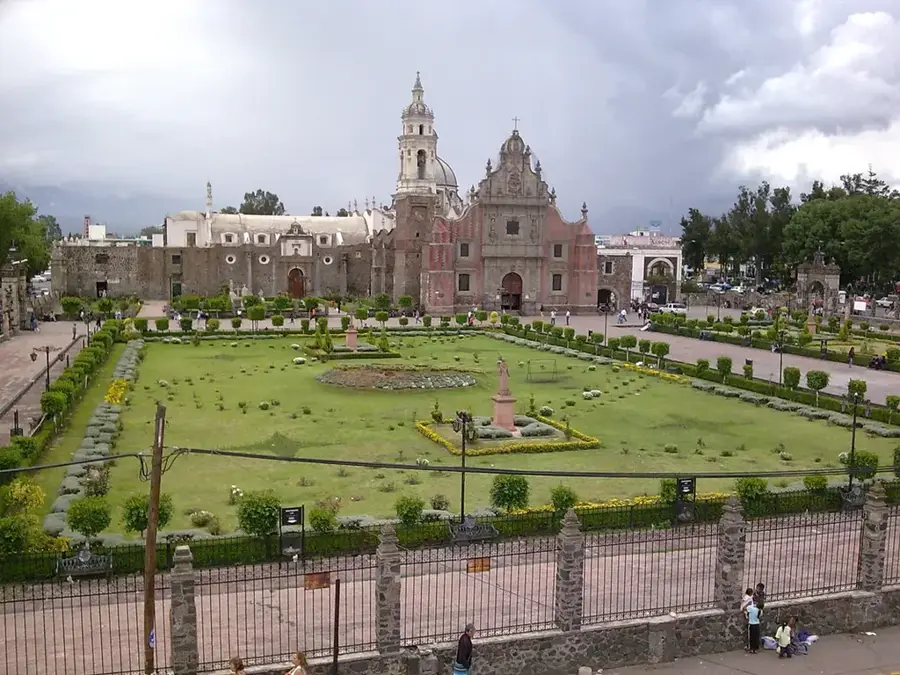
- Nearby: Cuautla (23 km)
Best time to visit & climate
The most pleasant time to visit is Feb, Mar, Dec.
| Jan | Feb | Mar | Apr | May | Jun | Jul | Aug | Sep | Oct | Nov | Dec | |
|---|---|---|---|---|---|---|---|---|---|---|---|---|
| Avg °C | 18 | 20 | 21 | 23 | 23 | 21 | 21 | 21 | 20 | 20 | 19 | 18 |
| Rain mm | 6 | 5 | 7 | 14 | 72 | 198 | 177 | 204 | 230 | 95 | 18 | 3 |
📋 Practical info
Geography
Facts
- Spans 1,200 kilometers from Michoacán to Tehuantepec.
- Cerro Teotepec is the highest peak at 3,703 meters.
- Formed largely from Precambrian and Paleozoic metamorphic rocks.
- Separated from the Trans-Mexican Volcanic Belt by the Balsas Depression.
- Contains over 3,000 species of vascular plants, many endemic.
- Major coffee-producing region due to the favorable mountain climate.
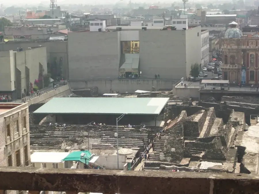
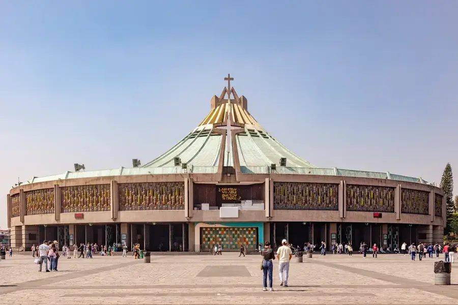
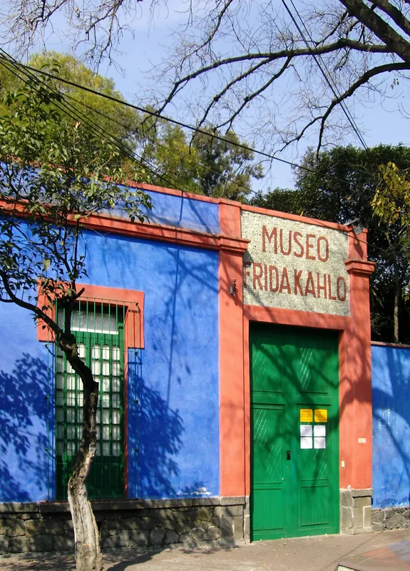
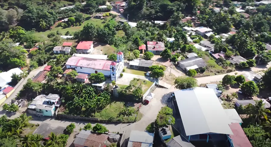
Explore nearby
Notable places around
Route planner — Car & Motorhome
Where do you start? We build the route here, with stops and country notes along the way.
© OpenStreetMap contributors · OpenRouteService
Sights nearby
Frequently asked questions
How difficult are the hikes?
Is there accommodation in the mountains?
Is parking possible there?
What is the weather like in the Sierra?
Are there places to eat?
Sierra Madre del Sur: where is it located?
Sierra Madre del Sur: when is the best time to visit?
Sierra Madre del Sur: why is it worth visiting?

Nearby cities


More places