Plizio Visual Lab
Sierra de Guadalupe
Weather…
Water temperature…
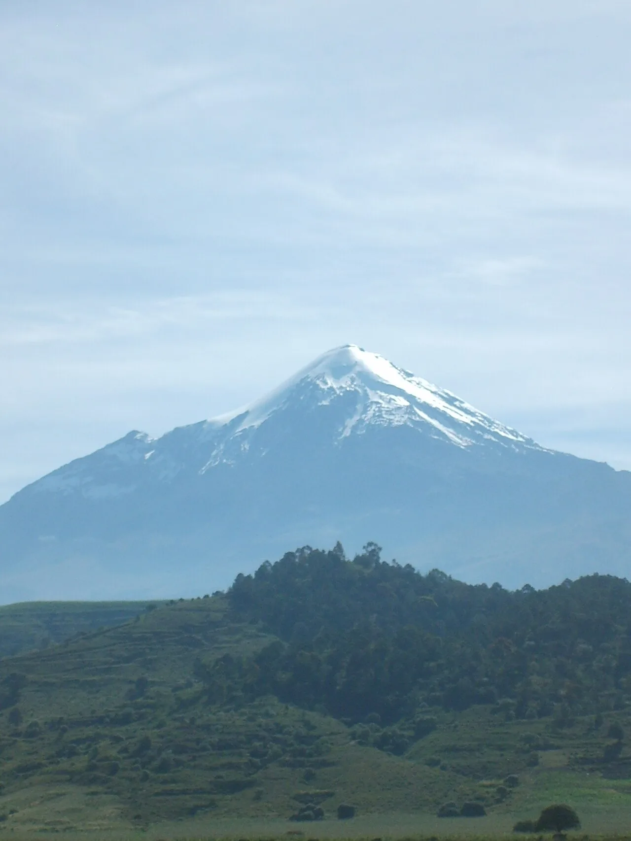
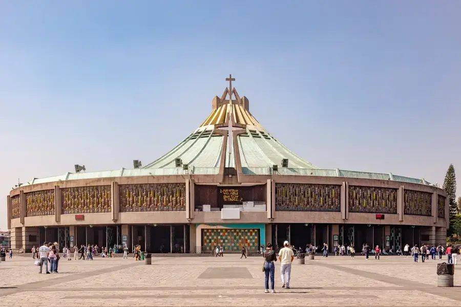
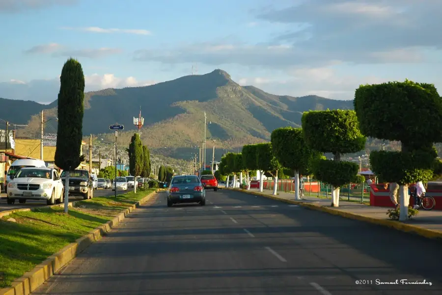
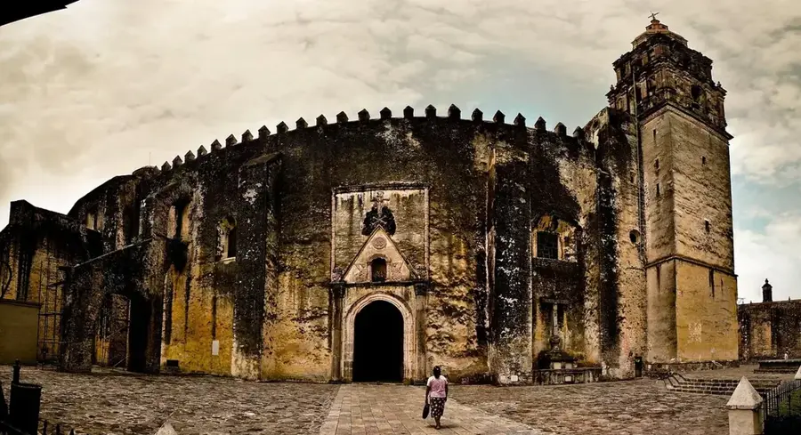
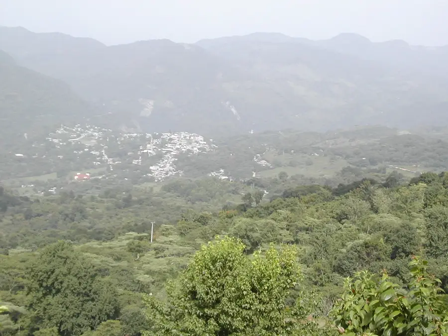
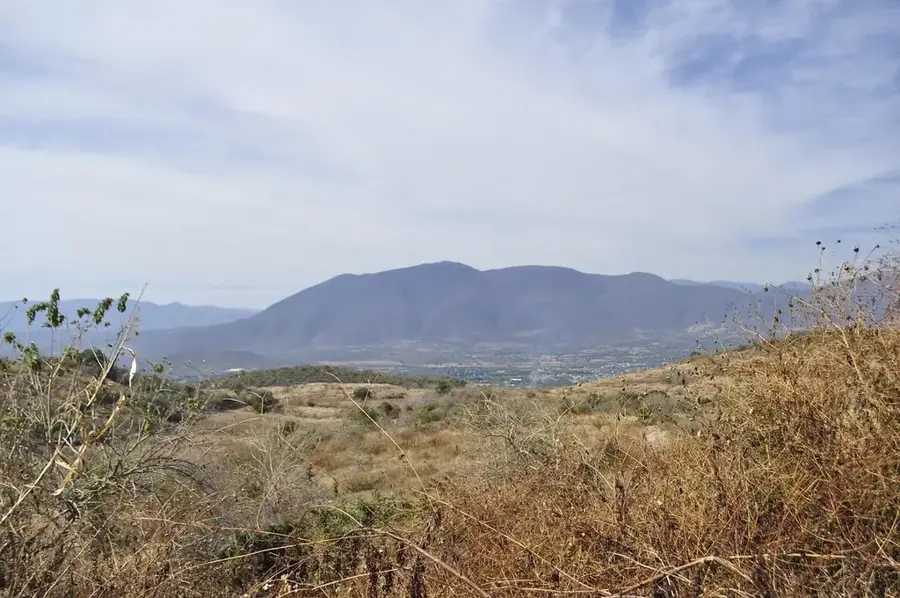
The Sierra de Guadalupe is a small mountain range of volcanic origin in the northern Valley of Mexico, spanning parts of Mexico City and the State of Mexico. This extinct volcanic chain acts as a vital ecological barrier and a 'green lung' for the densely populated metropolitan area. Geologically, it is composed of andesitic and dacitic rocks formed during the Tertiary period. Despite heavy urban pressure and encroaching settlements, a large portion of the Sierra is designated as a state-protected natural area to preserve local biodiversity and watersheds. Historically, the range is closely tied to Mexico's religious identity, as the Basilica of Our Lady of Guadalupe, one of the world's most significant pilgrimage sites, is located at the foot of the Cerro del Tepeyac. The landscape features rugged slopes that turn green during the summer rains, offering spectacular views of the entire Basin of Mexico.
- Location: Mexico
- Top sights: Museo Jurásica · borrego · Museo del Mamut
- Nearby: Nezahualcóyotl (10 km)
Best time to visit & climate
The most pleasant time to visit is Mar–May.
| Jan | Feb | Mar | Apr | May | Jun | Jul | Aug | Sep | Oct | Nov | Dec | |
|---|---|---|---|---|---|---|---|---|---|---|---|---|
| Avg °C | 10 | 12 | 14 | 16 | 17 | 16 | 15 | 15 | 14 | 13 | 11 | 11 |
| Rain mm | 14 | 14 | 21 | 31 | 61 | 148 | 150 | 157 | 171 | 88 | 30 | 12 |
📋 Practical info
Geography
Facts
- Pico Tres Padres is the highest peak in the range at 3,000 meters.
- The protected area covers approximately 6,300 hectares.
- The Sierra is home to over 130 species of vertebrates.
- Cerro del Tepeyac is the most historically significant point of the range.
- The range serves as a natural climate regulator for northern Mexico City.
- Volcanic activity in the range ceased approximately 14 million years ago.
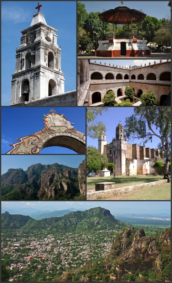
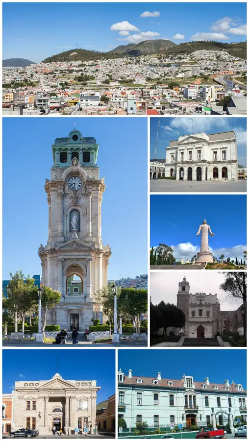
Explore nearby
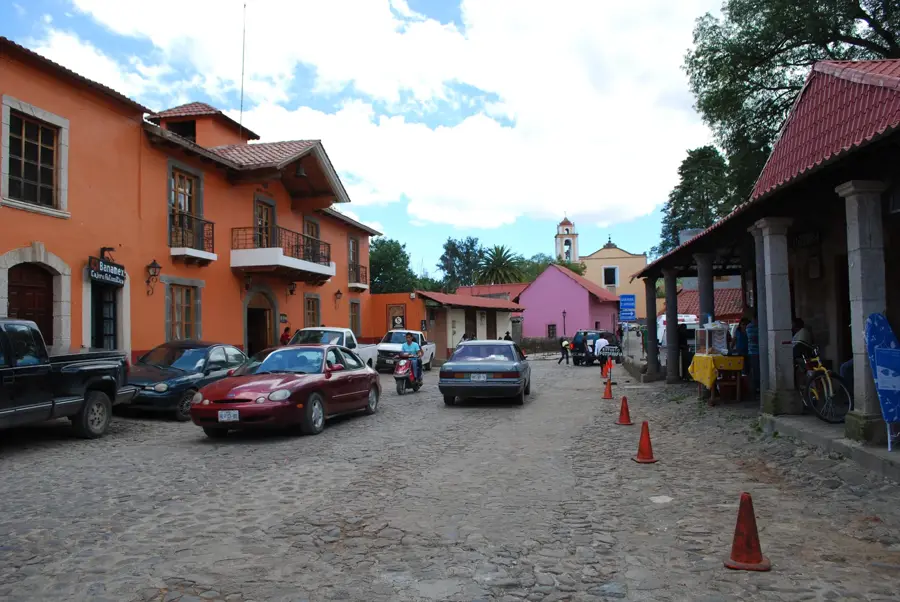
Notable places around
Route planner — Car & Motorhome
Where do you start? We build the route here, with stops and country notes along the way.
© OpenStreetMap contributors · OpenRouteService
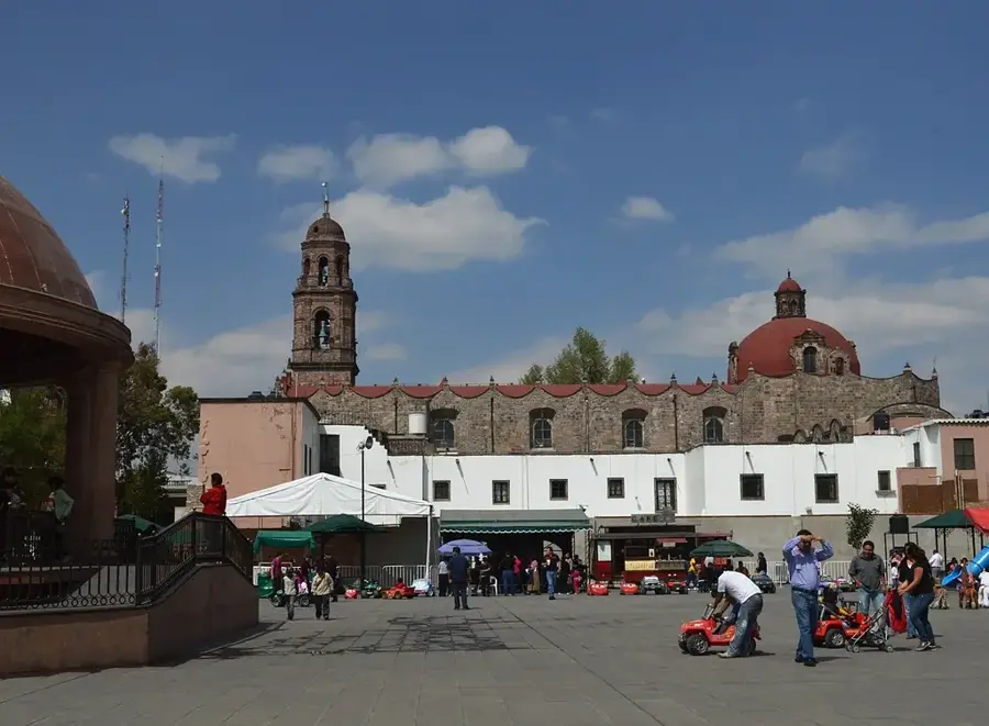
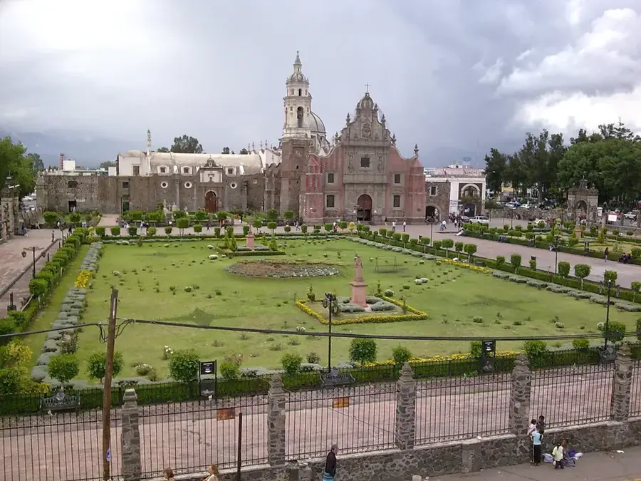
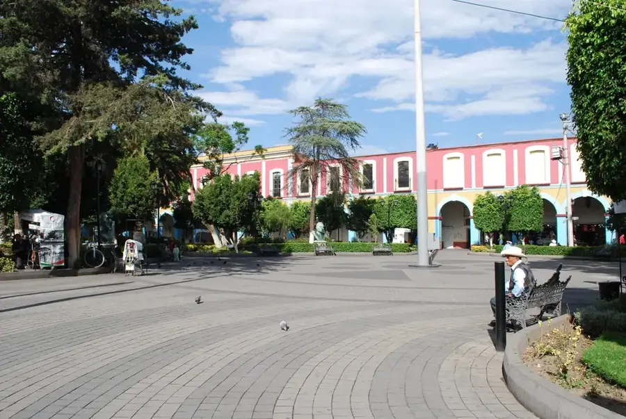
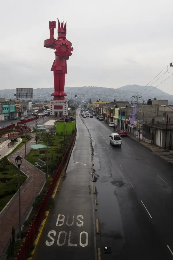
Sights in the town Sierra de Guadalupe (8)
Sights nearby
Frequently asked questions
Is the Sierra easily accessible?
Are there hiking trails?
When is best?
Is it safe?
Is there food available?
Sierra de Guadalupe: where is it located?
Sierra de Guadalupe: what is there to see?
Sierra de Guadalupe: when is the best time to visit?
Sierra de Guadalupe: why is it worth visiting?

Nearby cities
History & landmarks
More places