Plizio Visual Lab
Moudjéria-Nord
ℹ️Practical info — Moudjéria-Nord
▾
🌤 Weather — 5 days
📍 Nearby
Sights nearby
💡 Tips
- Stop at the top of the Moudjéria Pass for the best panoramic view over the Erg Aouker dunes.
- A 4x4 is essential for visiting Guelta Matmata or the ruins of Ksar el Barka off the main road.
- Stargazing on the plateau is world-class due to the total absence of light pollution.
- Stock up on supplies in Aleg or Tidjikja; Moudjéria has only very basic shops.
- When driving the pass, watch out for sand drifts on the asphalt and slow-moving trucks in tight bends.
🍽 Food
The classic dish of the Tagant Plateau, served with local vegetables and tender meat.
Often prepared over an open fire, this is a celebratory meal during local festivities.
Traditionally pit-roasted meat that is exceptionally tender and flavorful.
🛍 Shopping · 🧘 Quiet spots
After winter rains, you can often find this delicacy sold by traders along the roadside.
Look for traditional acacia wood bowls, used in nomad households across the plateau.
The prime spot for sunset, when the dunes below are bathed in golden light.
A hidden rock pool oasis, known as one of the last habitats for rare Saharan crocodiles.
Water temperature…
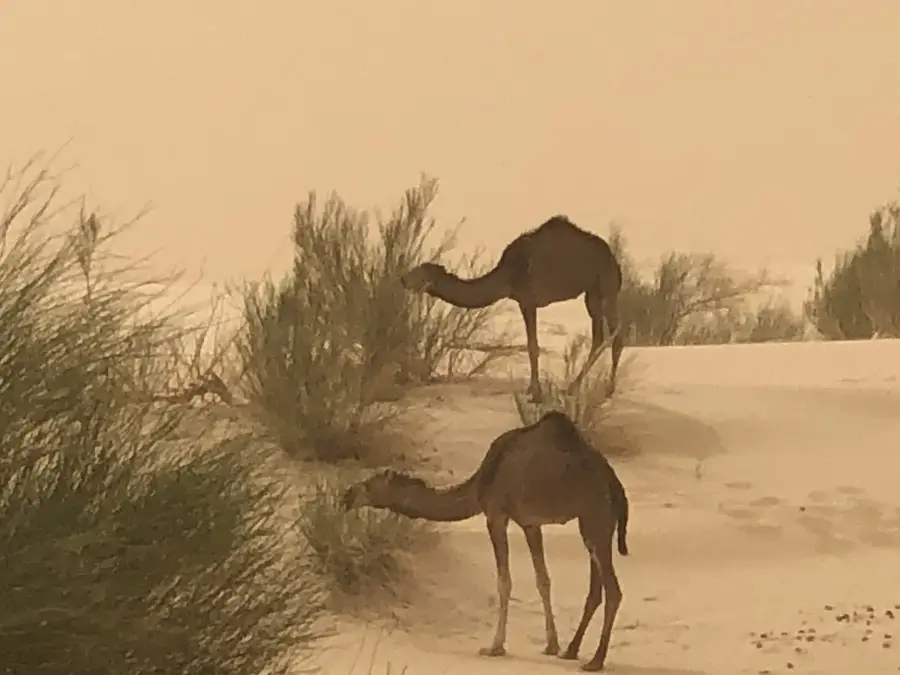
Moudjéria-Nord is situated on the Tagant Plateau in central Mauritania, acting as a northern gateway to one of the country's most rugged and geologically fascinating regions. The town is located along a key transit route that connects the coastal plains with the interior highlands, making it a strategic stop for travelers on the Route de l'Espoir. The surrounding landscape is defined by dramatic cliffs and steep escarpments that rise sharply from the desert floor. Life in Moudjéria-Nord follows traditional Saharan rhythms, with the local economy centered on livestock herding and regional trade. The architecture is simple and functional, designed to withstand the intense desert heat and the winds of the plateau. Visitors often remember the town for the nearby Moudjéria Pass, a winding road that features sweeping views of the vast plains below, showcasing the stark transition from the flat sands to the rocky heights of the Tagant.
- Location: Mauritania
- Population: ~1.899 (2025)
Best time to visit & climate
The most pleasant time to visit is Jan, Feb, Dec.
| Jan | Feb | Mar | Apr | May | Jun | Jul | Aug | Sep | Oct | Nov | Dec | |
|---|---|---|---|---|---|---|---|---|---|---|---|---|
| Avg °C | 21 | 24 | 27 | 31 | 34 | 36 | 33 | 32 | 32 | 31 | 27 | 23 |
| Rain mm | 1 | 1 | 1 | 1 | 1 | 7 | 44 | 87 | 54 | 36 | 1 | 0 |
Geography
Facts
- Population: 3,200 (2023 estimate)
- Elevation: 250 m
- Wind farm capacity: 5 MW
- Number of turbines: 10
- Area: 15 km²
- Founded: 1970
Explore nearby
Notable places around
Route planner — Car & Motorhome
Where do you start? We build the route here, with stops and country notes along the way.
© OpenStreetMap contributors · OpenRouteService
Frequently asked questions
How long for Moudjéria-Nord?
When is the best visit?
How to get there?
What is there to eat locally?
Is it family-friendly?
Moudjéria-Nord: where is it located?
Moudjéria-Nord: when is the best time to visit?
Moudjéria-Nord: why is it worth visiting?

Nearby cities


