Plizio Visual Lab
Maghama
ℹ️Practical info — Maghama
▾
🌤 Weather — 5 days
📍 Nearby
Sights nearby
💡 Tips
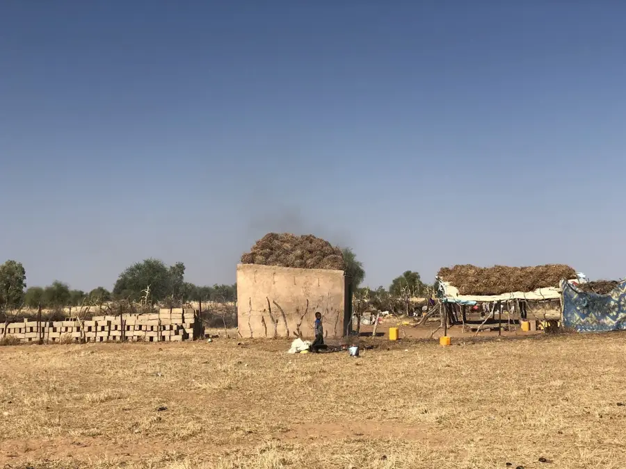
- Expect very basic infrastructure; Maghama is an authentic destination for travelers seeking real Mauritanian rural life.
- Visit the agricultural fields along the Senegal River to see the traditional farming methods of the local Halpulaar community.
- Carry sufficient cash and fuel, as ATMs and reliable gas stations are scarce in this remote border region.
- Always ask for permission before photographing people or livestock, as the local community is deeply traditional.
- Explore in the early morning hours, as the proximity to the river makes the humidity and heat feel more intense later in the day.
🍽 Food
The national dish of rice and fish, prepared here with fresh vegetables from the Senegal valley.
A thick millet porridge often served with sweetened yogurt or sour milk, a very filling breakfast.
Freshly butchered meat from local markets, usually cooked over an open fire with simple seasoning.
🛍 Shopping · 🧘 Quiet spots
Look for high-quality millet and sorghum in the market, sourced directly from nearby valley farms.
Handmade baskets crafted from local grasses, both functional and decorative.
Colorful textiles often used by local women for traditional wrap dresses.
A peaceful spot for birdwatching and watching the traditional pirogues pass by in the late afternoon.
Small clusters of trees outside town that provide shade for a quiet, rural-style break.
Water temperature…
Maghama is a vital agricultural hub located in southern Mauritania, flourishing due to its strategic position along the Senegal River. Unlike the arid Saharan landscapes that cover much of the country, this region is characterized by fertile floodplains and animated rural activity. The town serves as a key commercial center for surrounding villages, facilitating the trade of essential crops such as rice, maize, and vegetables, which are cultivated using irrigation from the river. Historically, Maghama has been a cultural crossroads where different ethnic groups interact, creating a diverse social fabric typical of border regions. The local economy is bolstered by its road links to the regional capital of Kaédi, ensuring that agricultural produce reaches wider markets. Despite the environmental pressures of the Sahel, Maghama remains a resilient community where traditional farming practices are integrated with efforts to enhance local food security.
- Location: Mauritania
- Nearby: Gouraye-Nord (85 km)
- Population: ~13.898 (2025)
Best time to visit & climate
The most pleasant time to visit is Jan, Feb, Dec.
| Jan | Feb | Mar | Apr | May | Jun | Jul | Aug | Sep | Oct | Nov | Dec | |
|---|---|---|---|---|---|---|---|---|---|---|---|---|
| Avg °C | 24 | 26 | 30 | 33 | 35 | 35 | 31 | 29 | 29 | 29 | 27 | 24 |
| Rain mm | 1 | 0 | 0 | 1 | 2 | 40 | 126 | 179 | 134 | 24 | 2 | 0 |
Geography
Facts
- Population: approximately 10,000.
- Elevation: 10 m above sea level.
- Annual rainfall: 800 mm.
- Border crossing to Senegal.
- Distance to Kaédi: 30 km.
- Port on the Senegal River.
Explore nearby
Notable places around
Route planner — Car & Motorhome
Where do you start? We build the route here, with stops and country notes along the way.
© OpenStreetMap contributors · OpenRouteService
Frequently asked questions
Where is Maghama located?
What does the region offer?
Best time to visit?
Is it for tourists?
What is nearby?
Maghama: where is it located?
Maghama: when is the best time to visit?
Maghama: why is it worth visiting?

Nearby cities


