Plizio Visual Lab
Matam plateau

Weather…
Water temperature…
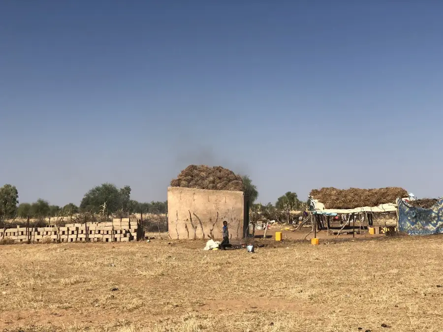
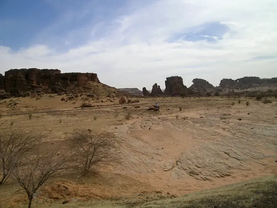
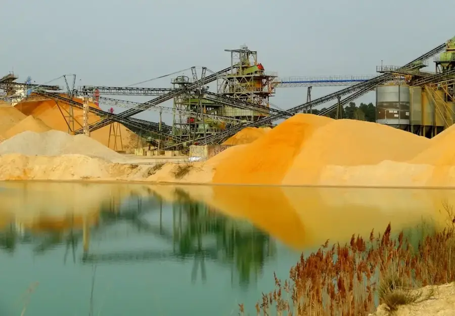
The Matam plateau is located in the northeastern part of Senegal, acting as a crucial geographical bridge between the fertile Senegal River valley and the semi-arid Ferlo region. This elevated landscape is primarily composed of lateritic soils and ancient sandstone formations that have been weathered over millennia by the harsh Sahelian climate. The region experiences a long dry season from November to June, with average annual rainfall ranging between 300 and 500 millimeters, supporting a sparse vegetation of acacia trees and resilient grasses. Historically, the plateau served as a strategic point for pastoralist groups and caravan trade routes moving towards the interior of West Africa. The local economy is traditionally centered on extensive livestock farming, although recent discoveries of phosphate deposits in the surrounding areas are gradually transforming the regional infrastructure. In modern times, the plateau is recognized for its role in the Great Green Wall initiative, aimed at combating desertification through the restoration of native tree species.
Best time to visit & climate
The most pleasant time to visit is Jan, Feb, Dec.
| Jan | Feb | Mar | Apr | May | Jun | Jul | Aug | Sep | Oct | Nov | Dec | |
|---|---|---|---|---|---|---|---|---|---|---|---|---|
| Avg °C | 24 | 26 | 30 | 33 | 35 | 34 | 31 | 29 | 28 | 29 | 27 | 25 |
| Rain mm | 1 | 0 | 0 | 1 | 1 | 33 | 117 | 177 | 134 | 20 | 2 | 0 |
📋 Practical info
Geography
Facts
- The average elevation of the plateau is approximately 50 meters above sea level.
- The region records less than 500 mm of annual rainfall.
- Matam is part of the Great Green Wall initiative to combat desertification.
- Geologically, the area is dominated by lateritic crusts and Tertiary sandstones.
- Temperatures can reach peaks of over 45 degrees Celsius in May.
- Significant phosphate deposits have been discovered near Ndendory.
Explore nearby
Notable places around
Route planner — Car & Motorhome
Where do you start? We build the route here, with stops and country notes along the way.
© OpenStreetMap contributors · OpenRouteService
Sights nearby
Frequently asked questions
What is there to do in the Matam Highlands?
What is the best way to arrive?
Are there hotels there?
Must one speak French?
When is it coolest?
Matam plateau: where is it located?
Matam plateau: when is the best time to visit?
Matam plateau: why is it worth visiting?

Nearby cities