Plizio Visual Lab
Erg In-Chich

Weather…
Water temperature…
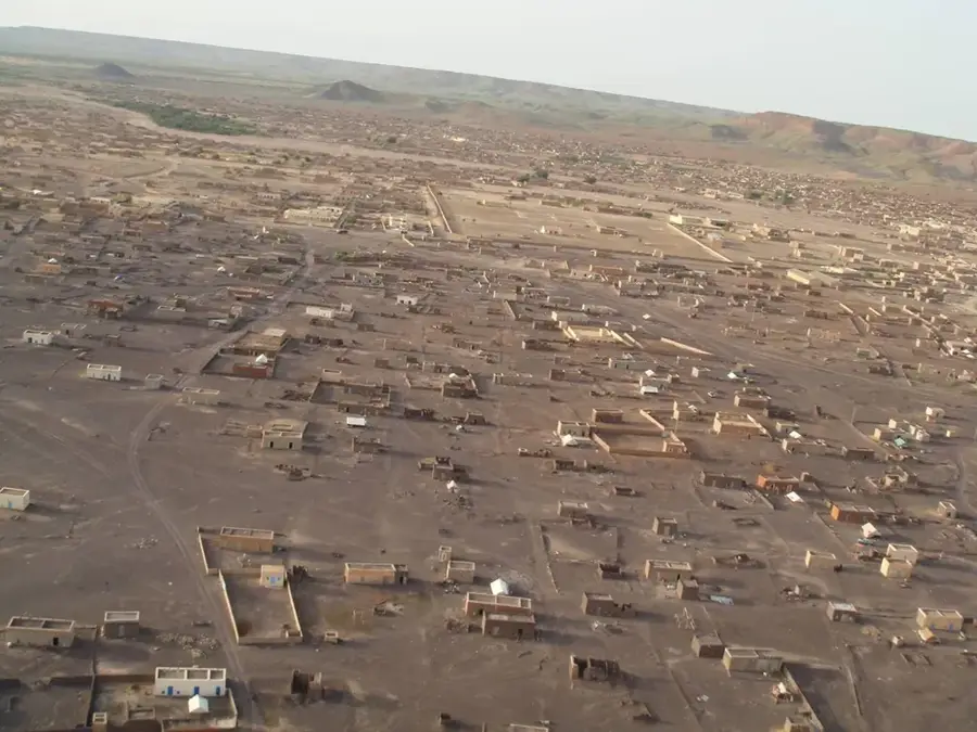
Erg In-Chich is a vast sand sea located in northern Mauritania, stretching across the border into Mali. This region is part of the Majabat al-Koubra, one of the most remote and arid zones of the Sahara Desert. The landscape is dominated by massive barchans, crescent-shaped migrating dunes formed by steady trade winds, which can reach heights of over 100 meters. Due to extreme aridity and the total absence of permanent water sources, there is virtually no human infrastructure in this area. Historically, the Erg was traversed only by the most experienced caravan guides on ancient salt trade routes. Today, it serves as a destination for specialized desert expeditions seeking absolute silence and untouched wilderness. The reddish-gold sand formations create a remarkable visual display at sunrise and sunset, though navigation remains nearly impossible without GPS in this repetitive but mesmerizing terrain, often referred to as the Empty Quarter of the Sahara.
Best time to visit & climate
The most pleasant time to visit is Feb, Mar, Nov.
| Jan | Feb | Mar | Apr | May | Jun | Jul | Aug | Sep | Oct | Nov | Dec | |
|---|---|---|---|---|---|---|---|---|---|---|---|---|
| Avg °C | 16 | 19 | 23 | 28 | 32 | 36 | 38 | 37 | 35 | 29 | 22 | 17 |
| Rain mm | 1 | 2 | 2 | 1 | 3 | 2 | 6 | 13 | 9 | 7 | 2 | 1 |
📋 Practical info
Geography
Facts
- Covers an area of several thousand square kilometers
- Dunes can reach heights exceeding 150 meters
- Classified as a hyper-arid zone hostile to life
- Important area for studying aeolian geomorphology
- Part of the major western Saharan basins
- Contains almost no permanent human settlements
Explore nearby
Notable places around
Route planner — Car & Motorhome
Where do you start? We build the route here, with stops and country notes along the way.
© OpenStreetMap contributors · OpenRouteService
Sights nearby
Frequently asked questions
What is Erg In-Chich?
Is an expedition advisable?
Are there tourists there?
When is it safest?
Can you see the stars?
Erg In-Chich: where is it located?
Erg In-Chich: when is the best time to visit?
Erg In-Chich: why is it worth visiting?

Nearby cities