Plizio Visual Lab
El Djouf
Weather…
Water temperature…
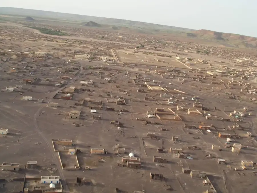
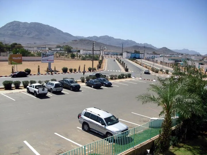
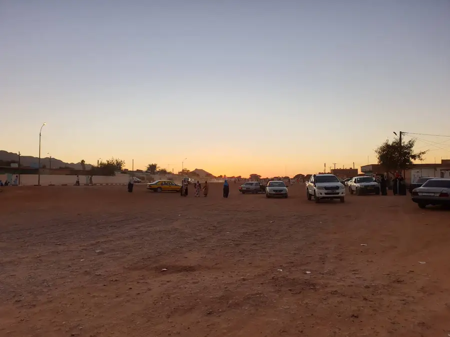
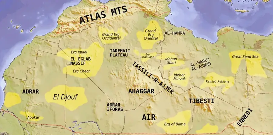
El Djouf is a vast and hyper-arid basin located in the heart of the Sahara, spanning northeastern Mauritania and parts of Mali. Often referred to as the 'Empty Quarter' of the Sahara, it is characterized by immense dune fields known as ergs, interspersed with gravel plains and rocky outcrops. The region is notorious for its complete lack of surface water and extreme temperatures, making it one of the most remote and inhospitable places on Earth. Geologically, the El Djouf basin is thought to occupy the site of an ancient inland sea, with its fine-grained sediments now fueling the shifting sands that define its surface. Historically, it acted as a formidable natural barrier, forcing trans-Saharan trade routes to skirt its edges rather than crossing its center. For scientists, the area provides critical data on desertification and climate history. For those who study the desert, El Djouf represents the raw, unyielding power of nature, where the horizon stretches infinitely and the landscape is constantly reshaped by the prevailing winds.
Best time to visit & climate
The most pleasant time to visit is Feb, Mar, Nov.
| Jan | Feb | Mar | Apr | May | Jun | Jul | Aug | Sep | Oct | Nov | Dec | |
|---|---|---|---|---|---|---|---|---|---|---|---|---|
| Avg °C | 16 | 19 | 23 | 27 | 31 | 34 | 36 | 35 | 33 | 29 | 22 | 17 |
| Rain mm | 1 | 1 | 1 | 1 | 1 | 1 | 3 | 14 | 7 | 5 | 1 | 2 |
📋 Practical info
Geography
Facts
- The depression lies at an average elevation of 200 to 300 meters.
- El Djouf is often referred to as the 'Empty Quarter' of the Sahara.
- Meteorite finds, such as the Adrar meteorite, have been documented in the region.
- Vegetation is almost entirely restricted to rare oases on its periphery.
- In the geological past, the basin was part of an extensive lake system.
- Daytime temperatures can reach 50°C, with significant drops at night.
Route planner — Car & Motorhome
Where do you start? We build the route here, with stops and country notes along the way.
© OpenStreetMap contributors · OpenRouteService
Sights nearby
Frequently asked questions
What is El Djouf?
Can you travel there?
Are there settlements there?
What is the biggest risk?
What to bring?
El Djouf: where is it located?
El Djouf: when is the best time to visit?
El Djouf: why is it worth visiting?

Nearby cities