Plizio Visual Lab
Boghe Irrigation Project

Weather…
Water temperature…
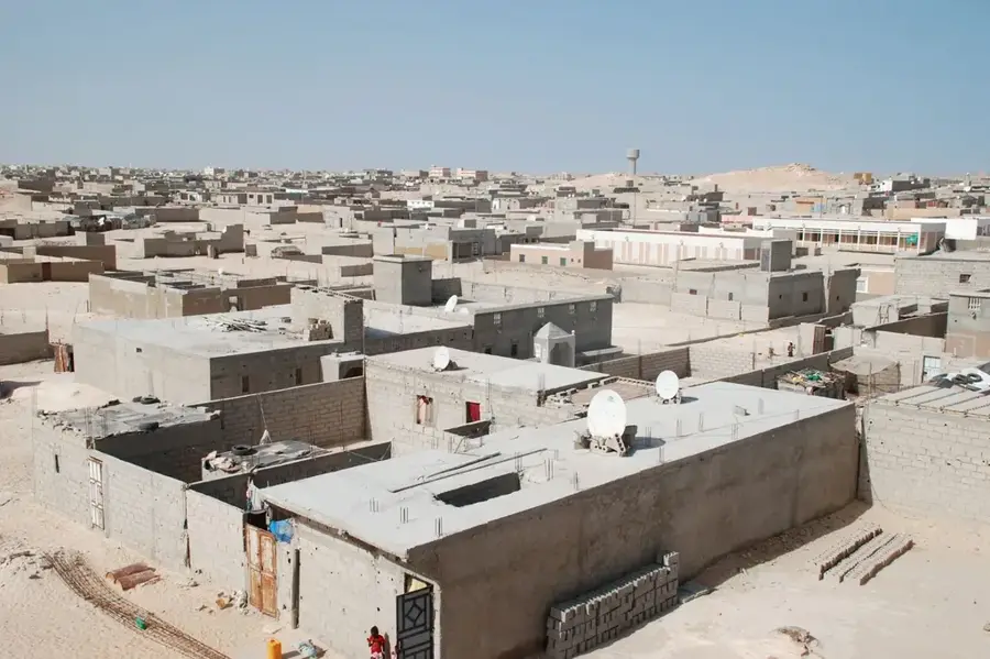
The Boghe Irrigation Project is a cornerstone of Mauritania's agricultural development, located in the strategically important Senegal River valley. This large-scale engineering feat has revolutionized local farming by providing a consistent water supply to thousands of hectares of land that were previously dependent on erratic seasonal rains. Through an extensive network of dikes and canals, the project supports the intensive cultivation of rice, maize, and various vegetables, significantly boosting domestic food production. As a result, Boghe has emerged as a key regional economic hub, reducing the nation's reliance on food imports and improving the livelihoods of thousands of rural families. The project represents a successful model of how modern irrigation technology can harness river resources to combat desertification and promote sustainable development in the Sahel region. For those interested in economic geography, Boghe has a compelling example of human ingenuity transforming an arid landscape into a productive agricultural powerhouse.
- Location: Mauritania
- Top sights: Forêt Classée de Lopel · Forêt Classée de Ganki
- Nearby: Djédjé-Nord (22 km)
Best time to visit & climate
The most pleasant time to visit is Jan, Feb, Dec.
| Jan | Feb | Mar | Apr | May | Jun | Jul | Aug | Sep | Oct | Nov | Dec | |
|---|---|---|---|---|---|---|---|---|---|---|---|---|
| Avg °C | 23 | 25 | 28 | 31 | 34 | 34 | 32 | 31 | 30 | 30 | 27 | 24 |
| Rain mm | 2 | 1 | 0 | 0 | 0 | 13 | 58 | 111 | 88 | 13 | 1 | 0 |
📋 Practical info
Geography
Facts
- Irrigated area: 5,000 hectares
- Project start: 1975
- Main crop: rice (80% of area)
- Number of farmers: 3,000
- Length of canals: 120 km (75 mi)
- Annual rice production: 25,000 metric tons
Explore nearby
Notable places around
Route planner — Car & Motorhome
Where do you start? We build the route here, with stops and country notes along the way.
© OpenStreetMap contributors · OpenRouteService
Sights in the town Boghe Irrigation Project (2)
Sights nearby
Frequently asked questions
What is the Boghe irrigation project?
Is it tourist relevant?
Can one visit the project?
What is produced there?
How is the region?
Boghe Irrigation Project: where is it located?
Boghe Irrigation Project: what is there to see?
Boghe Irrigation Project: when is the best time to visit?
Boghe Irrigation Project: why is it worth visiting?

Nearby cities