Plizio Visual Lab
Adrar Plateau Sites
Weather…
Water temperature…
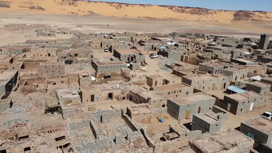
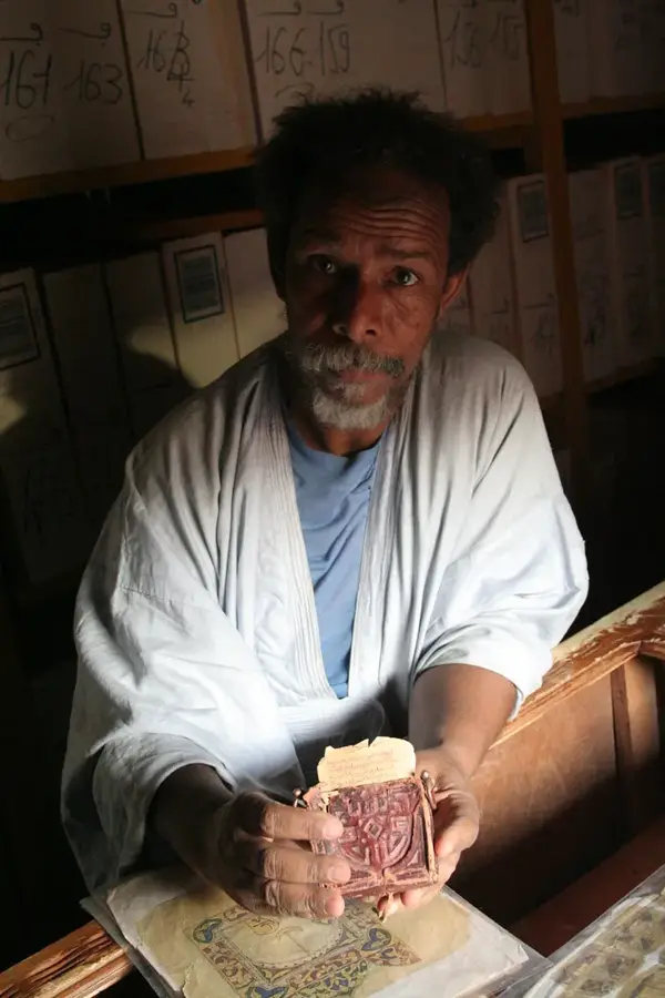
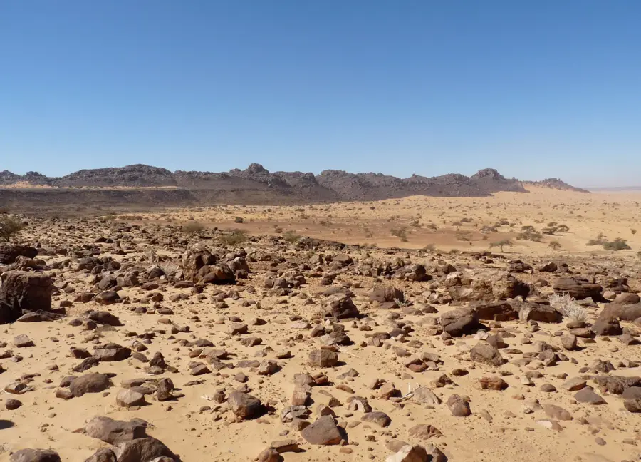
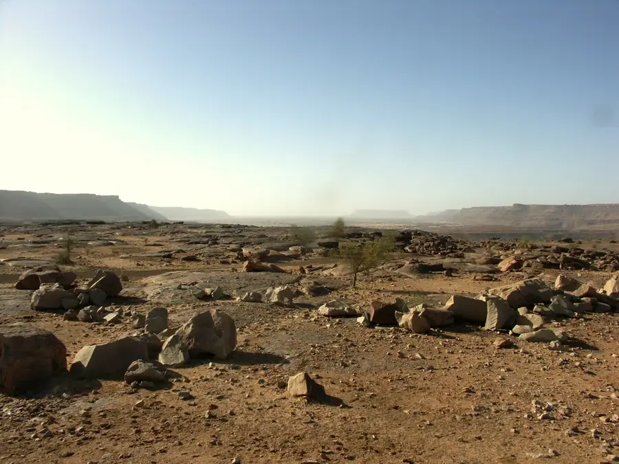
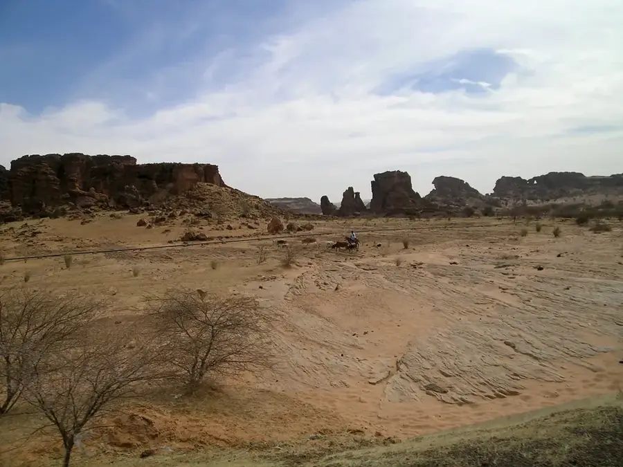
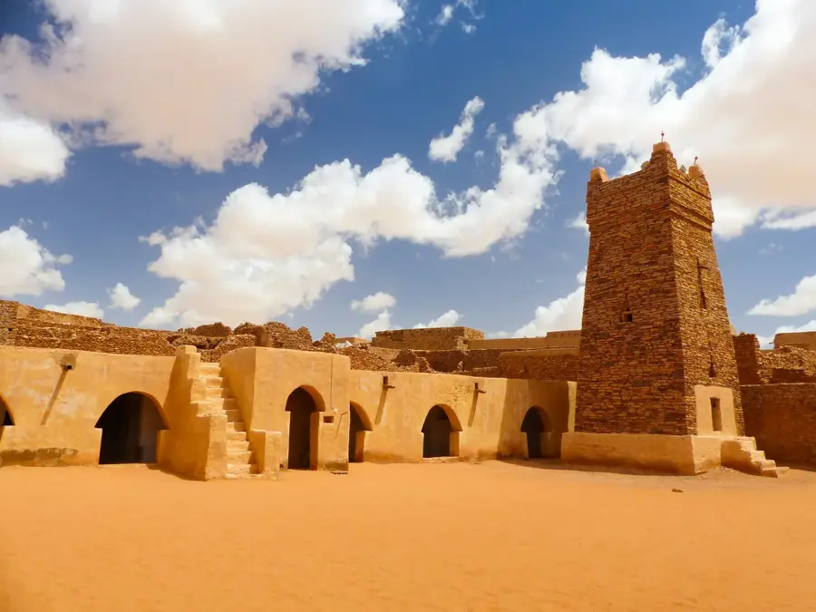
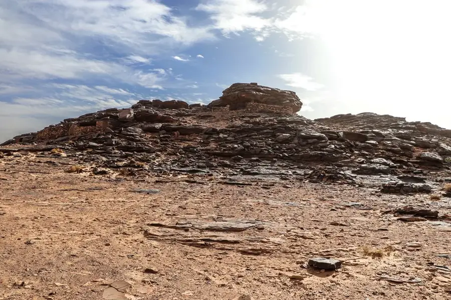
The Adrar Plateau in central Mauritania is a vast, rugged upland of red sandstone that serves as one of the Sahara's most significant archaeological repositories. The region is renowned for its prehistoric rock art, featuring intricate paintings and engravings that date back to the Paleolithic and Neolithic eras. These artworks often depict fauna such as giraffes, cattle, and lions, providing clear evidence that the Sahara was once a lush savanna capable of supporting diverse life and human settlements. Beyond its ancient history, the plateau was a strategic node in the trans-Saharan caravan trade, linked to historic stone-built towns like Chinguetti and Ouadane. The landscape is defined by dramatic cliffs, deep canyons, and hidden oases like Terjit, where natural springs and palm groves offer a stark contrast to the surrounding desert heat. Exploring the Adrar sites allows visitors to trace the footsteps of early humans and understand the environmental shifts that transformed this region.
- Location: Mauritania
- Nearby: Chinguetti (16 km)
Best time to visit & climate
The most pleasant time to visit is Feb, Mar, Nov.
| Jan | Feb | Mar | Apr | May | Jun | Jul | Aug | Sep | Oct | Nov | Dec | |
|---|---|---|---|---|---|---|---|---|---|---|---|---|
| Avg °C | 16 | 19 | 23 | 26 | 30 | 32 | 33 | 33 | 32 | 28 | 22 | 18 |
| Rain mm | 1 | 1 | 2 | 0 | 1 | 4 | 14 | 21 | 17 | 96 | 1 | 1 |
📋 Practical info
Geography
Facts
- Extent: 300 km north-south
- Maximum elevation: 800 meters
- Number of recorded rock art sites: over 50
- UNESCO Tentative List entry: 2008
- Major sites: Aguerd Tichitt, Amogjar, Tin Terga
- Age of rock paintings: 5,000 years
Explore nearby
Notable places around
Route planner — Car & Motorhome
Where do you start? We build the route here, with stops and country notes along the way.
© OpenStreetMap contributors · OpenRouteService
Sights nearby
Frequently asked questions
What is there to see on the Adrar Plateau?
Is a guided tour advisable?
How much time is needed?
What is the weather like?
What should be considered when driving off-road?
Adrar Plateau Sites: where is it located?
Adrar Plateau Sites: when is the best time to visit?
Adrar Plateau Sites: why is it worth visiting?

Nearby cities


History & landmarks


More places