Plizio Visual Lab
Madliena Bridge
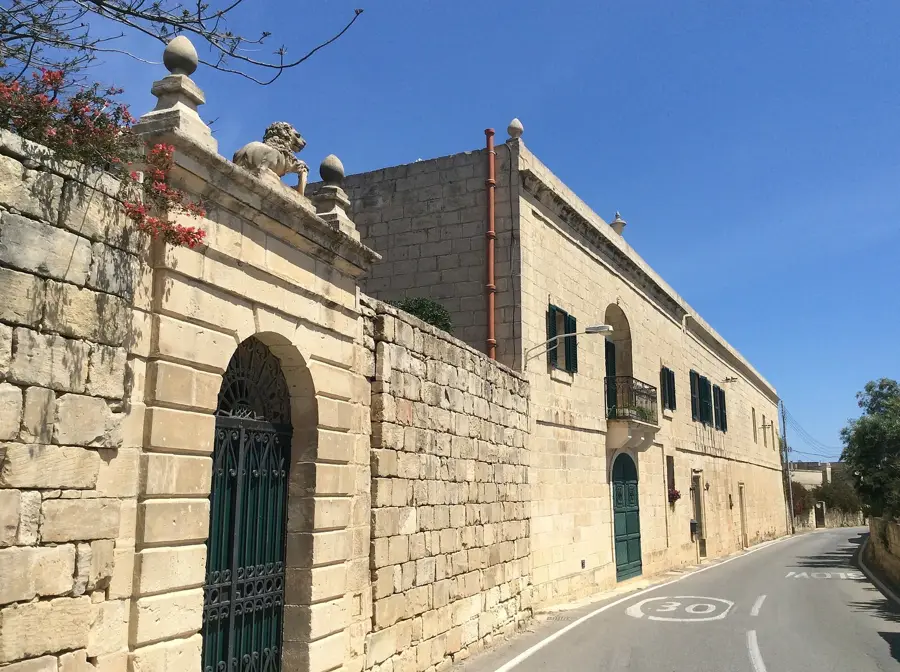
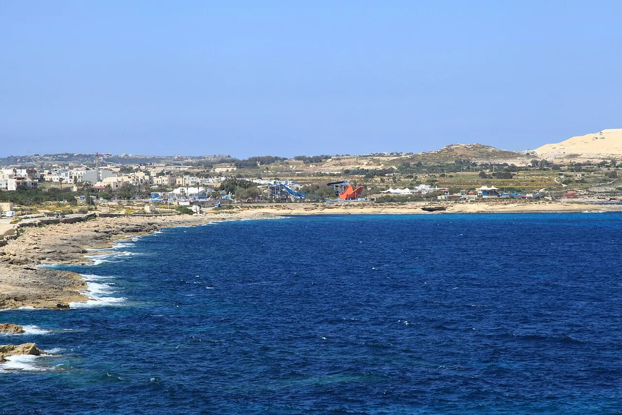
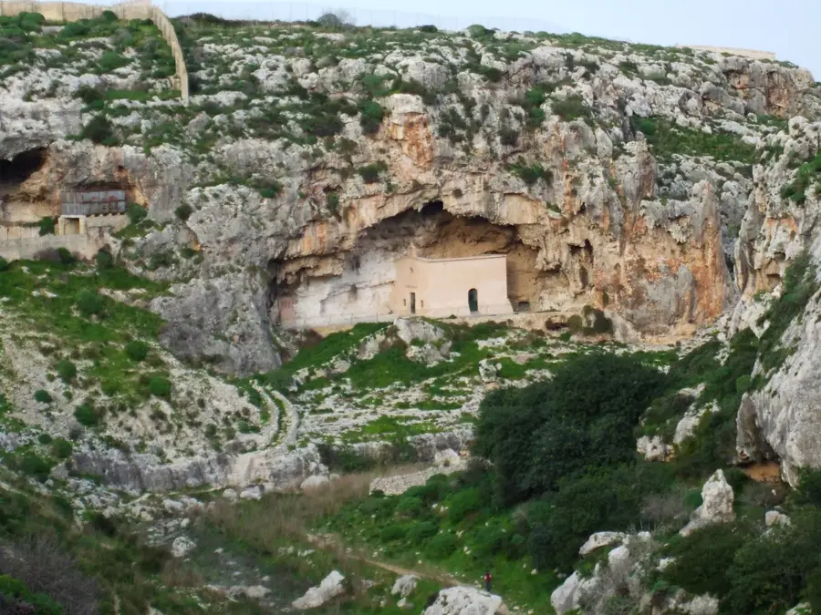
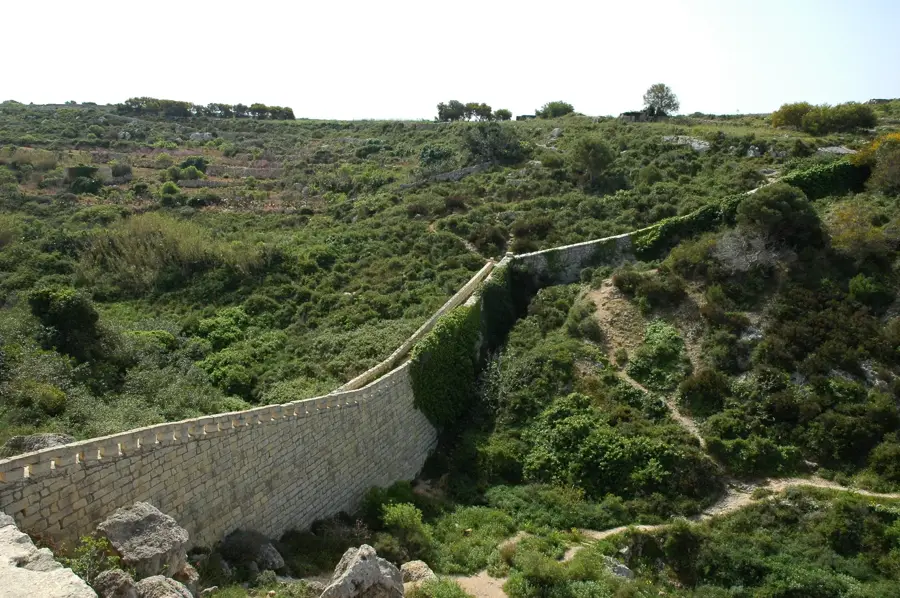
The Madliena Bridge, also known as the Victoria Lines Bridge, is a notable feat of Victorian engineering in Malta. Constructed in the late 19th century, it was built as a vital component of the Victoria Lines, a defensive wall often referred to as the 'Great Wall of Malta' that spans the width of the island. The bridge crosses the deep ravine of Wied id-Dis, designed to allow for the swift movement of British troops and artillery along the fortification line. Built using local limestone, the bridge’s design reflects a balance between functional military utility and the rugged natural environment. While its strategic military importance has long faded, it has become a popular landmark for hikers and history enthusiasts exploring the rural landscapes of northern Malta. The bridge provides impressive views of the valley below and the surrounding defensive structures. It remains a significant monument to British military planning and colonial-era construction techniques.
- Location: Malta
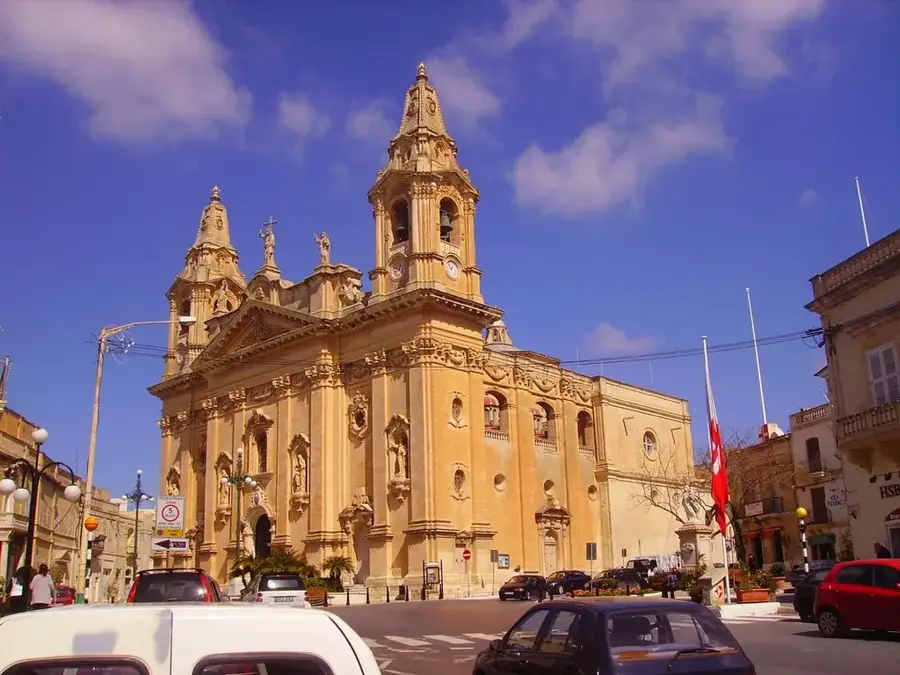
- Top sights: Australia Hall · Fort Madalena · Fort Pembroke
- Nearby: Tigné Point (4 km)
Best time to visit & climate
The most pleasant time to visit is May–Jul.
| Jan | Feb | Mar | Apr | May | Jun | Jul | Aug | Sep | Oct | Nov | Dec | |
|---|---|---|---|---|---|---|---|---|---|---|---|---|
| Avg °C | 15 | 14 | 15 | 16 | 19 | 23 | 26 | 27 | 25 | 23 | 20 | 16 |
| Rain mm | 74 | 65 | 51 | 33 | 17 | 11 | 4 | 10 | 63 | 82 | 95 | 82 |
📋 Practical info
Geography
Facts
- Year built: Late 19th century
- Function: Part of the Victoria Lines fortifications
- Location: Spanning the Wied id-Dis valley
- Material: Local Maltese limestone
- Significance: Victorian military infrastructure
- Status: Popular spot for heritage hiking
Explore nearby
Notable places around
Route planner — Car & Motorhome
Where do you start? We build the route here, with stops and country notes along the way.
© OpenStreetMap contributors · OpenRouteService
Sights in the town Madliena Bridge (10)
Ladder 1
Steep staircase access to the sea along the coast.
Ladder 2
Another ladder access to the water along the rocky shore.
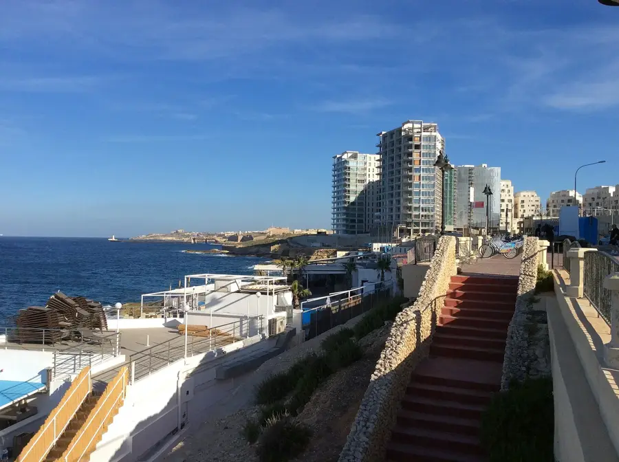
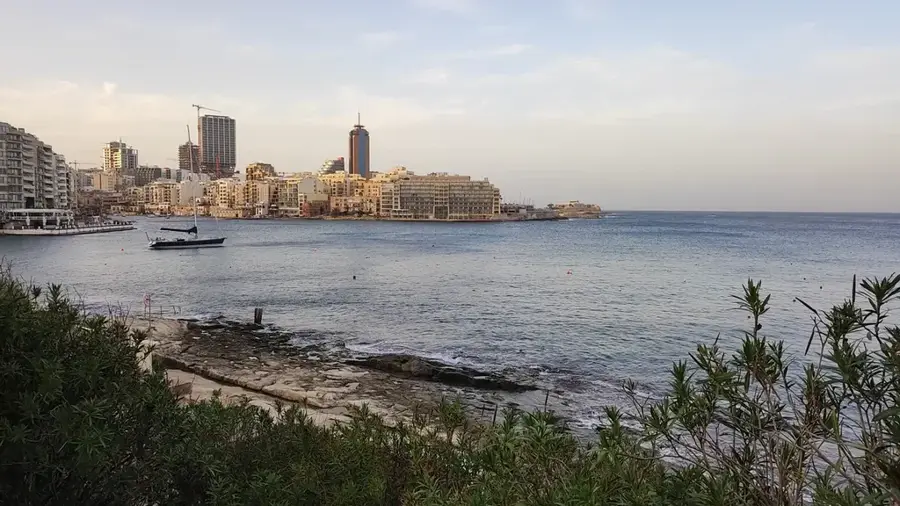
Saint George's Beach
Sandy beach on Malta's northeast coast, popular with tourists.
Splash and Fun
Water park in Malta with slides and pools.
St. George's Bay
Bay in Malta, known for its beach and clear water.
Wreck of Lockheed Neptune
Wreck of a Lockheed Neptune aircraft off the coast of Malta.
Sights nearby
Frequently asked questions
Where is the bridge located?
Who built the bridge?
Can you walk across the bridge?
Can you drive across the bridge?
Is there a fee for access?
Madliena Bridge: where is it located?
Madliena Bridge: what is there to see?
Madliena Bridge: when is the best time to visit?
Madliena Bridge: why is it worth visiting?

Nearby cities
History & landmarks
Nature

More places