Plizio Visual Lab
Yorosso
ℹ️Practical info — Yorosso
▾
🌤 Weather — 5 days
📍 Nearby
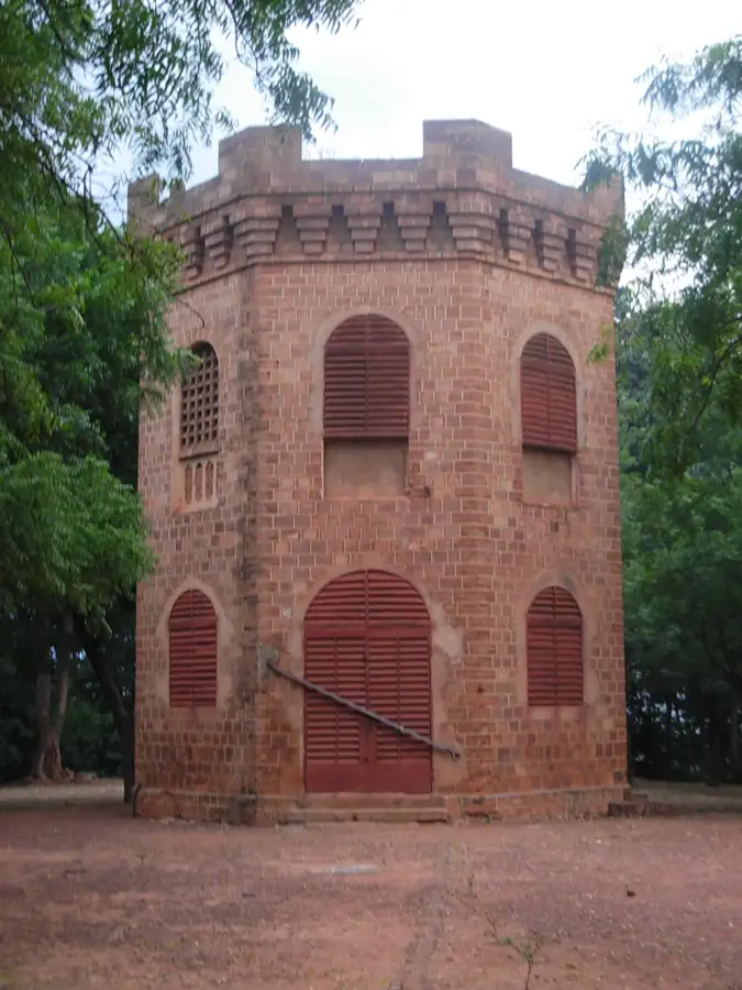
Sights nearby
💡 Tips
- As it is close to the border, keep your identification documents handy for possible police checkpoints.
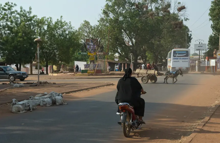
- The town is quiet, making it best to visit during the weekly market day when it comes alive.
- French is understood, but learning a few basic phrases in Bambara or Minianka will go a long way.
- Cash is king here; ensure you have enough CFA francs before arriving.
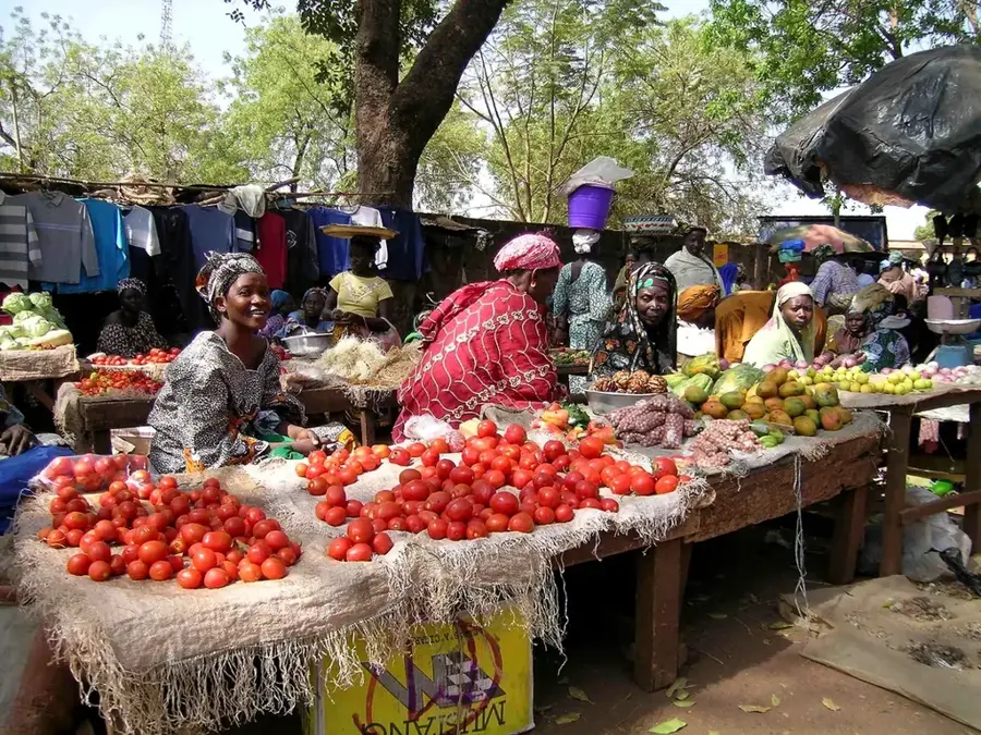
🍽 Food
A classic millet or sorghum paste that you can taste fresh from street vendors.
Look for the stalls offering delicious grilled meat in the evening near the market square.
Start your day with a strong coffee and freshly fried donuts from a local stand.
🛍 Shopping · 🧘 Quiet spots
The meeting point for buying locally grown cotton fabrics and traditional textiles.
Discover hand-forged tools and local pottery at the artisans' stalls.
Take a peaceful walk along the farmlands surrounding the town.
The small sandy roads on the edge of the main settlement are well-suited for a quiet afternoon.
Water temperature…
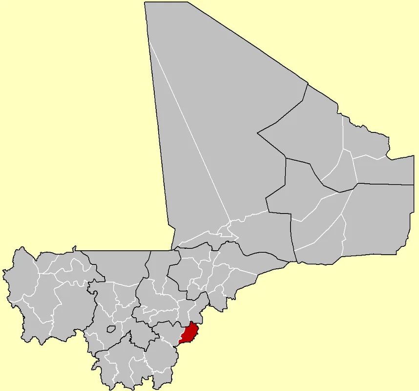
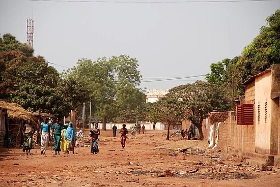
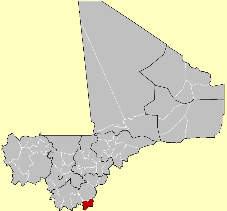
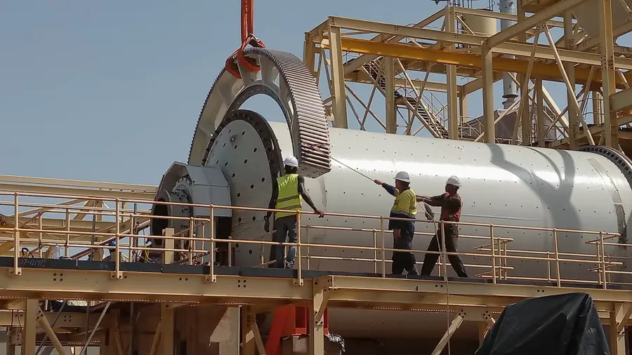
Yorosso is an agriculturally oriented town in southeastern Mali, located in the Sikasso Region along the border with Burkina Faso. The town serves as the administrative center of the Yorosso Cercle and plays a significant role in the country's cotton production. Due to the relatively high rainfall in this region, the soil is very fertile, allowing for the cultivation of grains such as millet, maize, and sorghum alongside cotton. Its geographical proximity to Burkina Faso makes Yorosso an important site for cross-border exchange of goods and services. Culturally, the town is shaped by the Bobo community, known for their traditional mask dances and craftsmanship. Despite its remote location, Yorosso has established itself as a stable economic contributor in the border region.
- Location: Mali
- Nearby: Koutiala (76 km)
- Population: ~17.447 (2021)
Best time to visit & climate
The most pleasant time to visit is Jan, Nov, Dec.
| Jan | Feb | Mar | Apr | May | Jun | Jul | Aug | Sep | Oct | Nov | Dec | |
|---|---|---|---|---|---|---|---|---|---|---|---|---|
| Avg °C | 23 | 27 | 30 | 32 | 32 | 29 | 27 | 26 | 26 | 27 | 26 | 23 |
| Rain mm | 1 | 1 | 7 | 28 | 77 | 138 | 207 | 278 | 159 | 48 | 3 | 0 |
Geography
Facts
- Administrative seat of the Yorosso Cercle on the Burkina Faso border.
- The region is a major contributor to Mali's national cotton output.
- Located approximately 210 kilometers northeast of the city of Sikasso.
- The Bobo ethnic group is central to the town's cultural identity.
- Agriculture thrives here thanks to the favorable Sudanese climate zone.
- Serves as a key node for informal and formal cross-border trade.
Explore nearby
Notable places around
Route planner — Car & Motorhome
Where do you start? We build the route here, with stops and country notes along the way.
© OpenStreetMap contributors · OpenRouteService
Frequently asked questions
What is the best season for Yorosso?
How long does a typical visit take?
What can you see in Yorosso?
Is Yorosso touristy?
What should you keep in mind when traveling there?
Yorosso: where is it located?
Yorosso: when is the best time to visit?
Yorosso: why is it worth visiting?

Nearby cities

History & landmarks
More places