Plizio Visual Lab
Fort Maguire Ruins

Weather…
Water temperature…
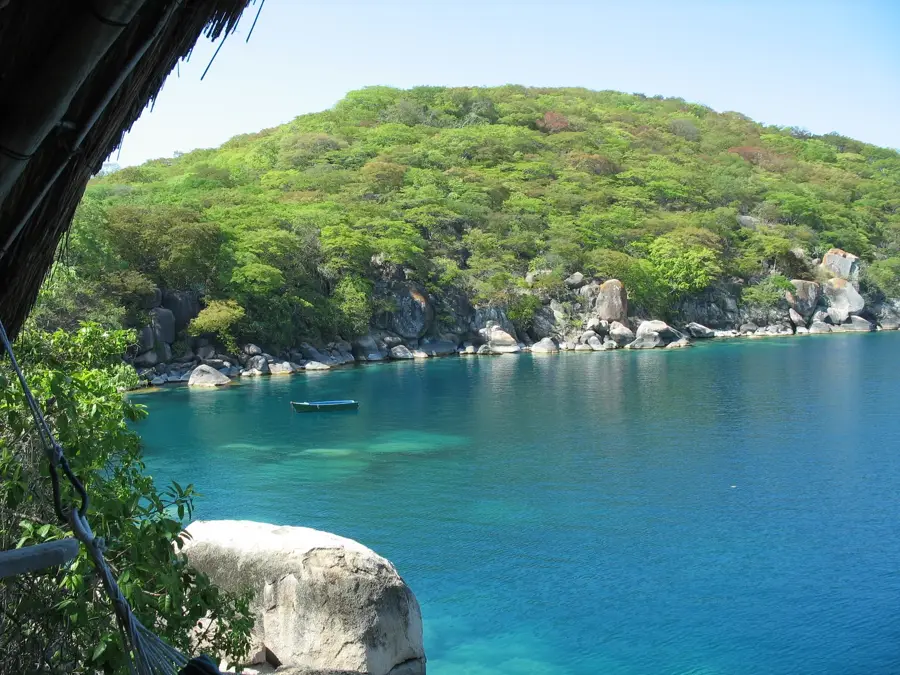
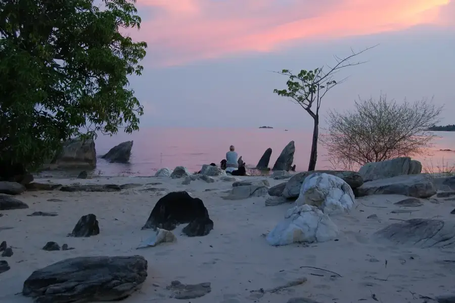
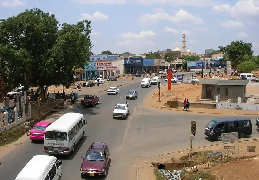
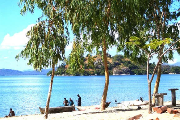
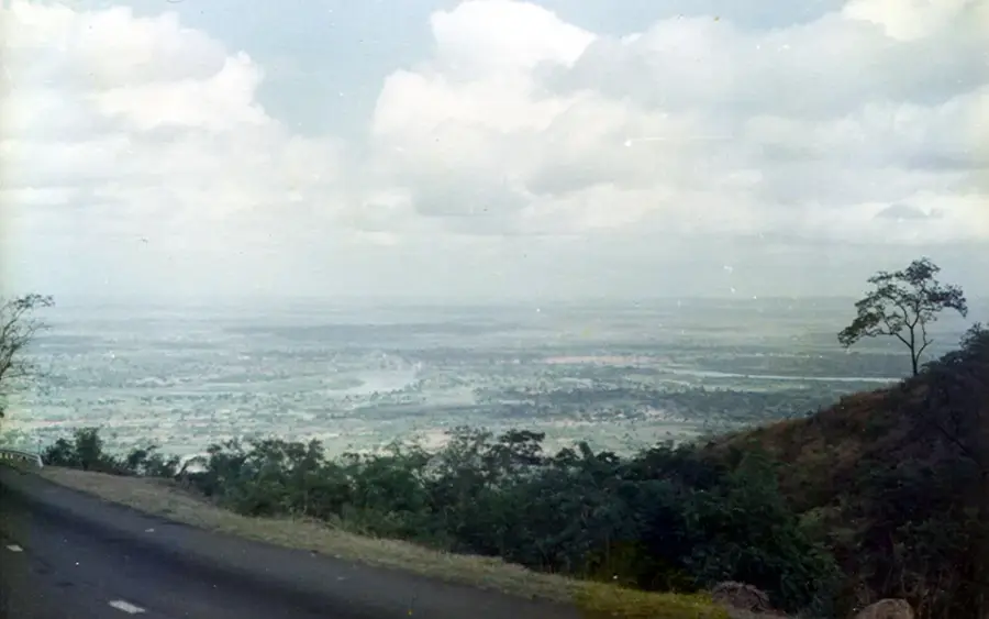
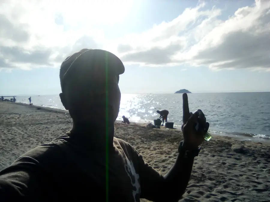
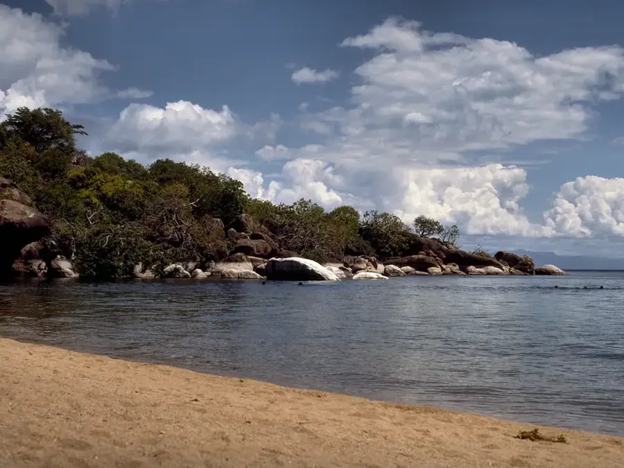
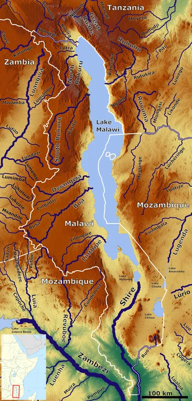
The ruins of Fort Maguire are located on the southeastern shores of Lake Malawi, serving as a silent witness to the 19th-century struggle to abolish the slave trade. Established in 1891 by British forces, the fort was named after Captain Cecil Maguire, who led the operations against the notorious local slave trader Makanjira. The fort played a pivotal role in the British Nyasaland Protectorate's military strategy to gain control over the lake and secure the region's inland borders. Today, only the stone foundations and weathered remains of the defensive structures are visible, partially reclaimed by the surrounding landscape. For visitors, the site provides a poignant historical narrative of conflict and the transition toward the modern Malawian state. Overlooking the vast expanse of Lake Malawi, the ruins provide a space for reflection on the colonial era's impact and the successful suppression of the human trafficking networks that once dominated the area.
- Location: Malawi
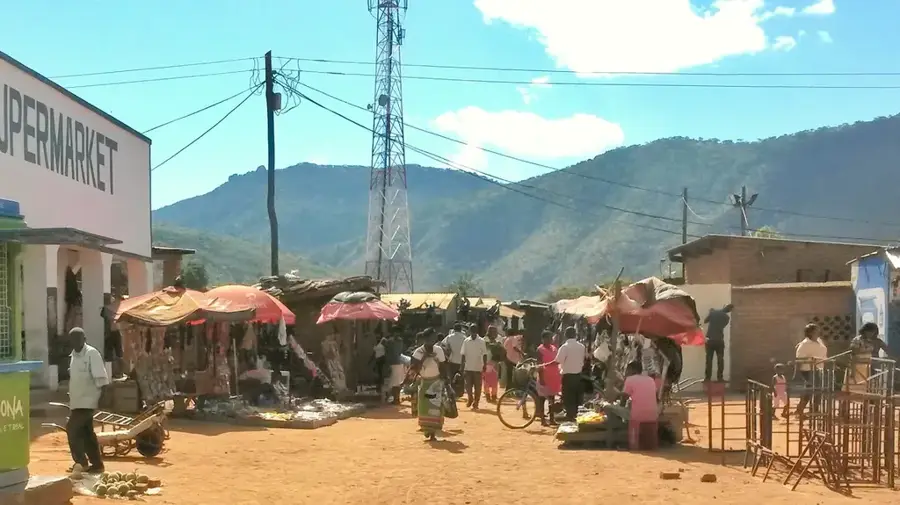
- Nearby: Senga Bay (30 km)
Best time to visit & climate
The most pleasant time to visit is May, Jun, Aug.
| Jan | Feb | Mar | Apr | May | Jun | Jul | Aug | Sep | Oct | Nov | Dec | |
|---|---|---|---|---|---|---|---|---|---|---|---|---|
| Avg °C | 25 | 24 | 24 | 23 | 21 | 20 | 20 | 22 | 25 | 27 | 28 | 26 |
| Rain mm | 301 | 222 | 149 | 45 | 12 | 3 | 7 | 8 | 3 | 12 | 47 | 216 |
📋 Practical info
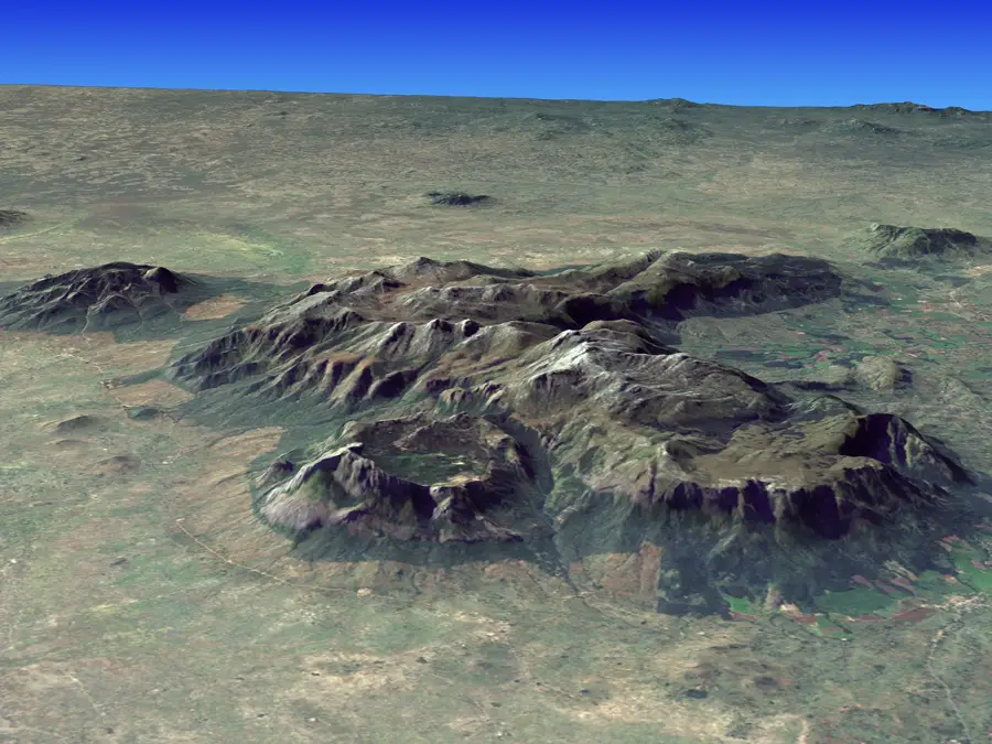
Geography
Facts
- Built in 1890.
- Located on Likoma Island, Lake Malawi.
- Named after Captain Maguire.
- Walls were 1 meter thick.
- Ruins cover 400 square meters.
- Declared national monument in 1995.
Explore nearby
Notable places around
Route planner — Car & Motorhome
Where do you start? We build the route here, with stops and country notes along the way.
© OpenStreetMap contributors · OpenRouteService
Sights nearby
Frequently asked questions
What is the history of the Fort Maguire ruins?
What is the best way to reach the ruins?
Is the place suitable for hikers?
Can you enter the ruins?
Is a guided tour advisable?
Fort Maguire Ruins: where is it located?
Fort Maguire Ruins: when is the best time to visit?
Fort Maguire Ruins: why is it worth visiting?

Nearby cities


History & landmarks
Nature

More places