Plizio Visual Lab
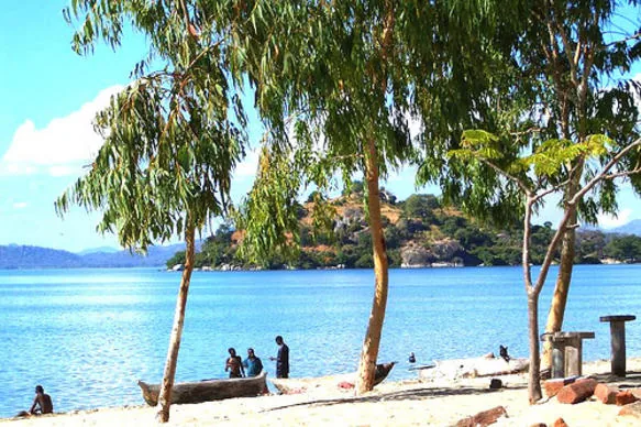
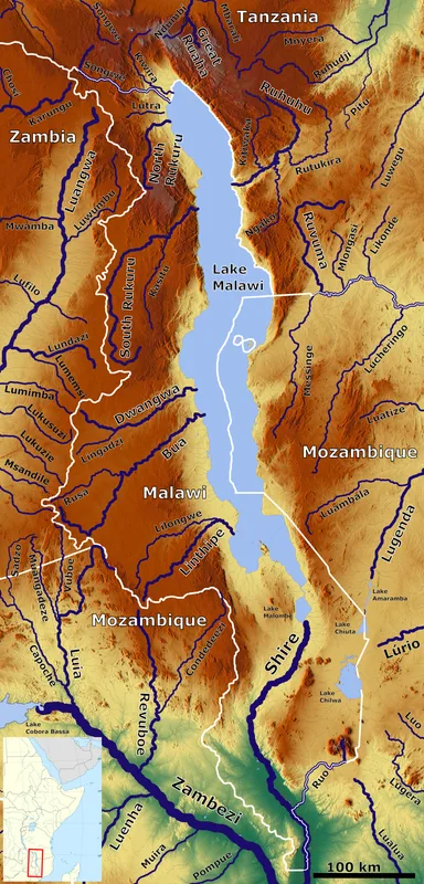
Chipoka Port
Weather…
Water temperature…
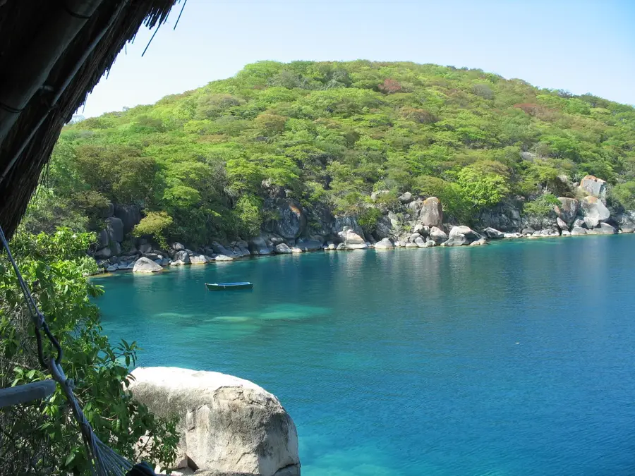
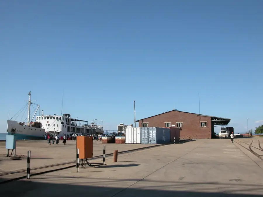
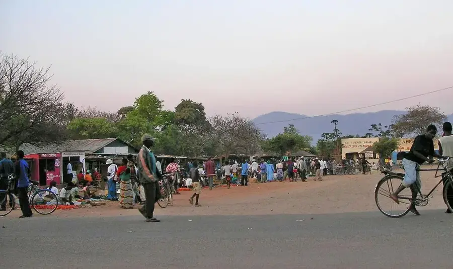
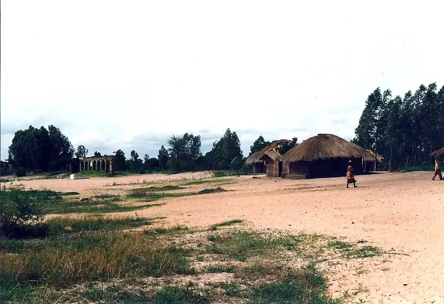
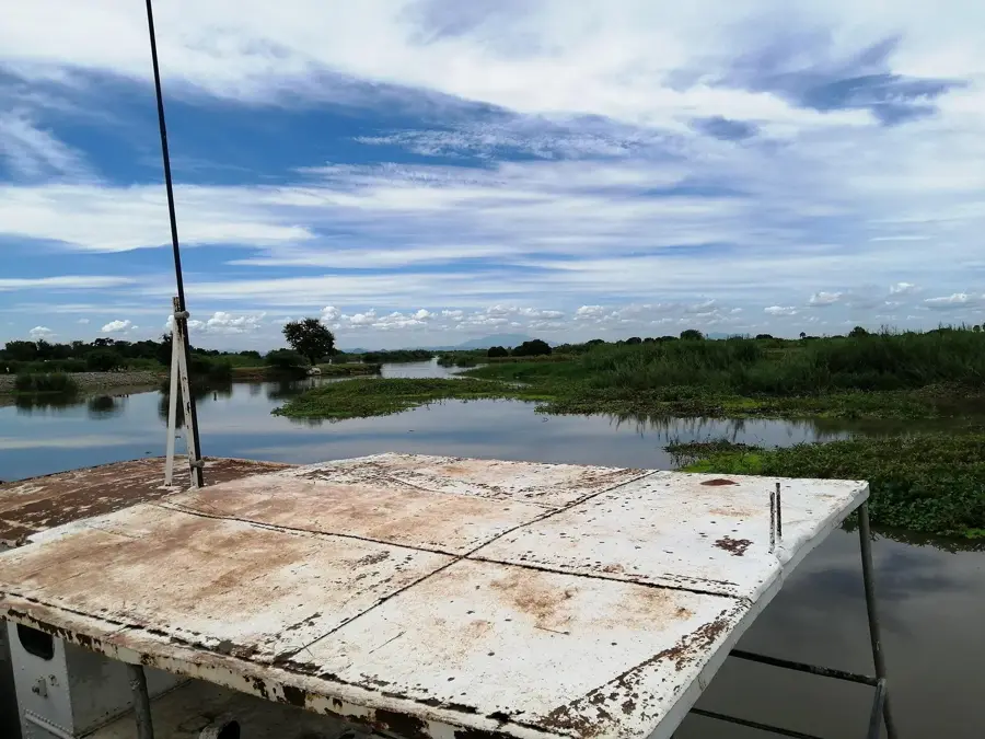
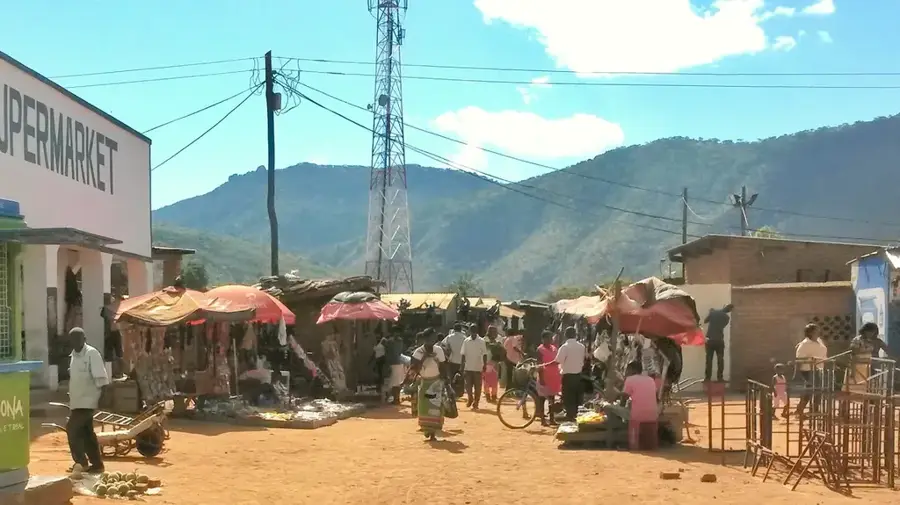
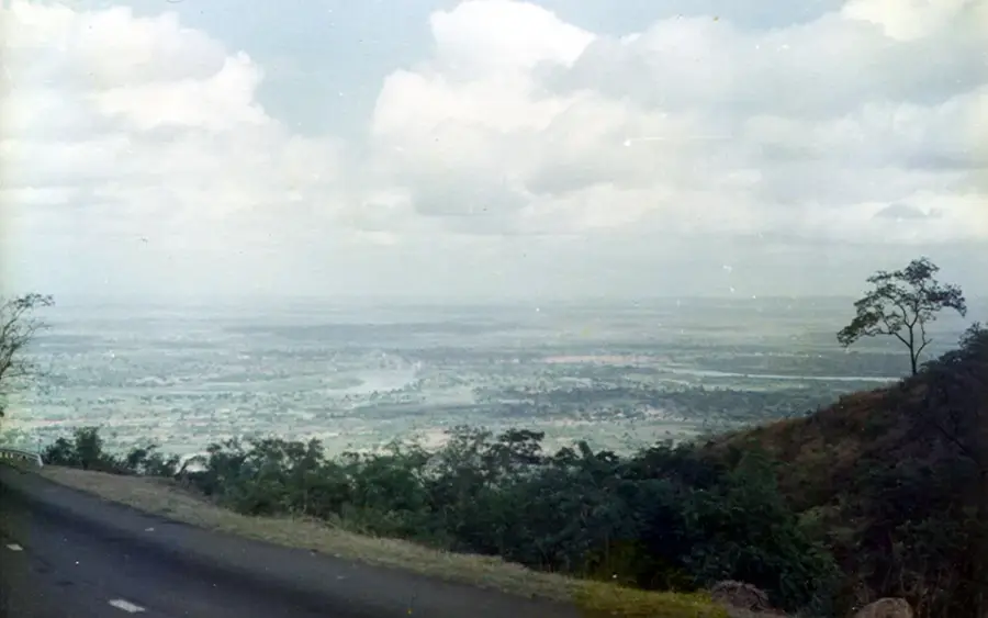
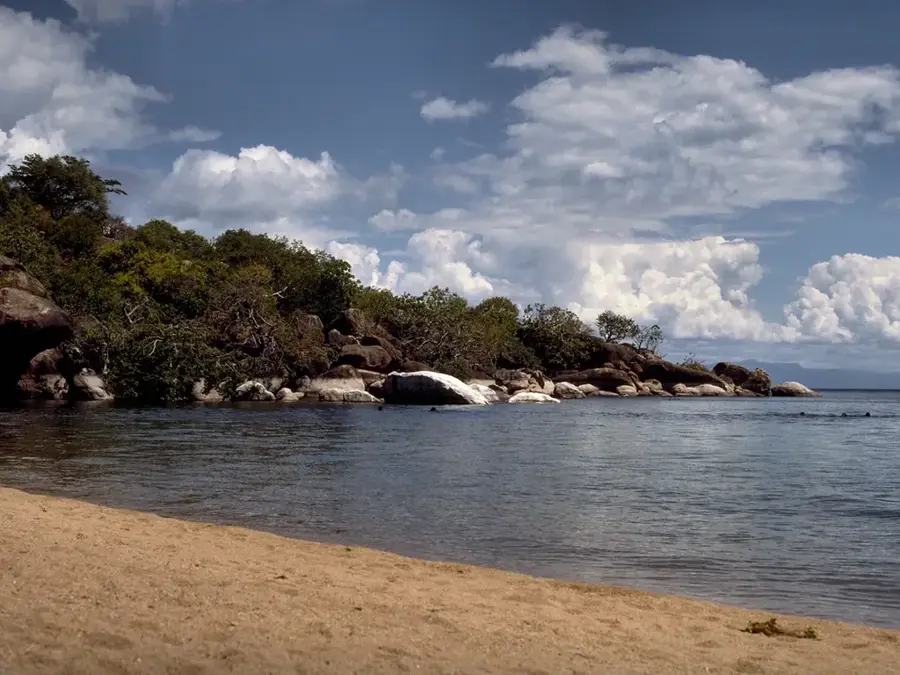
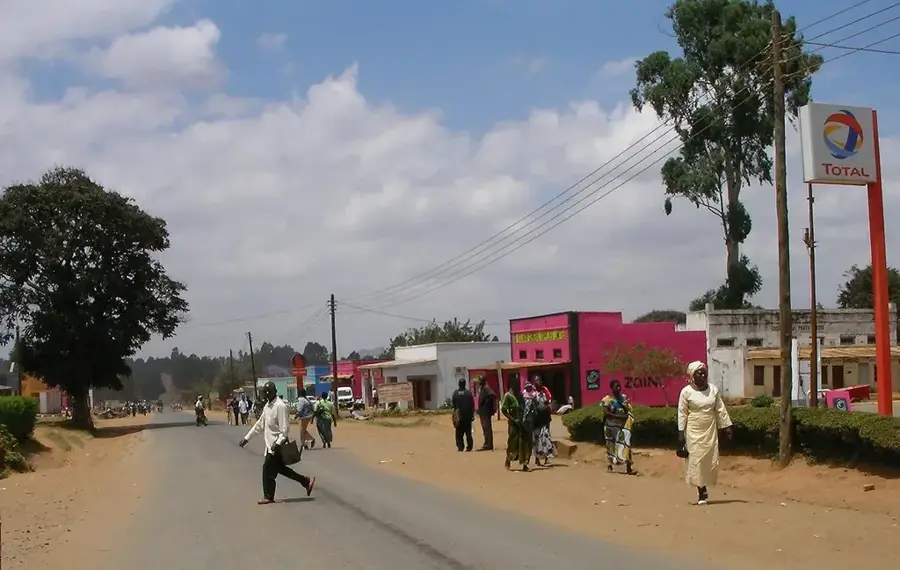
Chipoka Port stands as a critical logistics hub on the shores of Lake Malawi, playing a pivotal role in the nation's trade and economic infrastructure. As a major inland transshipment point, it facilitates the essential transfer of goods between the national railway network and lake-bound vessels. Its strategic significance is tied to the Beira corridor in Mozambique, serving as a primary gateway for fuel and fertilizer imports destined for the northern and central regions of Malawi. The port area is equipped with substantial storage facilities, including large-scale grain silos that are vital for ensuring regional food security. Visitors to Chipoka can witness the bustling activity of a working port where cargo ships dock alongside rail lines that extend to the water's edge. The facility provides a unique window into the industrial side of Lake Malawi, showcasing how this vast body of water serves as a lifeline for landlocked transport and regional development.
- Location: Malawi
- Nearby: Salima (22 km)
Best time to visit & climate
The most pleasant time to visit is Apr, May, Aug.
| Jan | Feb | Mar | Apr | May | Jun | Jul | Aug | Sep | Oct | Nov | Dec | |
|---|---|---|---|---|---|---|---|---|---|---|---|---|
| Avg °C | 23 | 23 | 23 | 21 | 20 | 18 | 18 | 20 | 23 | 26 | 27 | 24 |
| Rain mm | 311 | 220 | 161 | 41 | 7 | 2 | 3 | 2 | 3 | 12 | 63 | 245 |
📋 Practical info
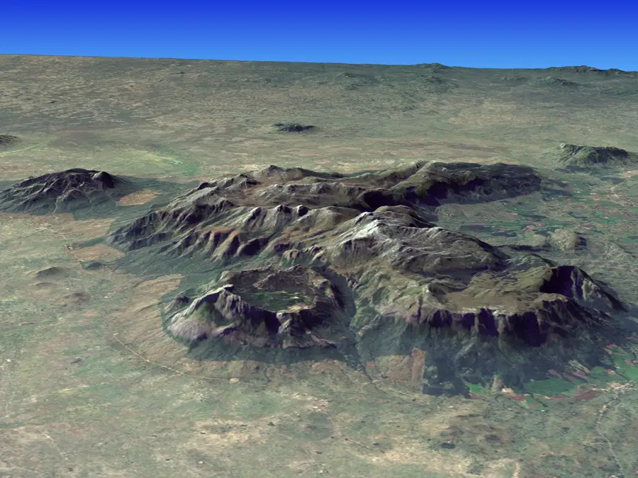
Geography
Facts
- Built: 1950s
- Annual cargo volume: 100,000 tonnes
- Pier length: 120 metres
- Max draught: 4 metres
- Operator: Malawi Ports Authority
- Location: Salima District
Explore nearby
Notable places around
Route planner — Car & Motorhome
Where do you start? We build the route here, with stops and country notes along the way.
© OpenStreetMap contributors · OpenRouteService
Sights nearby
Frequently asked questions
What is Chipoka Port?
Is it accessible to tourists?
Why is the port important?
When is the best time for a visit?
What can you do nearby?
Chipoka Port: where is it located?
Chipoka Port: when is the best time to visit?
Chipoka Port: why is it worth visiting?

Nearby cities


History & landmarks

Nature


More places