Plizio Visual Lab
Andringitra Massif

Weather…
Water temperature…
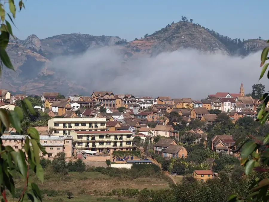
The Andringitra Massif in southeastern Madagascar is one of the island's most geologically spectacular regions and is part of the UNESCO World Heritage list. Composed of Precambrian granite, the mountains are home to Pic Boby, which at 2,658 meters is the second-highest peak in Madagascar, offering hikers a sweeping view over the country. Established in 1999, Andringitra National Park covers over 311 square kilometers and protects an extraordinary biological diversity ranging from tropical rainforests at lower elevations to alpine meadows on the high plateaus. The region is known for its high rate of endemism, particularly among amphibians and reptiles, as well as numerous orchid species. A unique feature is the population of ring-tailed lemurs that have adapted to the cool climate of the high altitudes. Beyond nature, the massif is culturally significant for the Bara ethnic group, who use the mountains as a sacred site for ceremonies and burials. Hikers value the dramatic landscapes featuring steep rock walls, waterfalls, and deep valleys such as the Tsaranoro Valley.
- Location: Madagascar
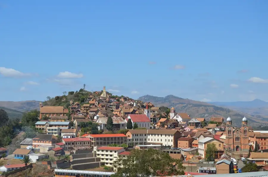
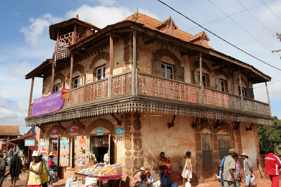
- Nearby: Ambalavao (21 km)
Best time to visit & climate
The most pleasant time to visit is Aug–Oct.
| Jan | Feb | Mar | Apr | May | Jun | Jul | Aug | Sep | Oct | Nov | Dec | |
|---|---|---|---|---|---|---|---|---|---|---|---|---|
| Avg °C | 21 | 21 | 20 | 19 | 17 | 15 | 14 | 15 | 17 | 19 | 21 | 22 |
| Rain mm | 367 | 296 | 250 | 113 | 87 | 73 | 73 | 40 | 35 | 84 | 170 | 256 |
📋 Practical info
Geography
Facts
- Pic Boby is the second-highest mountain in Madagascar at 2,658 meters.
- The national park was officially inaugurated in the year 1999.
- Over 50 species of lemurs have been identified in the massif area.
- The massif is composed of granite rock over 600 million years old.
- It is home to over 1,000 different plant species, many of which are endemic.
- In winter, temperatures on the peaks can drop below freezing point.
Explore nearby
Notable places around
Route planner — Car & Motorhome
Where do you start? We build the route here, with stops and country notes along the way.
© OpenStreetMap contributors · OpenRouteService
Sights in the town Andringitra Massif (1)
Sights nearby
Frequently asked questions
How challenging is a hike in the Andringitra Massif?
Is a mountain guide necessary for the Andringitra Massif?
What is the highlight of Andringitra National Park?
What is the weather like there?
Do I have to sleep in a tent?
Andringitra Massif: where is it located?
Andringitra Massif: when is the best time to visit?
Andringitra Massif: why is it worth visiting?

Nearby cities
History & landmarks
More places