Plizio Visual Lab
Gargaf Range

Weather…
Water temperature…
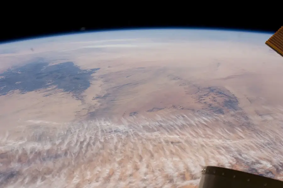
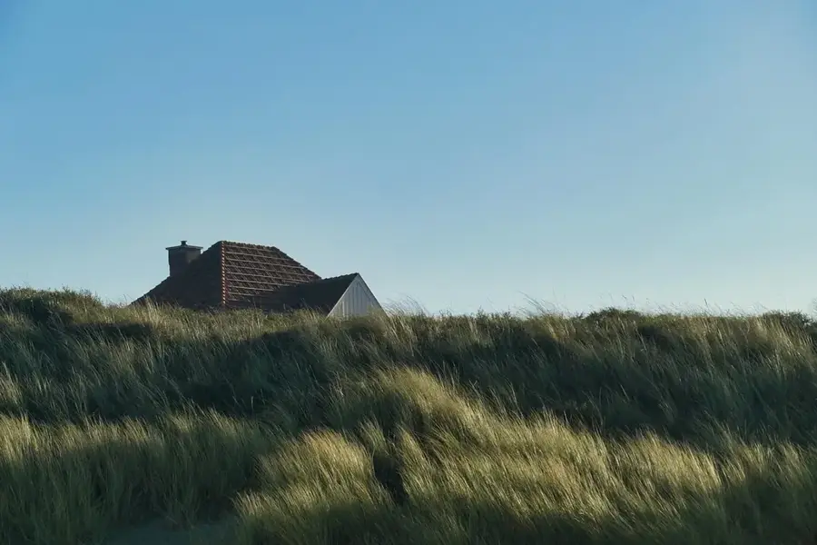
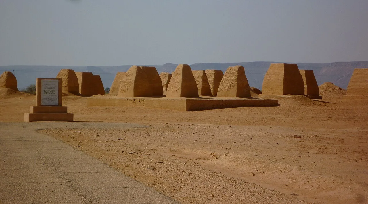
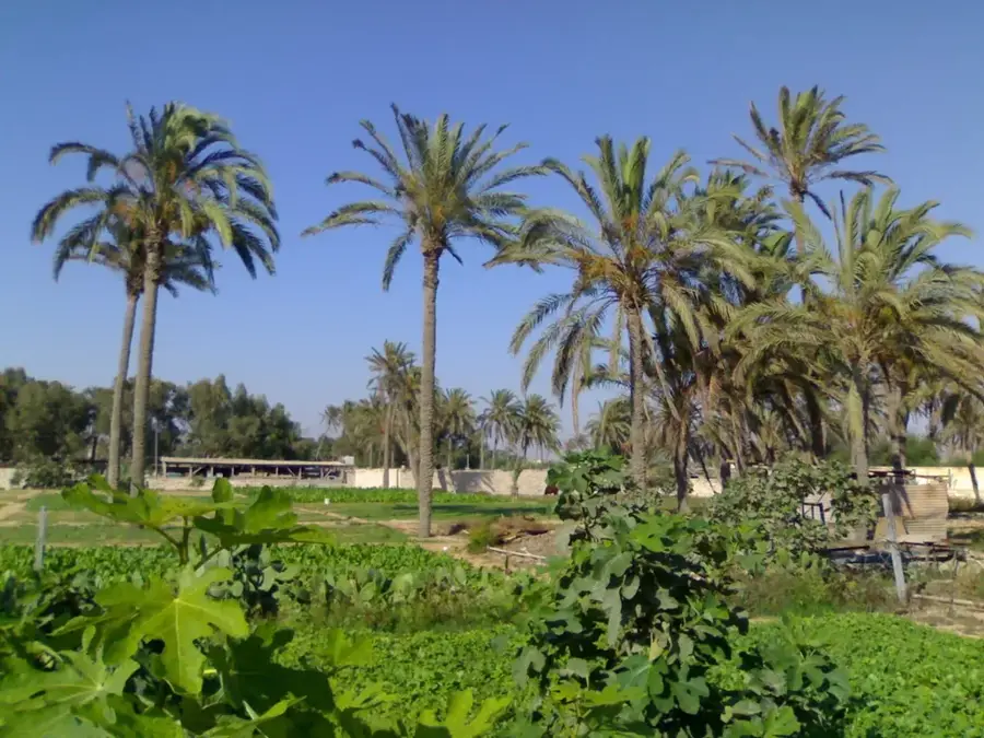
The Gargaf Range, also referred to as Jabal al Hasawinah, is a significant mountain range in west-central Libya that separates the Murzuq Basin from the Hammada al-Hamra plateau. Geologically, the relief is formed by an uplifted block of sedimentary rocks, primarily Paleozoic sandstones and quartzites. The landscape is marked by a rugged, dissected topography featuring expansive plateaus and deeply incised valleys that bear witness to ancient erosional processes. The strategic importance of the Gargaf Range lies in its geological structure, which serves as a vital reservoir for massive fossil aquifers. These water resources are a primary source for the Great Man-Made River project, providing essential drinking water to coastal cities in the north. Natural vegetation is extremely sparse and limited to the lower wadi beds, while the higher elevations are virtually barren. Despite the current hyper-arid conditions, the range hosts significant prehistoric sites, including lithic tools and rock art, reflecting a long history of human occupation in this now isolated desert region.
- Location: Libya
- Nearby: Brak (76 km)
Best time to visit & climate
The most pleasant time to visit is Mar, Apr, Oct.
| Jan | Feb | Mar | Apr | May | Jun | Jul | Aug | Sep | Oct | Nov | Dec | |
|---|---|---|---|---|---|---|---|---|---|---|---|---|
| Avg °C | 10 | 13 | 18 | 23 | 28 | 31 | 32 | 32 | 30 | 24 | 18 | 12 |
| Rain mm | 3 | 2 | 2 | 2 | 3 | 2 | 0 | 0 | 3 | 5 | 3 | 5 |
📋 Practical info
Geography
Facts
- The Gargaf Range divides the Hammada al-Hamra to the north and the Murzuq Basin to the south.
- The mountains are primarily composed of Cambrian and Ordovician sandstones.
- The region is a key extraction area for the Great Man-Made River water project.
- Jabal al Hasawinah is the specific local name for the central part of the range.
- Evidence of ancient Paleozoic glaciation has been discovered within these rock layers.
- The average elevation of the range's plateaus is between 500 and 700 meters above sea level.
Explore nearby
Notable places around
Route planner — Car & Motorhome
Where do you start? We build the route here, with stops and country notes along the way.
© OpenStreetMap contributors · OpenRouteService
Sights nearby
Frequently asked questions
What is the highest peak in the Gargaf Range?
Are there caves there?
Is the range of volcanic origin?
Are there settlements there?
What is the ground condition like?
Gargaf Range: where is it located?
Gargaf Range: when is the best time to visit?
Gargaf Range: why is it worth visiting?

Nearby cities
History & landmarks
Nature
More places