Plizio Visual Lab
Gargaf Mountains

Weather…
Water temperature…
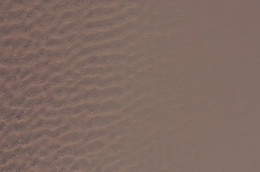
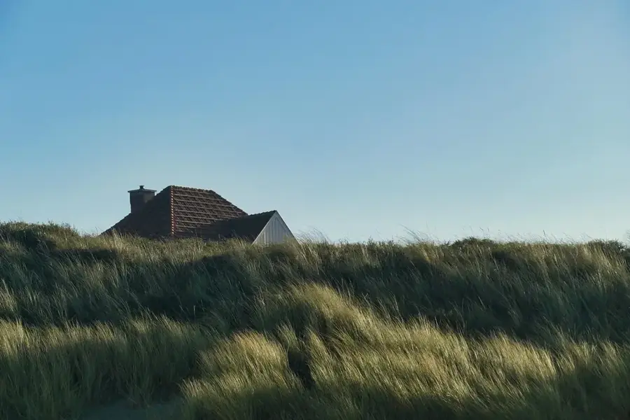
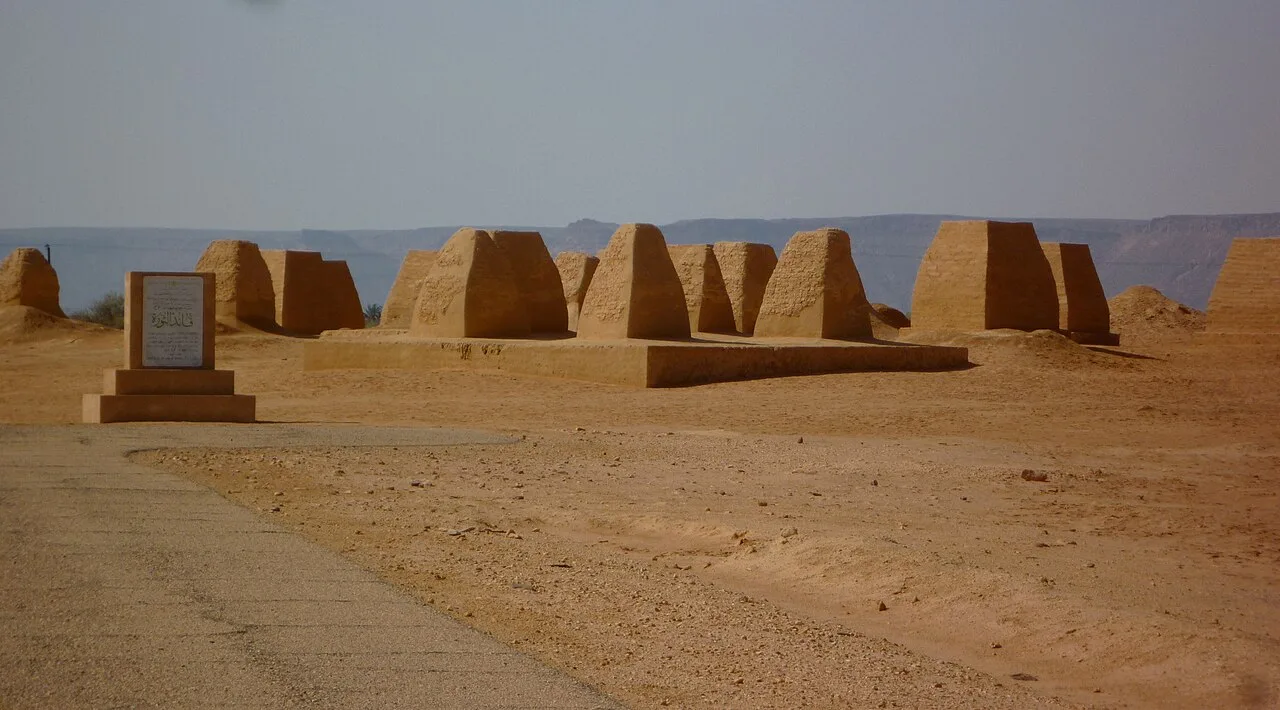
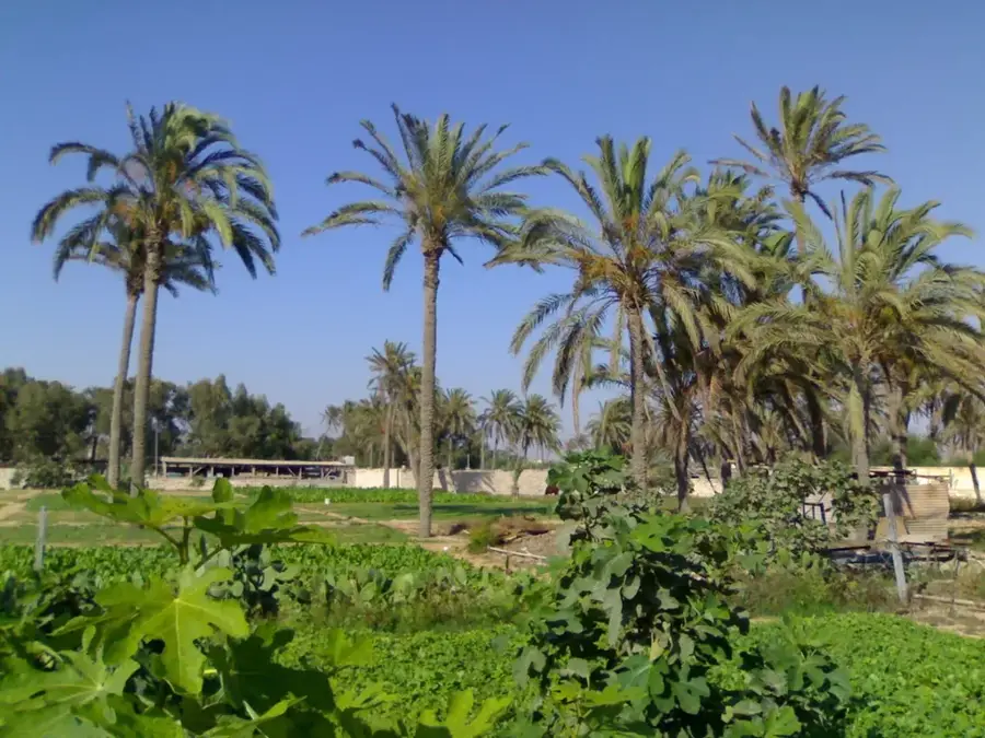
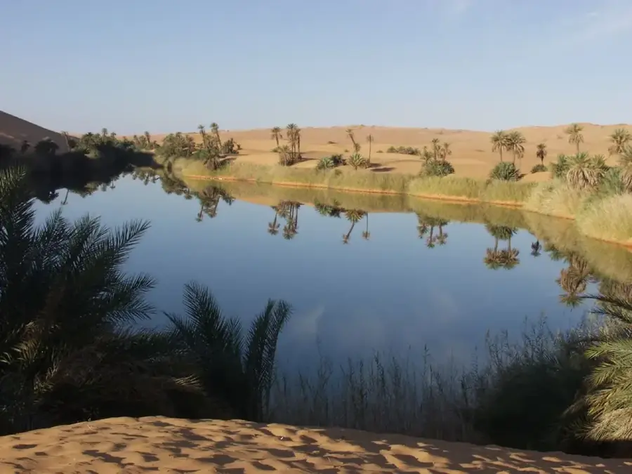
The Gargaf Mountains, often referred to as Jabal al Hasawinah, form a prominent mountain massif in central Libya, consisting of dark Paleozoic sedimentary rocks. This region is of great geological importance as it represents a natural threshold between the Fezzan Basin to the south and the Sirt Basin region to the north. The mountains are characterized by deep wadis, rugged canyons, and wide plateaus, which are witnesses to an intensive erosive past. Particularly noteworthy are the numerous sites of prehistoric rock art depicting scenes from a time when elephants, giraffes, and cattle were native to this now barren area. These engravings testify to the dramatic climatic changes of the Sahara over the last millennia. Vegetation is sparse and restricted to the deepest parts of the wadis, where acacia-like shrubs and grasses sprout after rare rainfalls. For the local population, the mountains served for centuries as a hiding place and shelter during armed conflicts and as a vital reference point for navigation in the surrounding gravel desert.
- Location: Libya
- Nearby: Brak (27 km)
Best time to visit & climate
The most pleasant time to visit is Mar, Apr, Oct.
| Jan | Feb | Mar | Apr | May | Jun | Jul | Aug | Sep | Oct | Nov | Dec | |
|---|---|---|---|---|---|---|---|---|---|---|---|---|
| Avg °C | 10 | 13 | 18 | 23 | 28 | 31 | 32 | 32 | 30 | 24 | 18 | 12 |
| Rain mm | 3 | 2 | 2 | 2 | 3 | 2 | 0 | 0 | 3 | 5 | 3 | 5 |
📋 Practical info
Geography
Facts
- The Gargaf Mountains separate the Sirt Basin from the Fezzan Basin.
- The rock art in the region dates back as far as 8,000 years.
- The rock consists predominantly of sandstone and shale.
- Jabal al Hasawinah is the alternative local name for the massif.
- Wadi Kneir is one of the most famous valleys within the range.
- In ancient times, important trade routes passed through the Gargaf passes.
Explore nearby
Notable places around
Route planner — Car & Motorhome
Where do you start? We build the route here, with stops and country notes along the way.
© OpenStreetMap contributors · OpenRouteService
Sights in the town Gargaf Mountains (1)
Sights nearby
Frequently asked questions
What rock types are found in the Gargaf Mountains?
Are there prehistoric finds there?
How remote are the Gargaf Mountains?
Can rare animals be observed there?
What equipment is needed for a tour?
Gargaf Mountains: where is it located?
Gargaf Mountains: when is the best time to visit?
Gargaf Mountains: why is it worth visiting?

Nearby cities
History & landmarks
Nature
More places