Plizio Visual Lab
Mount Putu
Weather…
Water temperature…
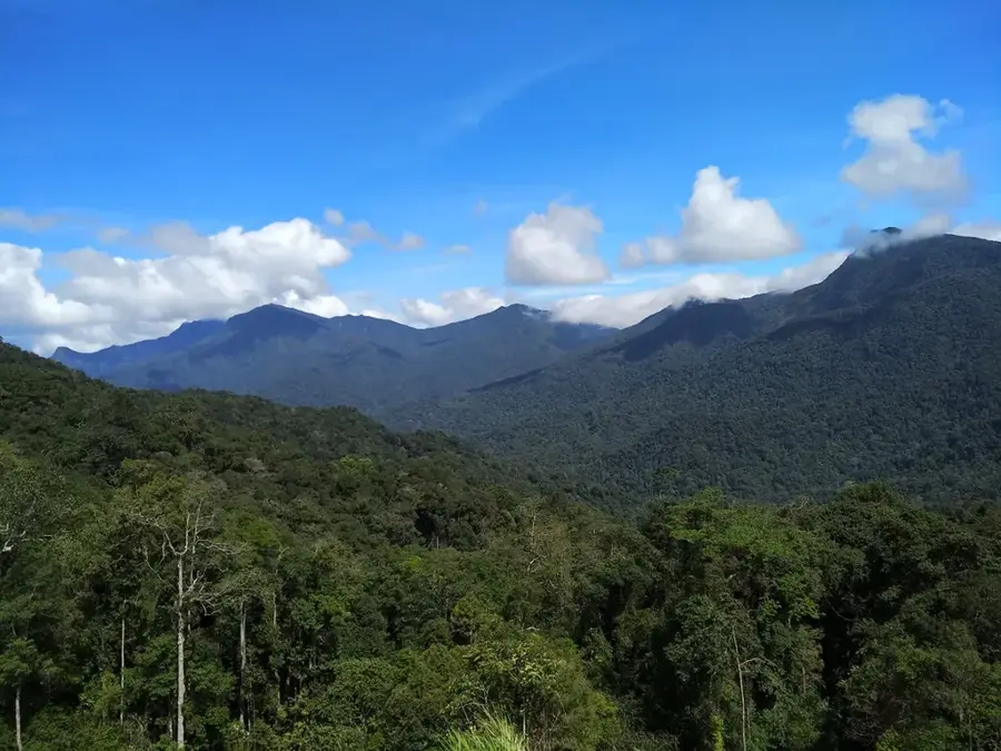
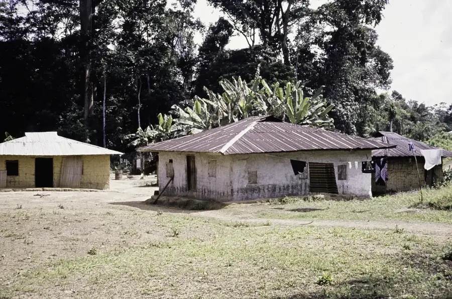
Mount Putu is a significant mountain range located in the Grand Gedeh County of southeastern Liberia. Rising sharply from the surrounding lowland rainforests, it is a prominent feature of the regional topography and is renowned for its unique geological composition. The mountain is primarily formed from iron-rich banded iron formations (BIF), making it a site of immense mineral interest while also creating a distinct soil environment that supports specialized plant life. Its slopes are draped in dense primary rainforest, providing a sanctuary for a wide array of wildlife, including rare bird species and primates that thrive in the cooler, elevated microclimate. Mount Putu serves as a vital ecological corridor in the Upper Guinean forest hotspot, connecting various forested landscapes in the southeast. While its mineral wealth has put it at the center of discussions regarding mining and economic development, its environmental value remains a priority for conservationists. For those who explore its rugged terrain, the mountain provides dramatic panoramic views of Liberia's vast forest canopy and a glimpse into the raw, geological power that shaped the West African interior.
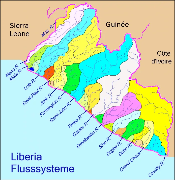
- Location: Liberia
- Nearby: Blay (15 km)
Best time to visit & climate
The most pleasant time to visit is Jan, Feb, Dec.
| Jan | Feb | Mar | Apr | May | Jun | Jul | Aug | Sep | Oct | Nov | Dec | |
|---|---|---|---|---|---|---|---|---|---|---|---|---|
| Avg °C | 26 | 27 | 27 | 27 | 26 | 25 | 24 | 24 | 25 | 25 | 26 | 26 |
| Rain mm | 39 | 72 | 120 | 137 | 206 | 279 | 145 | 164 | 221 | 232 | 134 | 71 |
📋 Practical info
Geography
Facts
- Elevation: 1,000 m
- Iron ore reserves: 2 billion tons
- Reserve area: 300 km²
- Elephant population: 20
- Mining start year: 2010
- Deforested area: 20 km²
Explore nearby
Notable places around
Route planner — Car & Motorhome
Where do you start? We build the route here, with stops and country notes along the way.
© OpenStreetMap contributors · OpenRouteService
Sights nearby
Frequently asked questions
What is Mount Putu best known for?
Can you go hiking there?
Which city is closest?
Are there viewpoints?
Is the mountain dangerous?
Mount Putu: where is it located?
Mount Putu: when is the best time to visit?
Mount Putu: why is it worth visiting?

Nearby cities


History & landmarks
Nature
More places