Plizio Visual Lab
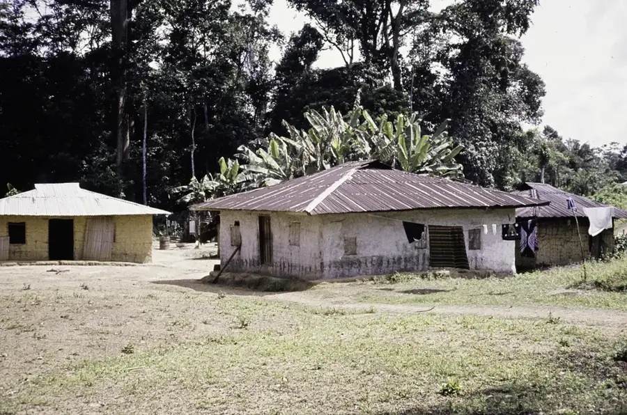
Putu Range Forest
Weather…
Water temperature…
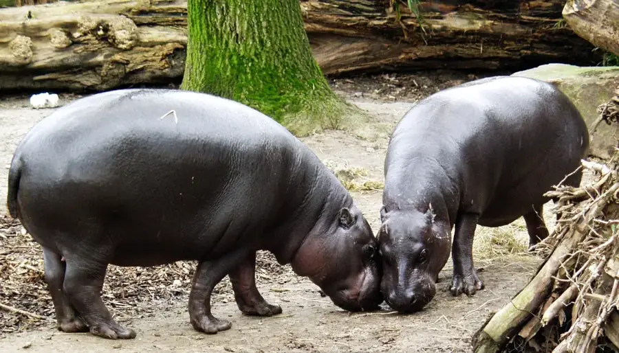
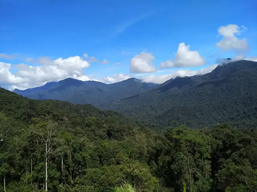
The Putu Range Forest, located in the Grand Gedeh County of southeastern Liberia, is recognized as a critical biodiversity hotspot within the Upper Guinean forest ecosystem. Rising above the surrounding lowlands, this mountain range acts as a biological island, hosting a dense cover of primary rainforest that is home to several globally threatened species. It is one of the few remaining strongholds for the elusive pygmy hippopotamus and provides a vital habitat for significant populations of Western chimpanzees, forest elephants, and Diana monkeys. The botanical diversity is equally impressive, with a high degree of endemism among its vascular plants and ancient tree species. The forest plays a crucial role in regional carbon sequestration and serves as a vital watershed for the surrounding communities. However, the area faces significant conservation challenges due to its rich iron ore deposits, which have attracted large-scale mining interests. Efforts by international and local conservationists continue to advocate for the protection of this unique wilderness to ensure its survival as one of West Africa's most important natural sanctuaries.
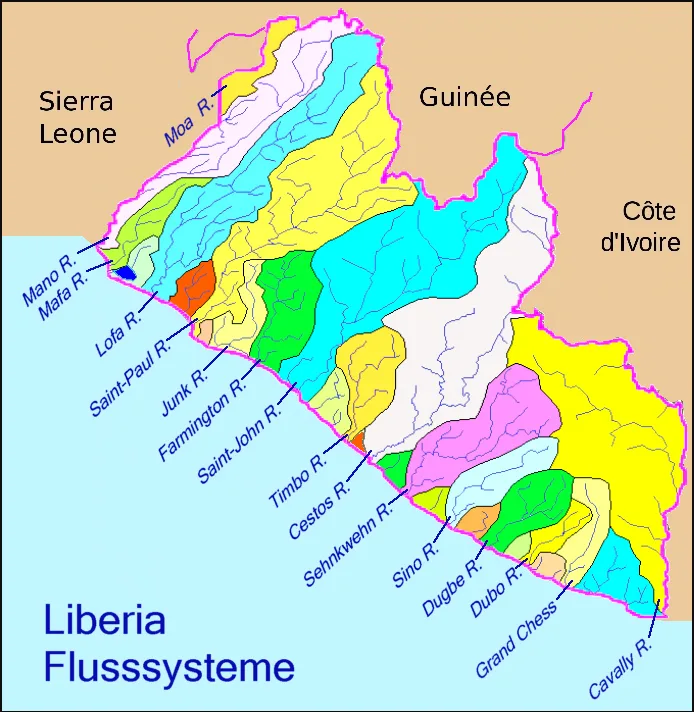
- Location: Liberia
- Nearby: Blay (16 km)
Best time to visit & climate
The most pleasant time to visit is Jan, Feb, Dec.
| Jan | Feb | Mar | Apr | May | Jun | Jul | Aug | Sep | Oct | Nov | Dec | |
|---|---|---|---|---|---|---|---|---|---|---|---|---|
| Avg °C | 26 | 27 | 27 | 27 | 26 | 25 | 24 | 24 | 25 | 25 | 26 | 26 |
| Rain mm | 39 | 72 | 120 | 137 | 206 | 279 | 145 | 164 | 221 | 232 | 134 | 71 |
📋 Practical info
Geography
Facts
- Maximum elevation: 600 m.
- Annual rainfall: 3,200 mm.
- Iron ore reserves: estimated 4 billion tons.
- Endemic bird species: Putu warbler (Phylloscopus putuensis).
- Community forest area: 200 km².
- Threat: planned open-pit iron ore mining.
Explore nearby
Notable places around
Route planner — Car & Motorhome
Where do you start? We build the route here, with stops and country notes along the way.
© OpenStreetMap contributors · OpenRouteService
Sights nearby
Frequently asked questions
Where is the Putu Range Forest located?
What is the economic importance of the region?
Are there rare birds there?
What is the terrain like?
Is the forest protected?
Putu Range Forest: where is it located?
Putu Range Forest: when is the best time to visit?
Putu Range Forest: why is it worth visiting?

Nearby cities


History & landmarks
Nature
More places