Plizio Visual Lab
Karloke

ℹ️Practical info — Karloke
▾
🌤 Weather — 5 days
📍 Nearby
Sights nearby
💡 Tips
- Roads in Maryland County are often unpaved and muddy; a 4WD vehicle is highly recommended, especially in the rainy season.
- ATMs are virtually non-existent here; bring enough Liberian Dollars and small US notes from Harper or Monrovia.
- The coastal humidity is intense; plan your walks and explorations for the early morning.
- Greet elders respectfully before asking for directions, as local customs value politeness highly.
🍽 Food
Find this traditional dish at small local chop bars around the settlement center.
Thanks to the coastal proximity, ask local guesthouses or market vendors for the catch of the day.
A staple Liberian dish best enjoyed with rice at family-run eateries.
🛍 Shopping · 🧘 Quiet spots
The main area to buy fresh tropical fruits and daily necessities.
Look for handcrafted baskets sold by local artisans near the main road.
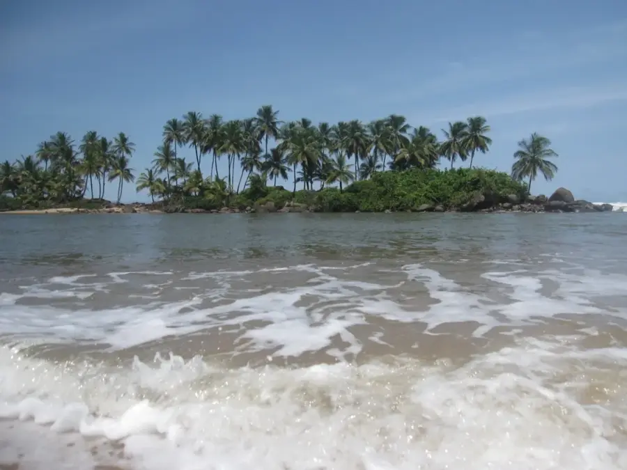
Take a walk towards the coastline for peaceful ocean views and a refreshing breeze.
A calm spot in the late afternoon to observe the slow pace of rural life.
Water temperature…
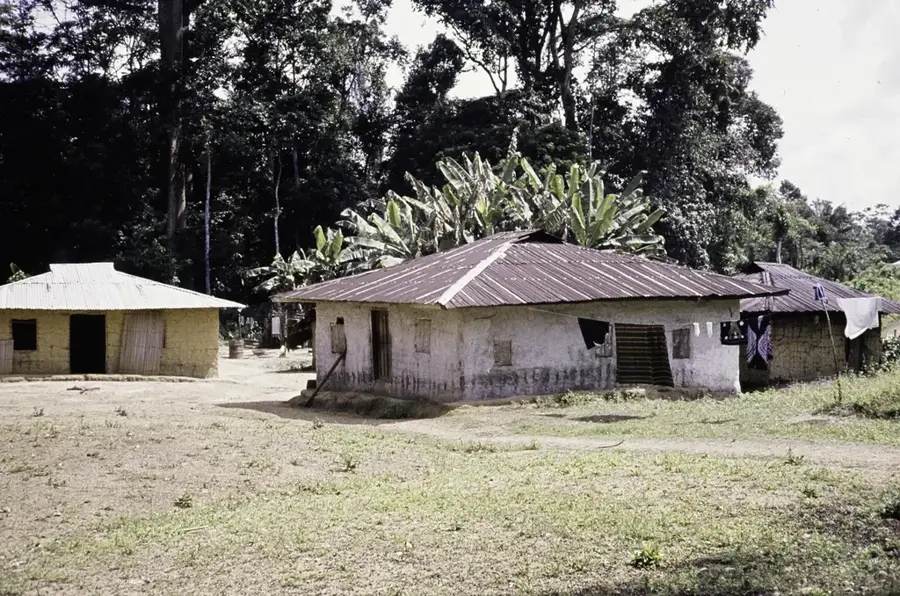
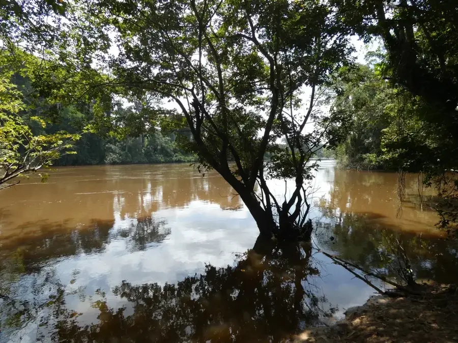
Karloke is a modest rural settlement located in Maryland County, in the southeastern corner of Liberia. Situated within reach of the Atlantic coastline and the border with Ivory Coast, the village serves as a local hub for the surrounding farming communities. The area is defined by its humid tropical climate and lush greenery, which supports the cultivation of crops like cassava and rice. Life in Karloke revolves around traditional customs and the rhythmic cycles of the agricultural seasons. While the settlement lacks major modern developments, its significance lies in its role as a social and economic anchor for Maryland County's interior. For those exploring this remote part of West Africa, Karloke has a glimpse into the resilient lifestyle of the local ethnic groups and the serene beauty of the Liberian hinterland.
- Location: Liberia
- Nearby: Pleebo (13 km)
Best time to visit & climate
The most pleasant time to visit is Jan, Feb, Dec.
| Jan | Feb | Mar | Apr | May | Jun | Jul | Aug | Sep | Oct | Nov | Dec | |
|---|---|---|---|---|---|---|---|---|---|---|---|---|
| Avg °C | 26 | 26 | 26 | 26 | 26 | 25 | 24 | 24 | 25 | 25 | 26 | 26 |
| Rain mm | 47 | 79 | 127 | 139 | 227 | 371 | 189 | 163 | 244 | 246 | 121 | 68 |
Geography
Facts
- Population: 1,500 (2022)
- Elevation: 350 m above sea level
- Distance to Guinea border: 8 km
- Waterfall height: 20 m
- Number of livestock farms: 30
- Average temperature: 24 °C
Explore nearby
Notable places around
Route planner — Car & Motorhome
Where do you start? We build the route here, with stops and country notes along the way.
© OpenStreetMap contributors · OpenRouteService
Frequently asked questions
Where exactly is Karloke located?
What is the economic base of Karloke?
Can Karloke be visited as a tourist?
What language is spoken in Karloke?
How is the road connection to Karloke?
Karloke: where is it located?
Karloke: when is the best time to visit?
Karloke: why is it worth visiting?

Nearby cities


History & landmarks

Nature
More places