Plizio Visual Lab
Cavalla River Hydro Potential
Weather…
Water temperature…
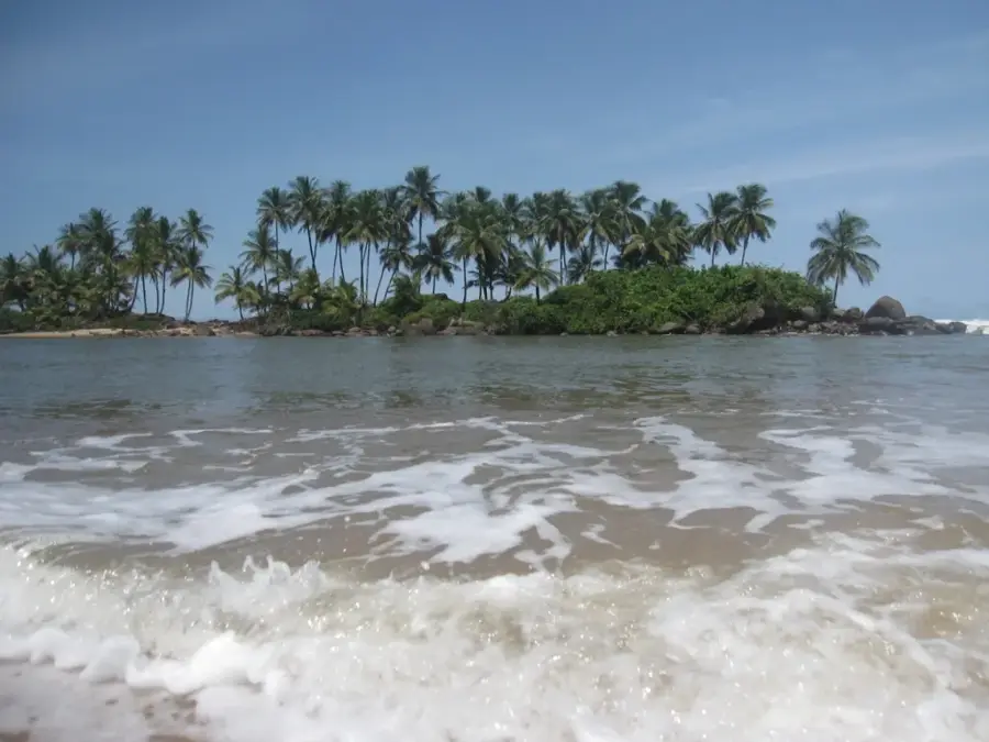
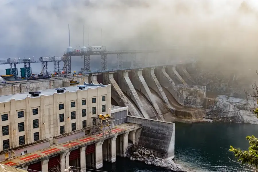
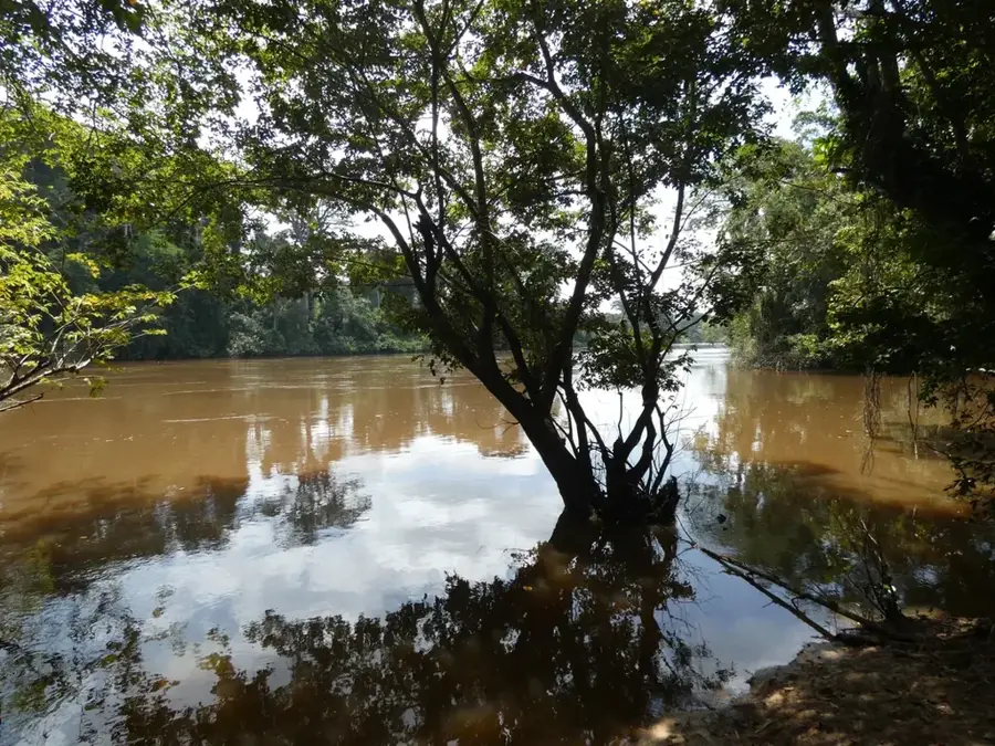
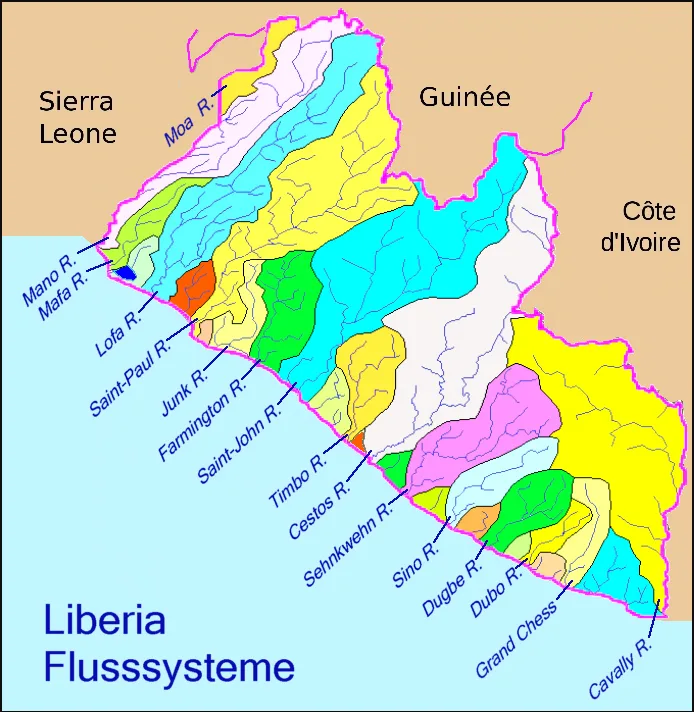
The Cavalla River, forming a significant portion of the international border between Liberia and Ivory Coast, is a powerhouse of untapped natural energy. Known for its consistent flow and steep gradients, the river has been identified as a critical site for Liberia’s renewable energy ambitions, specifically through the proposed Tiboto hydroelectric project. This large-scale development aims to transform the regional power landscape, providing sustainable electricity that could drastically reduce Liberia's reliance on expensive fuel imports. Beyond its industrial potential, the Cavalla River basin is a biodiversity hotspot, winding through dense rainforests that are home to many rare species. Development plans prioritize a transboundary approach, requiring cooperation between Liberia and Ivory Coast to manage shared water resources effectively. The river’s hydro potential represents more than just electricity; it is a catalyst for economic modernization and rural electrification, promising to bring modern infrastructure to the southeastern provinces while fostering international partnership in West Africa.
- Location: Liberia
- Nearby: Harper (22 km)
Best time to visit & climate
The most pleasant time to visit is Jan, Aug, Dec.
| Jan | Feb | Mar | Apr | May | Jun | Jul | Aug | Sep | Oct | Nov | Dec | |
|---|---|---|---|---|---|---|---|---|---|---|---|---|
| Avg °C | 26 | 27 | 27 | 27 | 27 | 26 | 25 | 24 | 25 | 26 | 26 | 26 |
| Rain mm | 59 | 87 | 125 | 139 | 242 | 389 | 173 | 127 | 199 | 201 | 116 | 67 |
📋 Practical info
Geography
Facts
- River length: 515 km.
- Estimated hydropower potential: 1,050 MW.
- Height of Cavalla Falls: 20 meters.
- Catchment area: 30,000 square kilometers.
- Average discharge: 500 cubic meters per second.
- Planned dam capacity: 400 MW (Cavalla Dam).
Explore nearby
Notable places around
Route planner — Car & Motorhome
Where do you start? We build the route here, with stops and country notes along the way.
© OpenStreetMap contributors · OpenRouteService
Sights in the town Cavalla River Hydro Potential (1)
Sights nearby
Frequently asked questions
Is swimming allowed in the Cavalla River?
Can you take boat trips on the Cavalla?
Are there dangers from wildlife?
When is the water level lowest?
Is there catering on the river bank?
Cavalla River Hydro Potential: where is it located?
Cavalla River Hydro Potential: when is the best time to visit?
Cavalla River Hydro Potential: why is it worth visiting?

Nearby cities


History & landmarks

Nature
More places