Plizio Visual Lab
Cavalla River
Weather…
Water temperature…
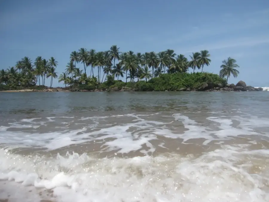
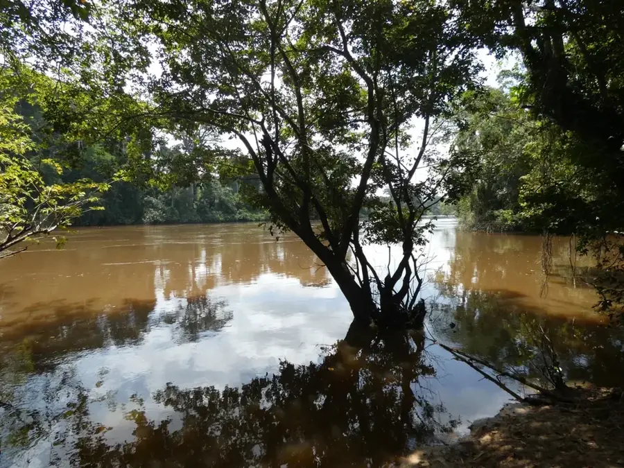
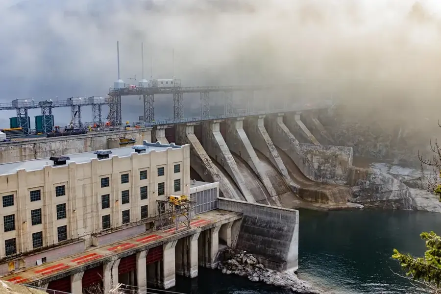
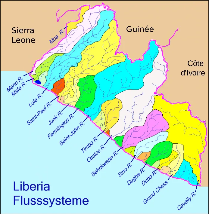
The Cavalla River, often referred to as the Cavally, originates in the northern highlands near Mount Nimba on the border with Guinea. Extending roughly 515 kilometers, it stands as the longest river in Liberia and serves as a significant natural border with Ivory Coast for most of its course. Unlike many other West African rivers, the Cavalla flows directly into the Atlantic Ocean, meeting the sea south of the historic city of Harper. The river basin is characterized by dense tropical rainforests that harbor unique wildlife, including the elusive pygmy hippopotamus. For the surrounding provinces, the river remains a crucial transportation corridor, enabling the movement of timber and agricultural products where road access is limited. Local communities rely heavily on its waters for fishing and small-scale alluvial mining. Its status as an international boundary makes it a focal point for regional cooperation and cross-border trade between the two neighboring nations.
- Location: Liberia
- Nearby: Harper (20 km)
Best time to visit & climate
The most pleasant time to visit is Jan, Aug, Dec.
| Jan | Feb | Mar | Apr | May | Jun | Jul | Aug | Sep | Oct | Nov | Dec | |
|---|---|---|---|---|---|---|---|---|---|---|---|---|
| Avg °C | 26 | 27 | 27 | 27 | 27 | 26 | 25 | 24 | 25 | 26 | 26 | 26 |
| Rain mm | 59 | 87 | 125 | 139 | 242 | 389 | 173 | 127 | 199 | 201 | 116 | 67 |
📋 Practical info
Geography
Facts
- Length: 515 km
- Basin area: 24,000 km²
- Discharge: 300 m³/s
- Fish species: 80
- Sapo National Park area: 1,800 km²
- Boundary with Ivory Coast: 210 km
Explore nearby
Notable places around
Route planner — Car & Motorhome
Where do you start? We build the route here, with stops and country notes along the way.
© OpenStreetMap contributors · OpenRouteService
Sights nearby
Frequently asked questions
Where does the Cavalla River form the border?
Are boat crossings allowed?
Are there crocodiles in the Cavalla?
Can you visit the river mouth?
What is the best time to visit?
Cavalla River: where is it located?
Cavalla River: when is the best time to visit?
Cavalla River: why is it worth visiting?

Nearby cities


History & landmarks

Nature
More places