Plizio Visual Lab
Maryland Coast

Weather…
Water temperature…
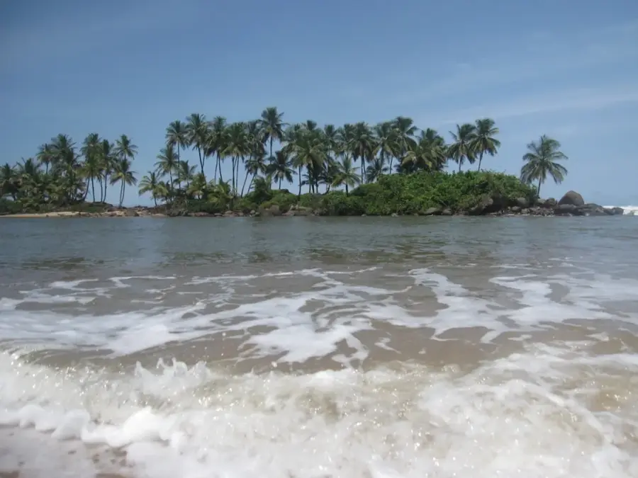
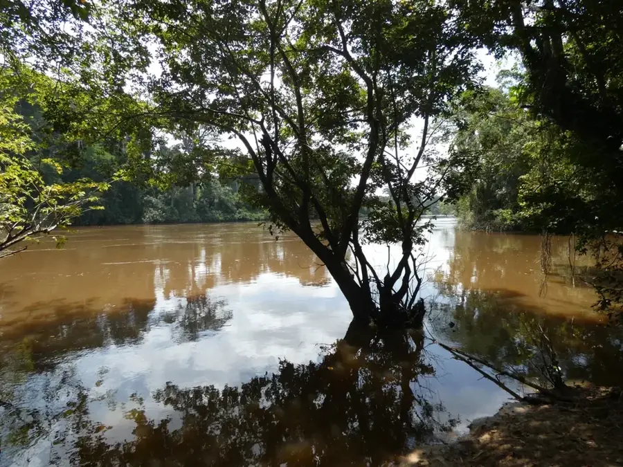
The Maryland Coast, located in the far southeastern corner of Liberia, is a region defined by its rugged Atlantic beauty and deep historical roots. The shoreline features expansive sandbanks, dense coconut groves, and a powerful surf that has shaped the local geography for millennia. At its heart lies the town of Harper, famous for its decaying yet stately Americo-Liberian mansions that echo the architectural styles of the American South, a testament to the freed slaves who established the 'Republic of Maryland' in the 1830s. A prominent landmark is the Cape Palmas lighthouse, perched on a rocky outcrop where the Atlantic waves crash with immense force. The region is the traditional home of the Kru people, celebrated for their legendary seafaring skills and resistance to colonial pressures. Today, the Maryland coast features an evocative blend of colonial nostalgia, pristine beaches, and the lively life of fishing communities, making it one of the most culturally rich and visually striking coastal landscapes in West Africa.
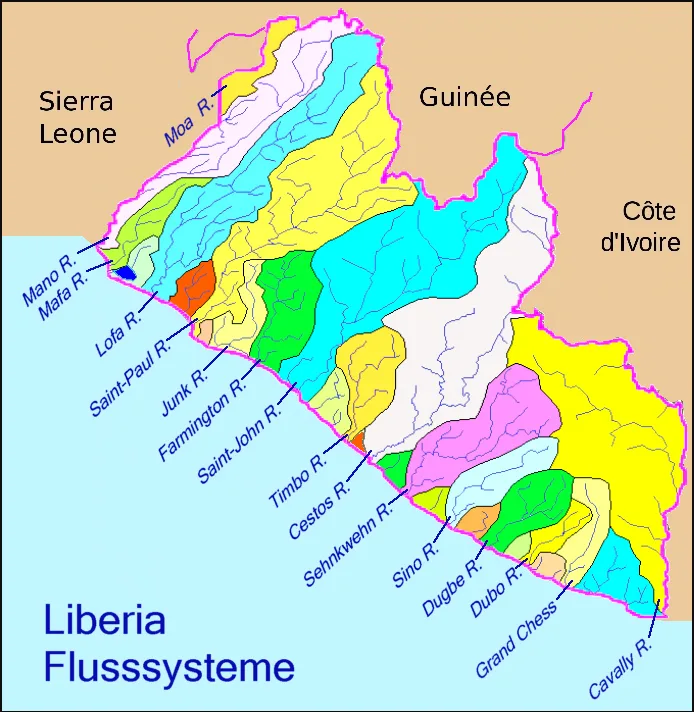
- Location: Liberia
- Nearby: Pleebo (26 km)
Best time to visit & climate
The most pleasant time to visit is Jan, Aug, Dec.
| Jan | Feb | Mar | Apr | May | Jun | Jul | Aug | Sep | Oct | Nov | Dec | |
|---|---|---|---|---|---|---|---|---|---|---|---|---|
| Avg °C | 26 | 27 | 27 | 27 | 27 | 26 | 25 | 24 | 25 | 26 | 26 | 26 |
| Rain mm | 59 | 87 | 125 | 139 | 242 | 389 | 173 | 127 | 199 | 201 | 116 | 67 |
📋 Practical info
Geography
Facts
- The Maryland Coast is 150 km long.
- Beach width reaches up to 100 m in places.
- Approximately 500 sea turtles nest here annually.
- Mangrove forests cover 50 km².
- Average water temperature is 26 °C.
- Tidal range is 1.5 m.
Explore nearby
Notable places around
Route planner — Car & Motorhome
Where do you start? We build the route here, with stops and country notes along the way.
© OpenStreetMap contributors · OpenRouteService
Sights nearby
Frequently asked questions
Which city is located on the Maryland coast?
Are the beaches suitable for surfing?
Are there historical buildings on the coast?
Can you see turtles on the Maryland coast?
Is the sea safe for swimming there?
Maryland Coast: where is it located?
Maryland Coast: when is the best time to visit?
Maryland Coast: why is it worth visiting?

Nearby cities


Nature
More places